Montañas de Alemania
Verla en 3DPiekberg
161 m529 ft
Colina · Alemania
At 160.9 m above sea level (HN), the Piekberg is the highest point on the island of Rügen and in the region of West Pomerania. It is also the fifth highest point in the German state of Mecklenburg-Vorpommern. It barely rises above the surrounding area, though, as the height difference is very low.
De Wikipedia, CC BY-SA · Leer el artículo
En la cumbre · pronóstico para las 0:00
10 °CNublado · viento de 15 km/h del S
Clima en la cumbre de Piekberg, 161 m
- 0:0010 °CS 15 km/h–
- 3:009 °CS 13 km/h0,2 mm
- 6:009 °CO 9 km/h0,1 mm
- 9:0010 °CO 6 km/h–
- 12:0012 °CO 9 km/h–
- 15:0012 °CNO 12 km/h–
- 18:009 °CO 8 km/h–
- 21:008 °CSO 7 km/h–
| Día | Cielo | Máx. / mín. | Lluvia | Viento hasta |
|---|---|---|---|---|
| Hoy | Parcialmente nublado | 12 °C / 8 °C | 0,3 mm | 15 km/h |
| jue, 29 oct | Nublado | 10 °C / 8 °C | – | 12 km/h |
| vie, 30 oct | Nublado | 11 °C / 9 °C | – | 11 km/h |
| sáb, 31 oct | Nublado | 11 °C / 9 °C | – | 9 km/h |
| dom, 1 nov | Nublado | 10 °C / 8 °C | – | 14 km/h |
| lun, 2 nov | Nublado | 9 °C / 8 °C | – | 17 km/h |
| mar, 3 nov | Nublado | 10 °C / 8 °C | – | 15 km/h |
Pronóstico de MET Norway (CC BY 4.0), actualizado a las 05:29 CET. Horas locales.
Ficha técnica
- Tipo
- Colina
- Altitud sobre el nivel del mar
- 161 m (529 ft)
- Prominencia
- 161 m (529 ft)
- País
- Alemania
- Coordenadas
- 54.553°N 13.628°E
- Fuente
- Wikidata, CC0
Picos cerca de Piekberg
- Königsstuhl118 m · a 3,1 kmEn el mapa
- Rugard91 m · a 19 kmEn el mapa
- HerthaburgColina · a 2,1 kmEn el mapa
- Kleiner KönigsstuhlMontaña · a 3,2 kmEn el mapa
- Schlossberg24 m · a 12 kmEn el mapa
- WaldhalleColina · a 19 kmEn el mapa
- Baken-Berg66 m · a 21 kmEn el mapa
- Zickerberg66 m · a 29 kmEn el mapa
- Lotsenberg36 m · a 32 kmEn el mapa
- Mühlberg24 m · a 48 kmEn el mapa
Montañas más altas de Alemania
- Zugspitze2962 mEn el mapa
- Hochwanner2744 mEn el mapa
- Dreitorspitze2682 mEn el mapa
- Hochkalter2607 mEn el mapa
- Biberkopf2599 mEn el mapa
- Großer Hundstod2594 mEn el mapa
- Hochvogel2592 mEn el mapa
- Östliche Karwendelspitze2538 mEn el mapa
- Hocheisspitze2523 mEn el mapa
- Hoher Göll2522 mEn el mapa
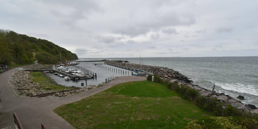
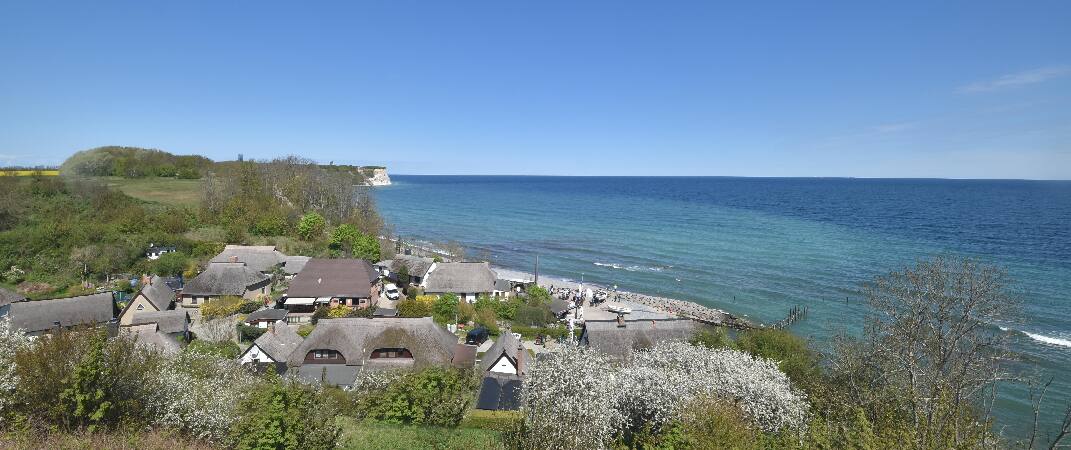
Cámaras web cerca de Piekberg


Historia alrededor de Piekberg
Ciudades cerca de Piekberg
- Stralsunda 45 km
- Universitäts- und Hansestadt Greifswalda 54 km