Piz Blas
3019 m9905 ft
Montaña · Alpes Lepontinos · Suiza
Piz Blas is a mountain in the Lepontine Alps, located on the border between the cantons of Graubünden and Ticino. At 3,019 metres above sea level, Piz Blas is the highest mountain of Val Cadlimo (Ticino), a valley drained by the Reno da Medel, a tributary of the Rhine.
De Wikipedia, CC BY-SA · Leer el artículo
En la cumbre · pronóstico para las 21:00
-4 °CNiebla · viento de 5 km/h del NO
 Verla en 3D
Clima en la cumbre de Piz Blas, 3019 m
- 21:00-4 °CNO 5 km/h–
- 0:00-5 °CNO 8 km/h–
- 3:00-6 °CNO 9 km/h0,2 mm
- 6:00-4 °CN 7 km/h–
- 9:00-2 °CN 8 km/h–
- 12:00-1 °CN 9 km/h–
- 15:00-1 °CN 9 km/h–
- 18:00-4 °CN 6 km/h–
| Día | Cielo | Máx. / mín. | Lluvia | Viento hasta |
|---|---|---|---|---|
| mié, 28 oct | Nublado | -1 °C / -6 °C | 0,2 mm | 9 km/h |
| jue, 29 oct | Despejado | 3 °C / -9 °C | – | 8 km/h |
| vie, 30 oct | Despejado | 2 °C / -10 °C | – | 5 km/h |
| sáb, 31 oct | Despejado | 2 °C / -10 °C | – | 4 km/h |
| dom, 1 nov | Despejado | 2 °C / -12 °C | – | 8 km/h |
| lun, 2 nov | Despejado | -1 °C / -9 °C | – | 12 km/h |
| mar, 3 nov | Parcialmente nublado | -1 °C / -11 °C | – | 12 km/h |
Pronóstico de MET Norway (CC BY 4.0), actualizado a las 18:17 CET. Horas locales.
Ficha técnica
- Tipo
- Montaña
- Altitud sobre el nivel del mar
- 3019 m (9905 ft)
- Prominencia
- 312 m (1024 ft)
- Aislamiento
- a 5,9 km de un terreno más alto
- Cordillera
- Alpes Lepontinos
- Pico padre
- Piz Gannaretsch
- País
- Suiza
- Coordenadas
- 46.577°N 8.728°E
- Fuente
- Wikidata, CC0
Piz Blas
Mountain in Switzerland
Piz Blas is a mountain in the Lepontine Alps, located on the border between the cantons of Graubünden and Ticino. At 3,019 metres above sea level, Piz Blas is the highest mountain of Val Cadlimo (Ticino), a valley drained by the Reno da Medel, a tributary of the Rhine. On its northern side (Graubünden), it overlooks the valleys of Lake Curnera and Lake Nalps, both drained by tributaries of the Rhine.
De Wikipedia, CC BY-SA · Leer el artículo
Picos cerca de Piz Blas
- Scopi3190 m · a 7,8 kmEn el mapa
- Piz Medel3210 m · a 15 kmEn el mapa
- Witenwasserenstock3085 m · a 20 kmEn el mapa
- Pizzo Rotondo3192 m · a 21 kmEn el mapa
- Galenstock3586 m · a 24 kmEn el mapa
- Dammastock3630 m · a 25 kmEn el mapa
- Rheinwaldhorn3402 m · a 26 kmEn el mapa
- Basòdino3272 m · a 27 kmEn el mapa
- Hinter Tierberg3445 m · a 28 kmEn el mapa
- Tödi3612 m · a 30 kmEn el mapa
Pico padre
El pico más alto más cercano respecto al que se mide su prominencia.
Picos por debajo de Piz Blas
- Piz Rondadura3016 mEn el mapa
- Piz Ravetsch3007 mEn el mapa
- Piz Denter2956 mEn el mapa
Los más altos de Alpes Lepontinos
- Monte Leone3553 mEn el mapa
- Blinnenhorn3374 mEn el mapa
- Helsenhorn3272 mEn el mapa
- Scherbadung3211 mEn el mapa
- Chüebodenhorn3070 mEn el mapa
- Pizzo Gallina3061 mEn el mapa
- Piz Blas3019 mEn el mapa
- Pizzo Centrale2999 mEn el mapa
- Grieshorn2969 mEn el mapa
Montañas más altas de Suiza
- Pico Dufour4634 mEn el mapa
- Dom4546 mEn el mapa
- Liskamm4532 mEn el mapa
- Weisshorn4505 mEn el mapa
- Cervino4478 mEn el mapa
- Dent Blanche4357 mEn el mapa
- Grand Combin4309 mEn el mapa
- Finsteraarhorn4274 mEn el mapa
- Zinalrothorn4221 mEn el mapa
- Alphubel4206 mEn el mapa
Cámaras web cerca de Piz Blas
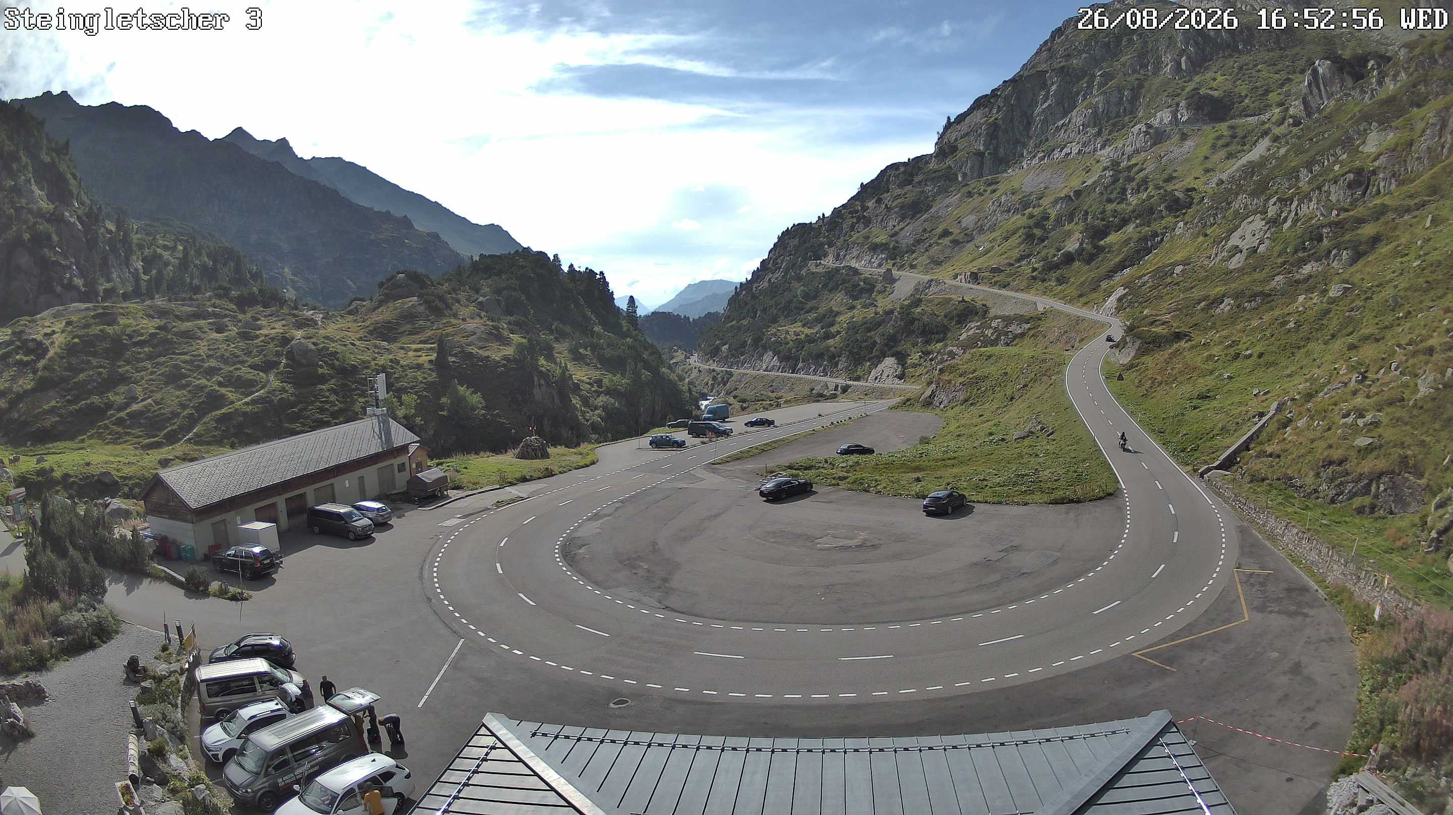
Historia alrededor de Piz Blas
Ciudades cerca de Piz Blas
- Locarnoa 46 km
- Bellinzonaa 48 km
- Schwyza 50 km
- Kriensa 61 km
- Domodossolaa 61 km
- Einsiedelna 61 km