Piz Blas
3,019 m9,905 ft
Mountain · Lepontine Alps · Switzerland
Piz Blas is a mountain in the Lepontine Alps, located on the border between the cantons of Graubünden and Ticino. At 3,019 metres above sea level, Piz Blas is the highest mountain of Val Cadlimo (Ticino), a valley drained by the Reno da Medel, a tributary of the Rhine.
From Wikipedia, CC BY-SA · Read the article
At the summit · forecast for 6:00 AM
-4 °CClear · wind 4 km/h from the N
 See it in 3D
Weather at the summit of Piz Blas, 3,019 m
- 6:00 AM-4 °CN 4 km/h–
- 9:00 AM-0 °CN 5 km/h–
- 12:00 PM6 °CNW 3 km/h–
- 3:00 PM7 °CN 6 km/h–
- 6:00 PM0 °CNW 4 km/h–
- 9:00 PM-4 °CNW 6 km/h–
- 12:00 AM-6 °CNW 8 km/h–
- 3:00 AM-6 °CNW 8 km/h0.3 mm
| Day | Sky | High / low | Rain | Wind up to |
|---|---|---|---|---|
| Today | Mostly clear | 7 °C / -6 °C | – | 8 km/h |
| Wed, Oct 28 | Cloudy | -0 °C / -6 °C | 0.3 mm | 9 km/h |
| Thu, Oct 29 | Clear | 2 °C / -9 °C | – | 8 km/h |
| Fri, Oct 30 | Clear | 2 °C / -11 °C | – | 4 km/h |
| Sat, Oct 31 | Mostly clear | 1 °C / -11 °C | – | 6 km/h |
| Sun, Nov 1 | Clear | 3 °C / -9 °C | – | 4 km/h |
| Mon, Nov 2 | Clear | 2 °C / -11 °C | – | 6 km/h |
Forecast by MET Norway (CC BY 4.0), updated 02:17 AM GMT+1. Times are local.
Facts
- What it is
- Mountain
- Height above sea level
- 3,019 m (9,905 ft)
- Prominence
- 312 m (1,024 ft)
- Isolation
- 5.9 km to higher ground
- Range
- Lepontine Alps
- Parent peak
- Piz Gannaretsch
- Country
- Switzerland
- Coordinates
- 46.577°N 8.728°E
- Source
- Wikidata, CC0
Piz Blas
Mountain in Switzerland
Piz Blas is a mountain in the Lepontine Alps, located on the border between the cantons of Graubünden and Ticino. At 3,019 metres above sea level, Piz Blas is the highest mountain of Val Cadlimo (Ticino), a valley drained by the Reno da Medel, a tributary of the Rhine. On its northern side (Graubünden), it overlooks the valleys of Lake Curnera and Lake Nalps, both drained by tributaries of the Rhine.
From Wikipedia, CC BY-SA · Read the article
Peaks near Piz Blas
- Scopi3,190 m · 7.8 km awayOn the map
- Piz Medel3,210 m · 15 km awayOn the map
- Witenwasserenstock3,085 m · 20 km awayOn the map
- Pizzo Rotondo3,192 m · 21 km awayOn the map
- Galenstock3,586 m · 24 km awayOn the map
- Dammastock3,630 m · 25 km awayOn the map
- Rheinwaldhorn3,402 m · 26 km awayOn the map
- Basòdino3,272 m · 27 km awayOn the map
- Hinter Tierberg3,445 m · 28 km awayOn the map
- Tödi3,612 m · 30 km awayOn the map
Parent peak
The nearest higher peak its prominence is measured to.
- Piz Gannaretsch3,040 mOn the map
Peaks below Piz Blas
- Piz Rondadura3,016 mOn the map
- Piz Ravetsch3,007 mOn the map
- Piz Denter2,956 mOn the map
Highest in the Lepontine Alps
- Monte Leone3,553 mOn the map
- Blinnenhorn3,374 mOn the map
- Helsenhorn3,272 mOn the map
- Scherbadung3,211 mOn the map
- Chüebodenhorn3,070 mOn the map
- Pizzo Gallina3,061 mOn the map
- Piz Blas3,019 mOn the map
- Pizzo Centrale2,999 mOn the map
- Grieshorn2,969 mOn the map
Highest mountains in Switzerland
- Dufourspitze4,634 mOn the map
- Dom4,546 mOn the map
- Lyskamm4,532 mOn the map
- Weisshorn4,505 mOn the map
- Matterhorn4,478 mOn the map
- Dent Blanche4,357 mOn the map
- Grand Combin4,309 mOn the map
- Finsteraarhorn4,274 mOn the map
- Zinalrothorn4,221 mOn the map
- Alphubel4,206 mOn the map
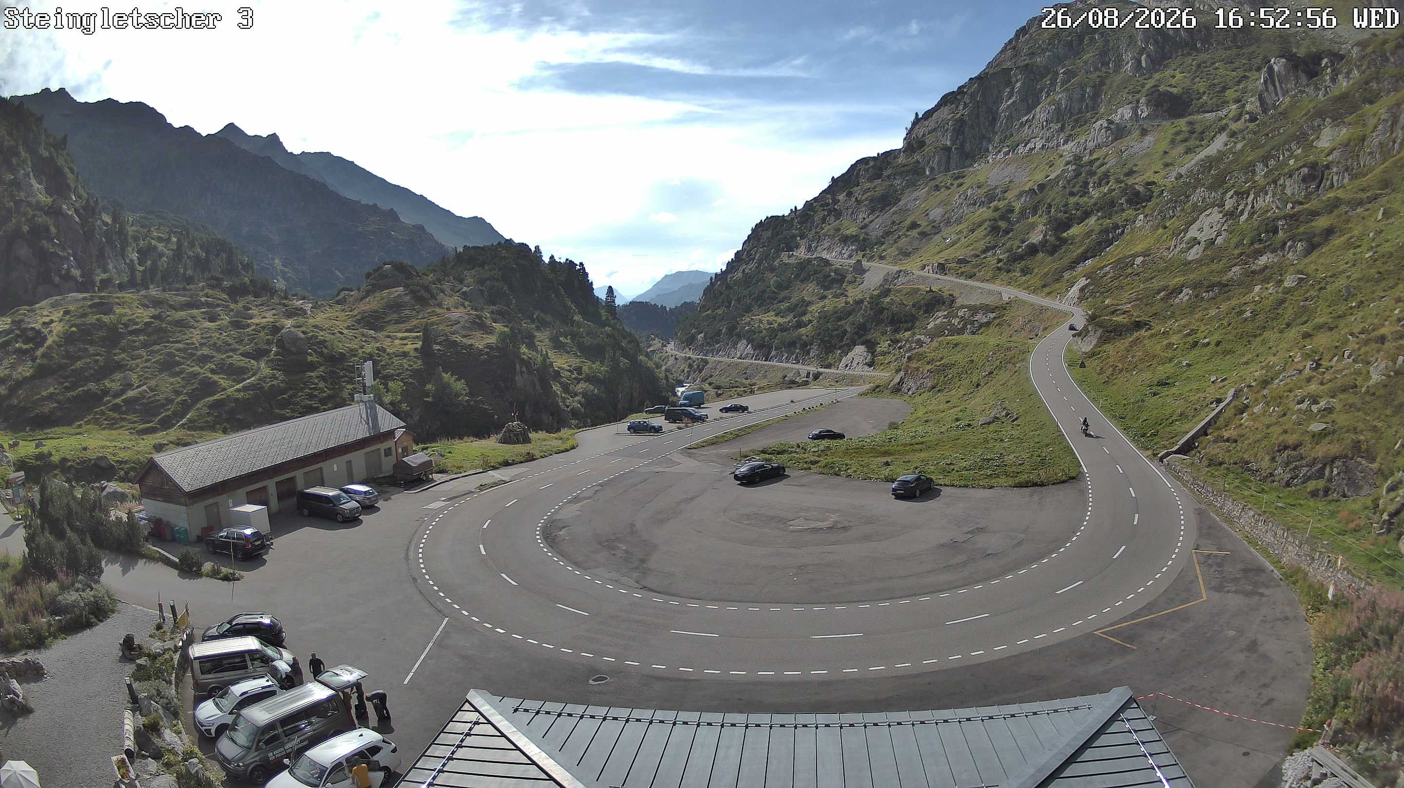
Webcams near Piz Blas
History around Piz Blas
Towns near Piz Blas
- Locarno46 km away
- Bellinzona48 km away
- Schwyz50 km away
- Kriens61 km away
- Domodossola61 km away
- Einsiedeln61 km away