Piz Blas
3 019 m9 905 ft
Montagne · Alpes lépontines · Suisse
Piz Blas is a mountain in the Lepontine Alps, located on the border between the cantons of Graubünden and Ticino. At 3,019 metres above sea level, Piz Blas is the highest mountain of Val Cadlimo (Ticino), a valley drained by the Reno da Medel, a tributary of the Rhine.
Source : Wikipedia, CC BY-SA · Lire l’article
Au sommet · prévision pour 21:00
-3 °CPlutôt dégagé · vent 5 km/h du NO
 Voir en 3D
Météo au sommet : Piz Blas, 3 019 m
- 21:00-3 °CNO 5 km/h–
- 0:00-6 °CNO 8 km/h–
- 3:00-6 °CN 8 km/h0,1 mm
- 6:00-4 °CN 7 km/h–
- 9:00-2 °CN 8 km/h–
- 12:000 °CN 9 km/h–
- 15:00-1 °CN 10 km/h–
- 18:00-3 °CN 7 km/h–
| Jour | Ciel | Max. / min. | Pluie | Vent jusqu’à |
|---|---|---|---|---|
| mer. 28 oct. | Nuageux | 0 °C / -6 °C | 0,1 mm | 10 km/h |
| jeu. 29 oct. | Dégagé | 3 °C / -11 °C | – | 7 km/h |
| ven. 30 oct. | Dégagé | 1 °C / -12 °C | – | 6 km/h |
| sam. 31 oct. | Dégagé | 2 °C / -10 °C | – | 4 km/h |
| dim. 1 nov. | Dégagé | 2 °C / -12 °C | – | 8 km/h |
| lun. 2 nov. | Dégagé | -1 °C / -9 °C | – | 12 km/h |
| mar. 3 nov. | Partiellement nuageux | -1 °C / -11 °C | – | 12 km/h |
Prévisions de MET Norway (CC BY 4.0), mises à jour à 20:17 UTC+1. Heures locales.
Fiche technique
- Type
- Montagne
- Altitude
- 3 019 m (9 905 ft)
- Proéminence
- 312 m (1 024 ft)
- Isolement
- à 5,9 km d’un terrain plus haut
- Massif
- Alpes lépontines
- Sommet parent
- Piz Gannaretsch
- Pays
- Suisse
- Coordonnées
- 46.577°N 8.728°E
- Source
- Wikidata, CC0
Piz Blas
Mountain in Switzerland
Piz Blas is a mountain in the Lepontine Alps, located on the border between the cantons of Graubünden and Ticino. At 3,019 metres above sea level, Piz Blas is the highest mountain of Val Cadlimo (Ticino), a valley drained by the Reno da Medel, a tributary of the Rhine. On its northern side (Graubünden), it overlooks the valleys of Lake Curnera and Lake Nalps, both drained by tributaries of the Rhine.
Source : Wikipedia, CC BY-SA · Lire l’article
Sommets près de Piz Blas
- Scopi3 190 m · à 7,8 kmSur la carte
- Piz Medel3 210 m · à 15 kmSur la carte
- Witenwasserenstock3 085 m · à 20 kmSur la carte
- Pizzo Rotondo3 192 m · à 21 kmSur la carte
- Galenstock3 586 m · à 24 kmSur la carte
- Dammastock3 630 m · à 25 kmSur la carte
- Rheinwaldhorn3 402 m · à 26 kmSur la carte
- Monte Basòdino3 272 m · à 27 kmSur la carte
- Hinter Tierberg3 445 m · à 28 kmSur la carte
- Tödi3 612 m · à 30 kmSur la carte
Sommet parent
Le sommet plus haut le plus proche, auquel se mesure sa proéminence.
- Piz Gannaretsch3 040 mSur la carte
Sommets sous Piz Blas
- Piz Rondadura3 016 mSur la carte
- Piz Ravetsch3 007 mSur la carte
- Piz Denter2 956 mSur la carte
Les plus hauts : Alpes lépontines
- Monte Leone3 553 mSur la carte
- Blinnenhorn3 374 mSur la carte
- Helsenhorn3 272 mSur la carte
- Monte Cervandone3 211 mSur la carte
- Chüebodenhorn3 070 mSur la carte
- Pizzo Gallina3 061 mSur la carte
- Piz Blas3 019 mSur la carte
- Pizzo Centrale2 999 mSur la carte
- Grieshorn2 969 mSur la carte
Plus hautes montagnes : Suisse
- pointe Dufour4 634 mSur la carte
- Dom4 546 mSur la carte
- Liskamm4 532 mSur la carte
- Weisshorn4 505 mSur la carte
- Cervin4 478 mSur la carte
- dent Blanche4 357 mSur la carte
- Grand Combin4 309 mSur la carte
- Finsteraarhorn4 274 mSur la carte
- Zinalrothorn4 221 mSur la carte
- Alphubel4 206 mSur la carte
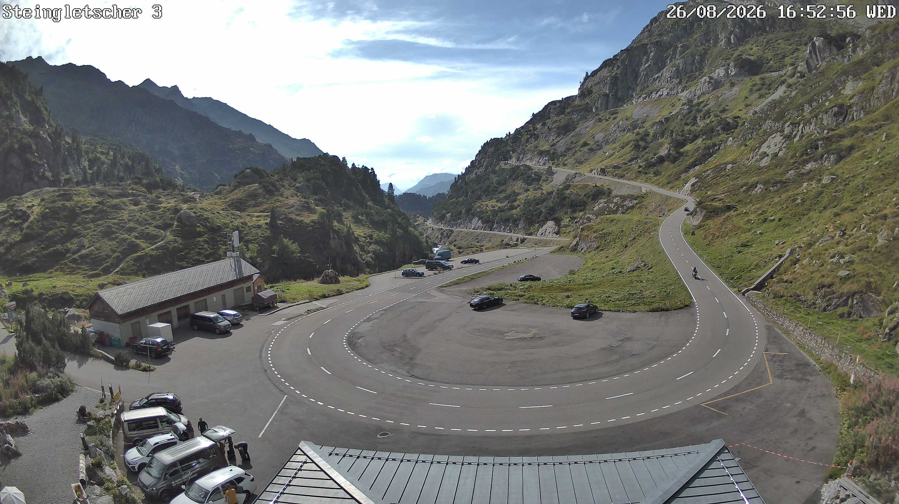
Webcams près de Piz Blas
Histoire autour de Piz Blas
Villes près de Piz Blas
- Locarnoà 46 km
- Bellinzoneà 48 km
- Schwyzà 50 km
- Kriensà 61 km
- Domodossolaà 61 km
- Einsiedelnà 61 km