Mountains in Switzerland
Witenwasserenstock
3,085 m10,121 ft
Mountain · Lepontine Alps · Switzerland
The Witenwasserenstock is a peak between the Swiss cantons of Valais and Uri, located in the Lepontine Alps. Close to the summit lies the tripoint border between the cantons of Valais, Uri and Ticino and the triple watershed of the Rhine, Po and Rhône basins.
From Wikipedia, CC BY-SA · Read the article
At the summit · forecast for 5:00 PM
1 °CClear · wind 4 km/h from the NW
 See it in 3D
Weather at the summit of Witenwasserenstock, 3,085 m
- 5:00 PM1 °CNW 4 km/h–
- 8:00 PM-6 °CNW 7 km/h–
- 11:00 PM-8 °CNW 8 km/h–
- 2:00 AM-7 °CNW 8 km/h–
- 5:00 AM-5 °CNW 8 km/h–
- 8:00 AM-4 °CN 7 km/h–
- 11:00 AM-1 °CN 9 km/h–
- 2:00 PM-1 °CN 10 km/h–
| Day | Sky | High / low | Rain | Wind up to |
|---|---|---|---|---|
| Wed, Oct 28 | Partly cloudy | -0 °C / -8 °C | – | 10 km/h |
| Thu, Oct 29 | Clear | 1 °C / -9 °C | – | 6 km/h |
| Fri, Oct 30 | Clear | 1 °C / -9 °C | – | 5 km/h |
| Sat, Oct 31 | Clear | 1 °C / -9 °C | – | 5 km/h |
| Sun, Nov 1 | Clear | 2 °C / -10 °C | – | 10 km/h |
| Mon, Nov 2 | Clear | -1 °C / -8 °C | – | 12 km/h |
| Tue, Nov 3 | Partly cloudy | -1 °C / -9 °C | – | 12 km/h |
Forecast by MET Norway (CC BY 4.0), updated 02:17 PM GMT+1. Times are local.
Facts
- What it is
- Mountain
- Height above sea level
- 3,085 m (10,121 ft)
- Prominence
- 118 m (387 ft)
- Isolation
- 0.4 km to higher ground
- Range
- Lepontine Alps
- Parent peak
- Pizzo Pesciora
- Country
- Switzerland
- Coordinates
- 46.528°N 8.475°E
- Source
- Wikidata, CC0
Peaks near Witenwasserenstock
- Galenstock3,586 m · 10 km awayOn the map
- Basòdino3,272 m · 13 km awayOn the map
- Dammastock3,630 m · 13 km awayOn the map
- Blinnenhorn3,374 m · 17 km awayOn the map
- Oberaarhorn3,631 m · 23 km awayOn the map
- Finsteraarhorn4,274 m · 27 km awayOn the map
- Lauteraarhorn4,042 m · 27 km awayOn the map
- Titlis3,238 m · 27 km awayOn the map
- Agassizhorn3,947 m · 28 km awayOn the map
- Schreckhorn4,078 m · 28 km awayOn the map
Parent peak
The nearest higher peak its prominence is measured to.
- Pizzo Pesciora3,120 mOn the map
Highest in the Lepontine Alps
- Monte Leone3,553 mOn the map
- Blinnenhorn3,374 mOn the map
- Helsenhorn3,272 mOn the map
- Scherbadung3,211 mOn the map
- Witenwasserenstock3,085 mOn the map
- Chüebodenhorn3,070 mOn the map
- Pizzo Gallina3,061 mOn the map
- Piz Blas3,019 mOn the map
- Pizzo Centrale2,999 mOn the map
Highest mountains in Switzerland
- Dufourspitze4,634 mOn the map
- Dom4,546 mOn the map
- Lyskamm4,532 mOn the map
- Weisshorn4,505 mOn the map
- Matterhorn4,478 mOn the map
- Dent Blanche4,357 mOn the map
- Grand Combin4,309 mOn the map
- Finsteraarhorn4,274 mOn the map
- Zinalrothorn4,221 mOn the map
- Alphubel4,206 mOn the map
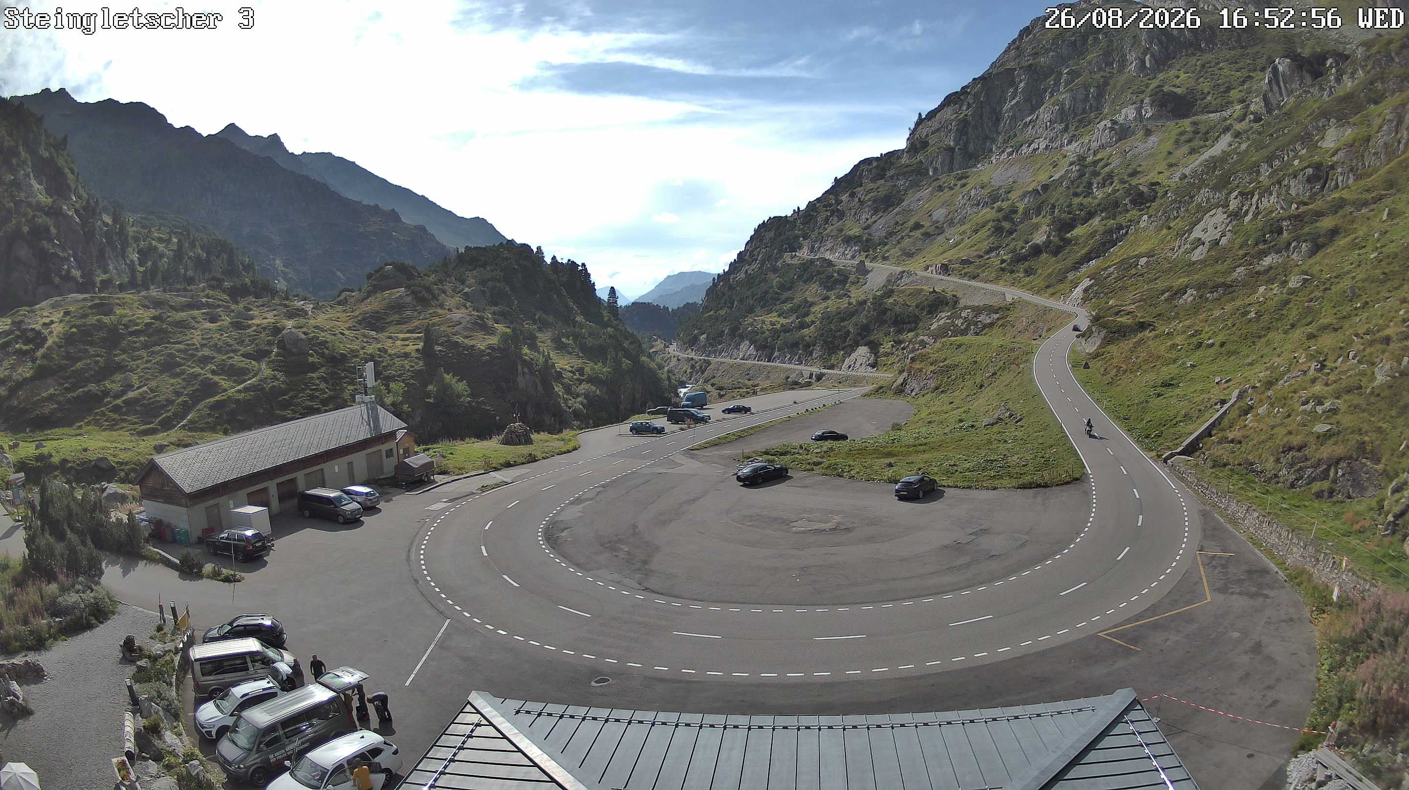
Webcams near Witenwasserenstock
History around Witenwasserenstock
- The Rhineland massacres: Members of the People's Crusade led by Count Emicho destroy most of the Jewish communities along the Rhine in a series of large…1096
- Göschenen riots1875
- Battle of Gotthard Pass1799
- Battle of Ulrichen1211
- Battle of Devil's Bridge1799
- Battle of Oberwald1799
- Battle of Ulrichen1419
- Second Battle of Ulrichen1419
Towns near Witenwasserenstock
- Locarno47 km away
- Domodossola48 km away
- Bellinzona56 km away
- Schwyz56 km away
- Kriens58 km away
- Luzern59 km away