Ritterkopf
3006 m9862 ft
Montaña · Grupo Goldberg · Austria
The Ritterkopf is a prominent mountain in Rauris, about 3 km north of the main chain of the Tauern Alps in Austria, and separates the valleys of Krumltal and Hüttwinkltal. On the mountainsides there are the sites of mineral deposits, some of which are tourist attractions.
De Wikipedia, CC BY-SA · Leer el artículo
En la cumbre · pronóstico para las 21:00
-6 °CMayormente despejado · viento de 5 km/h del S
 Verla en 3D
Clima en la cumbre de Ritterkopf, 3006 m
- 21:00-6 °CS 5 km/h–
- 0:00-6 °CSO 4 km/h–
- 3:00-7 °CSO 4 km/h–
- 6:00-9 °CO 4 km/h–
- 9:00-4 °CNO 4 km/h–
- 12:00-2 °CN 10 km/h0,2 mm
- 15:00-3 °CN 8 km/h1 mm
- 18:00-4 °CN 5 km/h0,7 mm
| Día | Cielo | Máx. / mín. | Lluvia | Viento hasta |
|---|---|---|---|---|
| mié, 28 oct | Nublado | -2 °C / -9 °C | 2,5 mm | 10 km/h |
| jue, 29 oct | Parcialmente nublado | -4 °C / -11 °C | 0,3 mm | 8 km/h |
| vie, 30 oct | Despejado | -4 °C / -13 °C | – | 6 km/h |
| sáb, 31 oct | Despejado | -3 °C / -11 °C | – | 5 km/h |
| dom, 1 nov | Mayormente despejado | -5 °C / -13 °C | – | 8 km/h |
| lun, 2 nov | Mayormente despejado | -6 °C / -13 °C | 1,2 mm | 12 km/h |
| mar, 3 nov | Nieve | -9 °C / -10 °C | 7,7 mm | 14 km/h |
Pronóstico de MET Norway (CC BY 4.0), actualizado a las 20:17 CET. Horas locales.
Ficha técnica
- Tipo
- Montaña
- Altitud sobre el nivel del mar
- 3006 m (9862 ft)
- Prominencia
- 349 m (1145 ft)
- Cordillera
- Grupo Goldberg
- País
- Austria
- Coordenadas
- 47.103°N 12.949°E
- Fuente
- Wikidata, CC0
Ritterkopf
The Ritterkopf is a prominent mountain in Rauris, about 3 km north of the main chain of the Tauern Alps in Austria, and separates the valleys of Krumltal and Hüttwinkltal. On the mountainsides there are the sites of mineral deposits, some of which are tourist attractions. In the Ritterkar cirque gold was mined in the 16th century.
De Wikipedia, CC BY-SA · Leer el artículo
Picos cerca de Ritterkopf
- Hocharn3254 m · a 3,1 kmEn el mapa
- Großes Wiesbachhorn3564 m · a 16 kmEn el mapa
- Hoher Tenn3368 m · a 17 kmEn el mapa
- Grossglockner3798 m · a 20 kmEn el mapa
- Glocknerwand3721 m · a 20 kmEn el mapa
- Petzeck3283 m · a 20 kmEn el mapa
- Johannisberg3453 m · a 21 kmEn el mapa
- Kitzsteinhorn3203 m · a 22 kmEn el mapa
- Ankogel3252 m · a 23 kmEn el mapa
- Großer Muntanitz3232 m · a 27 kmEn el mapa
Los más altos de Grupo Goldberg
- Hocharn3254 mEn el mapa
- Schareck3123 mEn el mapa
- Hoher Sonnblick3106 mEn el mapa
- Krumlkeeskopf3101 mEn el mapa
- Sandkopf3090 mEn el mapa
- Ritterkopf3006 mEn el mapa
- Vorderer Geißlkopf2974 mEn el mapa
- Alteck2942 mEn el mapa
- Stellkopf2852 mEn el mapa
Montañas más altas de Austria
- Grossglockner3798 mEn el mapa
- Wildspitze3768 mEn el mapa
- Weißkugel3738 mEn el mapa
- Großvenediger3657 mEn el mapa
- Hintere Schwärze3624 mEn el mapa
- Großes Wiesbachhorn3564 mEn el mapa
- Ramolkogel3549 mEn el mapa
- Schalfkogel3537 mEn el mapa
- Watzespitze3532 mEn el mapa
- Fineilspitze3514 mEn el mapa
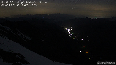
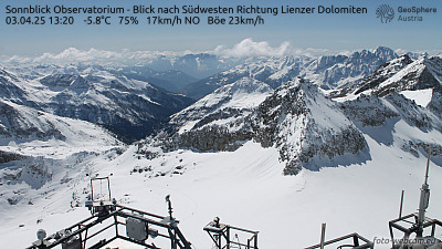
Cámaras web cerca de Ritterkopf

Historia alrededor de Ritterkopf
Ciudades cerca de Ritterkopf
- Saalfelden am Steinernen Meera 37 km
- Bad Reichenhalla 70 km
- Salzburga 78 km