Ritterkopf
3,006 m9,862 ft
Mountain · Goldberg Group · Austria
The Ritterkopf is a prominent mountain in Rauris, about 3 km north of the main chain of the Tauern Alps in Austria, and separates the valleys of Krumltal and Hüttwinkltal. On the mountainsides there are the sites of mineral deposits, some of which are tourist attractions.
From Wikipedia, CC BY-SA · Read the article
At the summit · forecast for 4:00 PM
-2 °CMostly clear · wind 3 km/h from the S
 See it in 3D
Weather at the summit of Ritterkopf, 3,006 m
- 4:00 PM-2 °CS 3 km/h–
- 7:00 PM-6 °CSW 4 km/h–
- 10:00 PM-7 °CSW 5 km/h–
- 1:00 AM-7 °CS 4 km/h–
- 4:00 AM-8 °CW 4 km/h–
- 7:00 AM-8 °CW 4 km/h–
- 10:00 AM-3 °CN 5 km/h–
- 1:00 PM-2 °CN 8 km/h1 mm
| Day | Sky | High / low | Rain | Wind up to |
|---|---|---|---|---|
| Wed, Oct 28 | Light snow | -2 °C / -8 °C | 4.9 mm | 8 km/h |
| Thu, Oct 29 | Partly cloudy | -5 °C / -10 °C | – | 9 km/h |
| Fri, Oct 30 | Clear | -3 °C / -13 °C | – | 3 km/h |
| Sat, Oct 31 | Clear | -0 °C / -11 °C | – | 3 km/h |
| Sun, Nov 1 | Clear | -0 °C / -9 °C | – | 5 km/h |
| Mon, Nov 2 | Mostly clear | -4 °C / -11 °C | – | 6 km/h |
| Tue, Nov 3 | Cloudy | -4 °C / -10 °C | – | 9 km/h |
Forecast by MET Norway (CC BY 4.0), updated 02:17 AM GMT+1. Times are local.
Facts
- What it is
- Mountain
- Height above sea level
- 3,006 m (9,862 ft)
- Prominence
- 349 m (1,145 ft)
- Range
- Goldberg Group
- Country
- Austria
- Coordinates
- 47.103°N 12.949°E
- Source
- Wikidata, CC0
Ritterkopf
The Ritterkopf is a prominent mountain in Rauris, about 3 km north of the main chain of the Tauern Alps in Austria, and separates the valleys of Krumltal and Hüttwinkltal. On the mountainsides there are the sites of mineral deposits, some of which are tourist attractions. In the Ritterkar cirque gold was mined in the 16th century.
From Wikipedia, CC BY-SA · Read the article
Peaks near Ritterkopf
- Hocharn3,254 m · 3.1 km awayOn the map
- Großes Wiesbachhorn3,564 m · 16 km awayOn the map
- Hoher Tenn3,368 m · 17 km awayOn the map
- Grossglockner3,798 m · 20 km awayOn the map
- Glocknerwand3,721 m · 20 km awayOn the map
- Petzeck3,283 m · 20 km awayOn the map
- Johannisberg3,453 m · 21 km awayOn the map
- Kitzsteinhorn3,203 m · 22 km awayOn the map
- Ankogel3,252 m · 23 km awayOn the map
- Großer Muntanitz3,232 m · 27 km awayOn the map
Highest in the Goldberg Group
- Hocharn3,254 mOn the map
- Schareck3,123 mOn the map
- Hoher Sonnblick3,106 mOn the map
- Krumlkeeskopf3,101 mOn the map
- Sandkopf3,090 mOn the map
- Ritterkopf3,006 mOn the map
- Vorderer Geißlkopf2,974 mOn the map
- Alteck2,942 mOn the map
- Stellkopf2,852 mOn the map
Highest mountains in Austria
- Grossglockner3,798 mOn the map
- Wildspitze3,768 mOn the map
- Weißkugel3,738 mOn the map
- Großvenediger3,657 mOn the map
- Hintere Schwärze3,624 mOn the map
- Großes Wiesbachhorn3,564 mOn the map
- Ramolkogel3,549 mOn the map
- Schalfkogel3,537 mOn the map
- Watzespitze3,532 mOn the map
- Fineilspitze3,514 mOn the map
Webcams near Ritterkopf

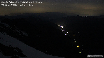
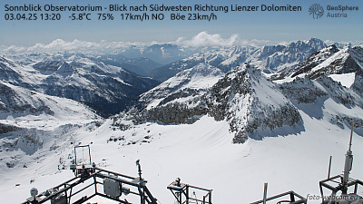
History around Ritterkopf
Towns near Ritterkopf
- Saalfelden am Steinernen Meer37 km away
- Bad Reichenhall70 km away
- Salzburg78 km away