Mountains in Austria
Petzeck
3,283 m10,771 ft
Mountain · Schober group · Austria
Petzeck (3,283m) is the highest mountain of the Schober Group in the High Tauern range, Austria. The mountain has a 1,000m high north face but its southern slope is more gentle, with lakes such as Kreuzsee and Wangenitzsee on its slopes. Its south western slope is glaciated.
From Wikipedia, CC BY-SA · Read the article
The highest point of Schober group
At the summit · forecast for 3:00 PM
0 °CClear · wind 3 km/h from the SE
 See it in 3D
Weather at the summit of Petzeck, 3,283 m
- 3:00 PM0 °CSE 3 km/h–
- 6:00 PM-5 °CNE 4 km/h–
- 9:00 PM-7 °CN 5 km/h–
- 12:00 AM-7 °CN 5 km/h–
- 3:00 AM-7 °CN 6 km/h–
- 6:00 AM-8 °CN 6 km/h–
- 9:00 AM-4 °CN 5 km/h–
- 12:00 PM-1 °CNW 5 km/h–
| Day | Sky | High / low | Rain | Wind up to |
|---|---|---|---|---|
| Wed, Oct 28 | Cloudy | -1 °C / -9 °C | 0.6 mm | 6 km/h |
| Thu, Oct 29 | Clear | -2 °C / -14 °C | – | 8 km/h |
| Fri, Oct 30 | Clear | -2 °C / -13 °C | – | 5 km/h |
| Sat, Oct 31 | Mostly clear | -2 °C / -11 °C | – | 4 km/h |
| Sun, Nov 1 | Clear | -1 °C / -10 °C | – | 4 km/h |
| Mon, Nov 2 | Clear | -2 °C / -11 °C | – | 6 km/h |
| Tue, Nov 3 | Mostly clear | -2 °C / -11 °C | – | 5 km/h |
Forecast by MET Norway (CC BY 4.0), updated 10:21 AM GMT+1. Times are local.
Facts
- What it is
- Mountain
- Height above sea level
- 3,283 m (10,771 ft)
- Prominence
- 799 m (2,621 ft)
- Isolation
- 15 km to higher ground
- Range
- Schober group
- Country
- Austria
- Highest point of
- Schober group
- Coordinates
- 46.948°N 12.804°E
- Source
- Wikidata, CC0
Peaks near Petzeck
- Grossglockner3,798 m · 16 km awayOn the map
- Glocknerwand3,721 m · 17 km awayOn the map
- Hocharn3,254 m · 17 km awayOn the map
- Große Sandspitze2,770 m · 20 km awayOn the map
- Johannisberg3,453 m · 20 km awayOn the map
- Großer Muntanitz3,232 m · 21 km awayOn the map
- Großes Wiesbachhorn3,564 m · 23 km awayOn the map
- Hoher Tenn3,368 m · 26 km awayOn the map
- Kitzsteinhorn3,203 m · 28 km awayOn the map
- Weiße Spitze2,962 m · 35 km awayOn the map
Highest in the Schober group
- Petzeck3,283 mOn the map
- Roter Knopf3,281 mOn the map
- Hochschober3,242 mOn the map
- Glödis3,206 mOn the map
- Großer Friedrichskopf3,134 mOn the map
- Karlkamp3,114 mOn the map
Highest mountains in Austria
- Grossglockner3,798 mOn the map
- Wildspitze3,768 mOn the map
- Weißkugel3,738 mOn the map
- Großvenediger3,657 mOn the map
- Hintere Schwärze3,624 mOn the map
- Großes Wiesbachhorn3,564 mOn the map
- Ramolkogel3,549 mOn the map
- Schalfkogel3,537 mOn the map
- Watzespitze3,532 mOn the map
- Fineilspitze3,514 mOn the map
Webcams near Petzeck
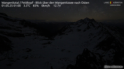 Wangenitztal / Feldkopf - Blick über den Wangenitzsee nach Osten2.4 km from the summit
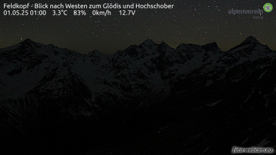 Feldkopf - Blick nach Westen zum Glödis und Hochschober2.4 km from the summit
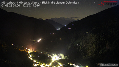 Mörtschach / Mörtschachberg - Blick in die Lienzer Dolomiten8.8 km from the summit
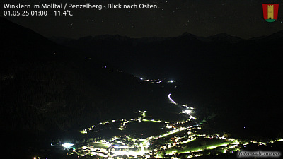 Winklern im Mölltal / Penzelberg - Blick nach Osten9.5 km from the summit
Towns near Petzeck
- Saalfelden am Steinernen Meer53 km away