Mountains in Austria
Glödis
3,206 m10,518 ft
Mountain · Schober group · Austria
The Glödis is one of the most regularly formed summits in the Schober Group in East Tyrol, hence its sobriquet, the "Matterhorn of the Schober Group". It is an impressive sight both from the Debanttal valley and the valley of Kalser Lesachtal.
From Wikipedia, CC BY-SA · Read the article
At the summit · forecast for 12:00 AM
-9 °CClear · wind 5 km/h from the N
 See it in 3D
Weather at the summit of Glödis, 3,206 m
- 12:00 AM-9 °CN 5 km/h–
- 3:00 AM-8 °CN 5 km/h–
- 6:00 AM-5 °CN 5 km/h–
- 9:00 AM-3 °CN 4 km/h–
- 12:00 PM-1 °CN 4 km/h–
- 3:00 PM-1 °CN 3 km/h–
- 6:00 PM-5 °CN 4 km/h–
- 9:00 PM-5 °CN 5 km/h–
| Day | Sky | High / low | Rain | Wind up to |
|---|---|---|---|---|
| Tue, Oct 27 | Clear | -1 °C / -9 °C | – | 5 km/h |
| Wed, Oct 28 | Light snow | -3 °C / -8 °C | 1.1 mm | 9 km/h |
| Thu, Oct 29 | Clear | -5 °C / -11 °C | – | 9 km/h |
| Fri, Oct 30 | Clear | -3 °C / -11 °C | – | 6 km/h |
| Sat, Oct 31 | Clear | -4 °C / -11 °C | – | 9 km/h |
| Sun, Nov 1 | Clear | -5 °C / -12 °C | – | 7 km/h |
| Mon, Nov 2 | Light snow | -8 °C / -13 °C | 0.7 mm | 9 km/h |
Forecast by MET Norway (CC BY 4.0), updated 08:16 PM GMT+1. Times are local.
Facts
- What it is
- Mountain
- Height above sea level
- 3,206 m (10,518 ft)
- Prominence
- 376 m (1,234 ft)
- Isolation
- 1.9 km to higher ground
- Range
- Schober group
- Country
- Austria
- First ascent
- July 13, 1871
- Coordinates
- 46.961°N 12.726°E
- Source
- Wikidata, CC0
Peaks near Glödis
- Petzeck3,283 m · 6.1 km awayOn the map
- Grossglockner3,798 m · 13 km awayOn the map
- Glocknerwand3,721 m · 13 km awayOn the map
- Großer Muntanitz3,232 m · 16 km awayOn the map
- Johannisberg3,453 m · 17 km awayOn the map
- Hocharn3,254 m · 21 km awayOn the map
- Großes Wiesbachhorn3,564 m · 22 km awayOn the map
- Große Sandspitze2,770 m · 23 km awayOn the map
- Hoher Tenn3,368 m · 24 km awayOn the map
- Kitzsteinhorn3,203 m · 25 km awayOn the map
Highest in the Schober group
- Petzeck3,283 mOn the map
- Roter Knopf3,281 mOn the map
- Hochschober3,242 mOn the map
- Glödis3,206 mOn the map
- Großer Friedrichskopf3,134 mOn the map
- Karlkamp3,114 mOn the map
Highest mountains in Austria
- Grossglockner3,798 mOn the map
- Wildspitze3,768 mOn the map
- Weißkugel3,738 mOn the map
- Großvenediger3,657 mOn the map
- Hintere Schwärze3,624 mOn the map
- Großes Wiesbachhorn3,564 mOn the map
- Ramolkogel3,549 mOn the map
- Schalfkogel3,537 mOn the map
- Watzespitze3,532 mOn the map
- Fineilspitze3,514 mOn the map
Webcams near Glödis
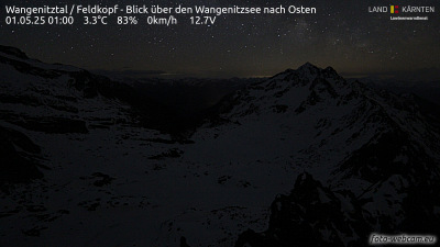
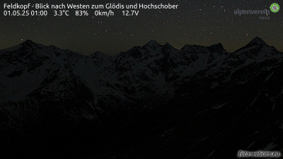
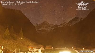
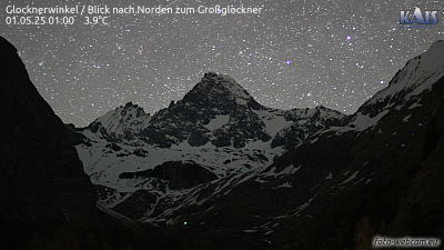
Towns near Glödis
- Saalfelden am Steinernen Meer53 km away