Roßberg
1125 m3691 ft
Montaña · Selva Negra · Alemania
The Roßberg is a mountain, 1,124.7 m above sea level (NHN), in the Black Forest immediately north of Breitnau in the German state of Baden-Württemberg. Hinterzarten, Titisee-Neustadt and St. Märgen are also nearby.
De Wikipedia, CC BY-SA · Leer el artículo
En la cumbre · pronóstico para las 4:00
4 °CDespejado · viento de 6 km/h del S
 Verla en 3D
Clima en la cumbre de Roßberg, 1125 m
- 4:004 °CS 6 km/h–
- 7:004 °CS 5 km/h–
- 10:0013 °CSO 6 km/h–
- 13:0017 °CSO 8 km/h–
- 16:0014 °CO 9 km/h–
- 19:008 °CSO 10 km/h–
- 22:008 °CSO 14 km/h–
- 1:008 °CSO 15 km/h1,3 mm
| Día | Cielo | Máx. / mín. | Lluvia | Viento hasta |
|---|---|---|---|---|
| Hoy | Despejado | 17 °C / 4 °C | – | 15 km/h |
| mié, 28 oct | Despejado | 8 °C / 2 °C | 2,2 mm | 17 km/h |
| jue, 29 oct | Despejado | 9 °C / 1 °C | – | 14 km/h |
| vie, 30 oct | Despejado | 9 °C / 1 °C | – | 12 km/h |
| sáb, 31 oct | Despejado | 9 °C / 0 °C | – | 9 km/h |
| dom, 1 nov | Despejado | 10 °C / 1 °C | – | 5 km/h |
| lun, 2 nov | Despejado | 8 °C / 0 °C | – | 14 km/h |
Pronóstico de MET Norway (CC BY 4.0), actualizado a las 00:19 CET. Horas locales.
Ficha técnica
- Tipo
- Montaña
- Altitud sobre el nivel del mar
- 1125 m (3691 ft)
- Cordillera
- Selva Negra
- País
- Alemania
- Coordenadas
- 47.945°N 8.078°E
- Fuente
- Wikidata, CC0
Roßberg (Black Forest)
The Roßberg is a mountain, 1,124.7 m above sea level (NHN), in the Black Forest immediately north of Breitnau in the German state of Baden-Württemberg. Hinterzarten, Titisee-Neustadt and St. Märgen are also nearby. On the same ridge just over 1 km to the west is the Hohwart and 2 km to the east, across the Oberbach valley, is the highest mountain in Breitnau municipality: the Weißtannenhöhe.
De Wikipedia, CC BY-SA · Leer el artículo
Picos cerca de Roßberg
- Weißtannenhöhe1191 m · a 3 kmEn el mapa
- Toter Mann1322 m · a 8,7 kmEn el mapa
- Baldenweger Buck1461 m · a 8,9 kmEn el mapa
- Hochfirst1190 m · a 9,3 kmEn el mapa
- Feldberg1494 m · a 9,6 kmEn el mapa
- Seebuck1449 m · a 9,9 kmEn el mapa
- Stübenwasen1389 m · a 12 kmEn el mapa
- Herzogenhorn1416 m · a 13 kmEn el mapa
- Spießhorn1351 m · a 13 kmEn el mapa
- Silberberg1359 m · a 13 kmEn el mapa
Los más altos de Selva Negra
- Feldberg1494 mEn el mapa
- Belchen1414 mEn el mapa
- Stübenwasen1389 mEn el mapa
- Schauinsland1284 mEn el mapa
- Hochkopf1263 mEn el mapa
- Brenntkopf1246 mEn el mapa
- Kandel1241 mEn el mapa
- Hinterwaldkopf1199 mEn el mapa
- Roßberg1125 mEn el mapa
Montañas más altas de Alemania
- Zugspitze2962 mEn el mapa
- Hochwanner2744 mEn el mapa
- Dreitorspitze2682 mEn el mapa
- Hochkalter2607 mEn el mapa
- Biberkopf2599 mEn el mapa
- Großer Hundstod2594 mEn el mapa
- Hochvogel2592 mEn el mapa
- Östliche Karwendelspitze2538 mEn el mapa
- Hocheisspitze2523 mEn el mapa
- Hoher Göll2522 mEn el mapa
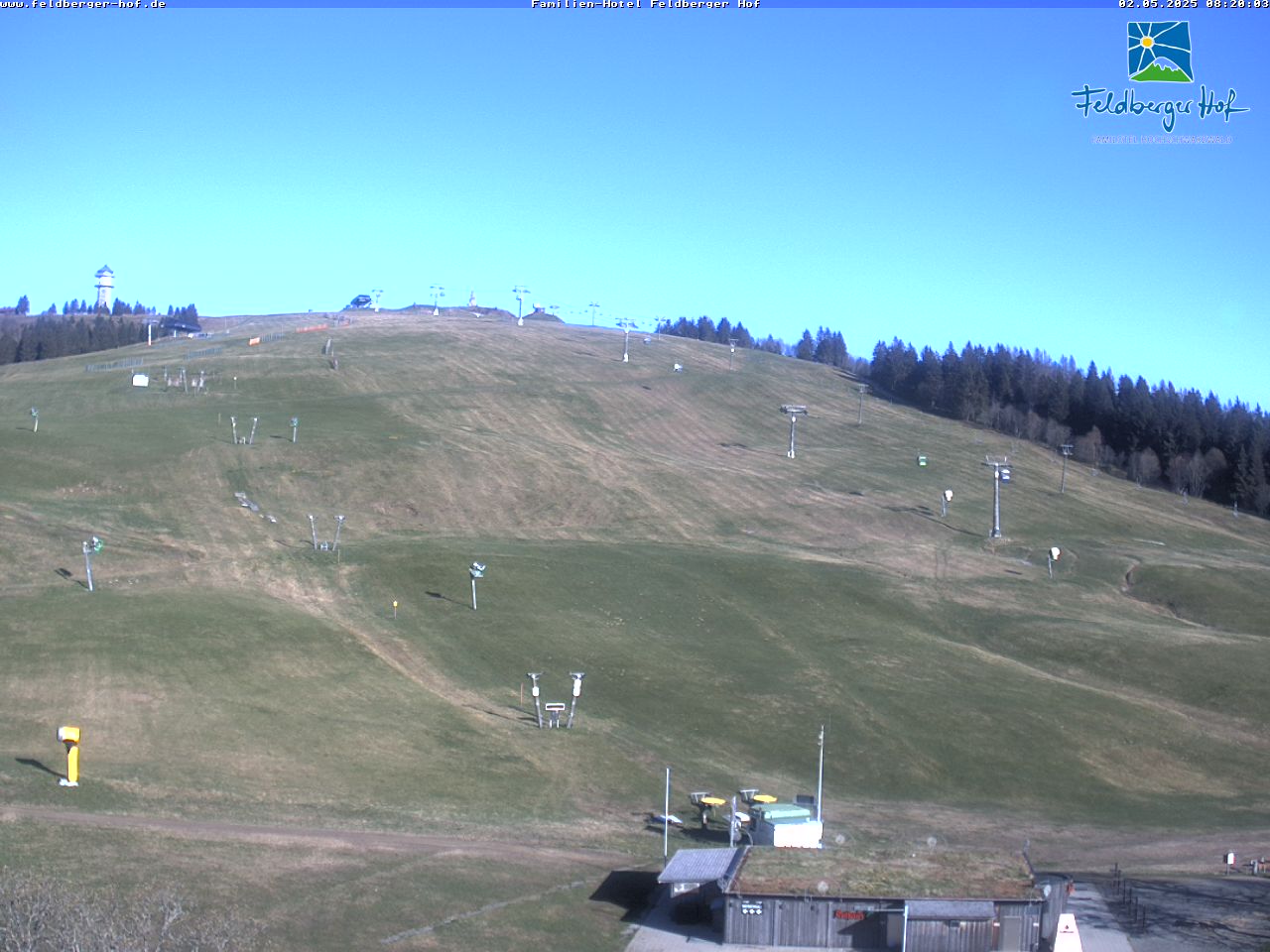
Cámaras web cerca de Roßberg



Historia alrededor de Roßberg
Ciudades cerca de Roßberg
- Friburgo de Brisgoviaa 18 km
- Waldkircha 19 km
- Wassera 26 km
- Donaueschingena 31 km
- Villingen-Schwenningena 34 km
- Müllheima 37 km