Schüsselkarspitze
2551 m8369 ft
Montaña · Montes de Mieming y del Wetterstein · Alemania · Austria
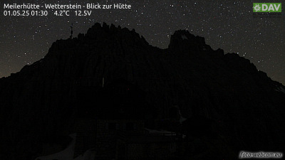
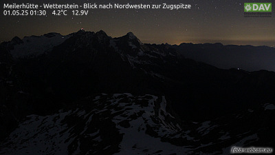
The Schüsselkarspitze is a peak in the eastern Wetterstein Mountains. It is one of the best-known climbing peaks in the Northern Limestone Alps. It has a multitude of challenging climbing routes, especially through the mighty slabs (Plattenfluchten) of the south face.
De Wikipedia, CC BY-SA · Leer el artículo
En la cumbre · pronóstico para las 6:00
-3 °CNublado · viento de 7 km/h del SE
 Verla en 3D
Clima en la cumbre de Schüsselkarspitze, 2551 m
- 6:00-3 °CSE 7 km/h–
- 9:001 °CS 6 km/h–
- 12:007 °CSE 4 km/h–
- 15:009 °CNE 5 km/h–
- 18:002 °CN 1 km/h–
- 21:00-0 °CO 2 km/h–
- 0:00-3 °CSO 3 km/h–
- 3:00-4 °CSO 3 km/h–
| Día | Cielo | Máx. / mín. | Lluvia | Viento hasta |
|---|---|---|---|---|
| Hoy | Despejado | 9 °C / -3 °C | – | 8 km/h |
| mié, 28 oct | Nieve fuerte | 2 °C / -5 °C | 7,7 mm | 8 km/h |
| jue, 29 oct | Despejado | 2 °C / -5 °C | – | 9 km/h |
| vie, 30 oct | Despejado | 3 °C / -9 °C | – | 4 km/h |
| sáb, 31 oct | Despejado | 5 °C / -11 °C | – | 3 km/h |
| dom, 1 nov | Despejado | 5 °C / -11 °C | – | 3 km/h |
| lun, 2 nov | Despejado | 2 °C / -7 °C | – | 5 km/h |
Pronóstico de MET Norway (CC BY 4.0), actualizado a las 02:17 CET. Horas locales.
Ficha técnica
- Tipo
- Montaña
- Altitud sobre el nivel del mar
- 2551 m (8369 ft)
- Cordillera
- Montes de Mieming y del Wetterstein
- Coordenadas
- 47.397°N 11.120°E
- Fuente
- Wikidata, CC0
Schüsselkarspitze
The Schüsselkarspitze is a peak in the eastern Wetterstein Mountains. It is one of the best-known climbing peaks in the Northern Limestone Alps. It has a multitude of challenging climbing routes, especially through the mighty slabs (Plattenfluchten) of the south face. In the vicinity of the summit is a permanent bothy where climbers may take refuge in emergencies.
De Wikipedia, CC BY-SA · Leer el artículo
Picos cerca de Schüsselkarspitze
- Dreitorspitze2682 m · a 0,4 kmEn el mapa
- Hochwanner2744 m · a 4,8 kmEn el mapa
- Alpspitze2628 m · a 6,5 kmEn el mapa
- Zugspitze2962 m · a 10 kmEn el mapa
- Schneefernerkopf2874 m · a 11 kmEn el mapa
- Krottenkopf2086 m · a 17 kmEn el mapa
- Daniel2340 m · a 18 kmEn el mapa
- Nordkette2637 m · a 20 kmEn el mapa
- Birkkarspitze2749 m · a 24 kmEn el mapa
- Bergisel746 m · a 27 kmEn el mapa
Los más altos de Montes de Mieming y del Wetterstein
- Zugspitze2962 mEn el mapa
- Hochwanner2744 mEn el mapa
- Dreitorspitze2682 mEn el mapa
- Hohe Munde2662 mEn el mapa
- Schüsselkarspitze2551 mEn el mapa
- Wannig2493 mEn el mapa
- Tschirgant2370 mEn el mapa
Montañas más altas de Alemania
- Zugspitze2962 mEn el mapa
- Hochwanner2744 mEn el mapa
- Dreitorspitze2682 mEn el mapa
- Hochkalter2607 mEn el mapa
- Biberkopf2599 mEn el mapa
- Großer Hundstod2594 mEn el mapa
- Hochvogel2592 mEn el mapa
- Schüsselkarspitze2551 mEn el mapa
- Östliche Karwendelspitze2538 mEn el mapa
- Hocheisspitze2523 mEn el mapa