Slieve Gullion
573 m1880 ft
Montaña · Reino Unido
Slieve Gullion is a mountain in the south of County Armagh, Northern Ireland. The mountain is the heart of the Ring of Gullion and is the highest point in the county, with an elevation of 573 metres (1,880 ft).
De Wikipedia, CC BY-SA · Leer el artículo
En la cumbre · pronóstico para las 20:00
5 °CParcialmente nublado · viento de 16 mph del SO
 Verla en 3D
Clima en la cumbre de Slieve Gullion, 573 m
- 20:005 °CSO 16 mph–
- 23:005 °CSO 17 mph0,4 mm
- 2:007 °CSO 19 mph1,1 mm
- 5:008 °CSO 17 mph0,4 mm
- 8:008 °CSO 16 mph–
- 11:0010 °CSO 15 mph–
- 14:0011 °CSO 16 mph–
- 17:009 °CSO 9 mph–
| Día | Cielo | Máx. / mín. | Lluvia | Viento hasta |
|---|---|---|---|---|
| mié, 28 oct | Parcialmente nublado | 11 °C / 6 °C | 1,9 mm | 21 mph |
| jue, 29 oct | Parcialmente nublado | 11 °C / 5 °C | – | 17 mph |
| vie, 30 oct | Parcialmente nublado | 11 °C / 8 °C | 7,8 mm | 19 mph |
| sáb, 31 oct | Lluvia | 7 °C / 6 °C | 12,4 mm | 9 mph |
| dom, 1 nov | Despejado | 8 °C / 2 °C | – | 6 mph |
| lun, 2 nov | Mayormente despejado | 8 °C / 2 °C | – | 8 mph |
| mar, 3 nov | Nublado | 7 °C / 2 °C | – | 9 mph |
Pronóstico de MET Norway (CC BY 4.0), actualizado a las 01:17 GMT. Horas locales.
Ficha técnica
- Tipo
- Montaña
- Altitud sobre el nivel del mar
- 573 m (1880 ft)
- Prominencia
- 478 m (1568 ft)
- País
- Reino Unido
- Coordenadas
- 54.133°N 6.433°W
- Fuente
- Wikidata, CC0
Slieve Gullion
Mountain in County Armagh, Northern Ireland
Slieve Gullion is a mountain in the south of County Armagh, Northern Ireland. The mountain is the heart of the Ring of Gullion and is the highest point in the county, with an elevation of 573 metres (1,880 ft). At the summit is a small lake, a trigonometrical post and two ancient burial cairns, one of which is the highest surviving passage grave in Ireland.
De Wikipedia, CC BY-SA · Leer el artículo
Picos cerca de Slieve Gullion
- Sliabh Feá589 m · a 7,5 kmEn el mapa
- Clermont Carn510 m · a 9,4 kmEn el mapa
- Slieve Meelbeg702 m · a 28 kmEn el mapa
- Slieve Meelmore704 m · a 29 kmEn el mapa
- Ben Crom526 m · a 29 kmEn el mapa
- Slieve Muck674 m · a 29 kmEn el mapa
- Slieve Bearnagh727 m · a 29 kmEn el mapa
- Slievelamagan702 m · a 31 kmEn el mapa
- Slieve Commedagh767 m · a 33 kmEn el mapa
- Slieve Donard849 m · a 34 kmEn el mapa
Montañas más altas de Reino Unido
- Pico Nordenskjöld2355 mEn el mapa
- Monte Carse2330 mEn el mapa
- Pico Pan de Azúcar2325 mEn el mapa
- Monte Roots2280 mEn el mapa
- Monte Paterson2195 mEn el mapa
- Pico de la Reina María2062 mEn el mapa
- Monte Baume1910 mEn el mapa
- Monte Macklin1900 mEn el mapa
- Monte Fagerli1880 mEn el mapa
- Monte Brooker1880 mEn el mapa
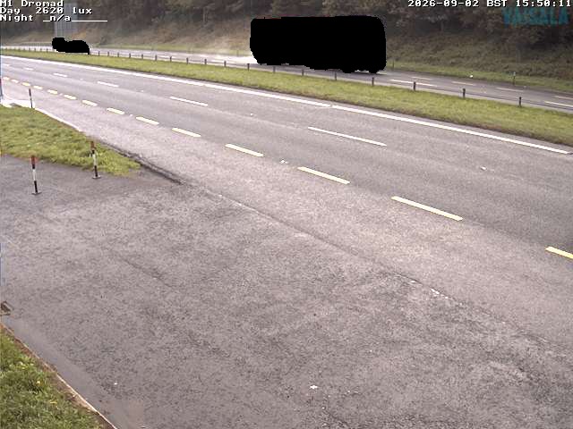
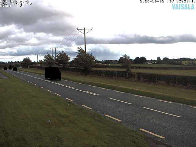
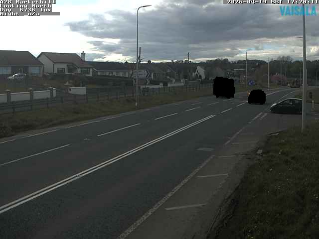
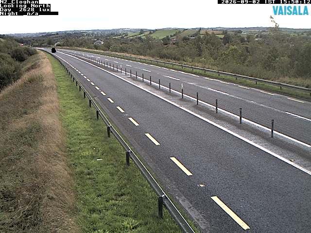
Cámaras web cerca de Slieve Gullion
Historia alrededor de Slieve Gullion
- Battle of Faughart1318
- Battle of Moyry Pass1600
- death of Tony Golden2015
- The Provisional Irish Republican Army carries out a mortar attack on the Royal Ulster Constabulary police station at Newry in Northern Ireland1985
- Kingsmill massacre1976
- Battle of Tragh-Bhaile1399
- Murder of Irene White2005
- 1994 British Army Lynx shootdown1994