古利安山
573 米1,880 英尺
山 · 英国
Slieve Gullion is a mountain in the south of County Armagh, Northern Ireland. The mountain is the heart of the Ring of Gullion and is the highest point in the county, with an elevation of 573 metres (1,880 ft).
来自Wikipedia,CC BY-SA · 阅读文章
山顶 · 23:00 的预报
6 °C阴 · 西南风 19 英里/小时
 3D 查看
古利安山山顶天气,573 米
- 23:006 °C西南 19 英里/小时0.3 mm
- 2:007 °C西南 20 英里/小时0.4 mm
- 5:008 °C西南 15 英里/小时0.2 mm
- 8:008 °C西南 16 英里/小时–
- 11:0010 °C西 16 英里/小时–
- 14:0011 °C西南 15 英里/小时–
- 17:009 °C西南 9 英里/小时–
- 20:007 °C南 9 英里/小时–
| 日期 | 天气 | 最高 / 最低 | 雨 | 最大风速 |
|---|---|---|---|---|
| 10月28日周三 | 多云 | 11 °C / 6 °C | 0.9 mm | 21 英里/小时 |
| 10月29日周四 | 阴 | 10 °C / 6 °C | – | 17 英里/小时 |
| 10月30日周五 | 中雨 | 10 °C / 8 °C | 6.6 mm | 19 英里/小时 |
| 10月31日周六 | 阴 | 10 °C / 8 °C | 1.2 mm | 8 英里/小时 |
| 11月1日周日 | 晴 | 9 °C / 6 °C | 0.3 mm | 11 英里/小时 |
| 11月2日周一 | 阴 | 8 °C / 6 °C | 0.3 mm | 12 英里/小时 |
| 11月3日周二 | 多云 | 9 °C / 7 °C | 0.4 mm | 11 英里/小时 |
预报来自 MET Norway(CC BY 4.0),更新于 GMT 19:17。时间均为当地时间。
基本信息
Slieve Gullion
Mountain in County Armagh, Northern Ireland
Slieve Gullion is a mountain in the south of County Armagh, Northern Ireland. The mountain is the heart of the Ring of Gullion and is the highest point in the county, with an elevation of 573 metres (1,880 ft). At the summit is a small lake, a trigonometrical post and two ancient burial cairns, one of which is the highest surviving passage grave in Ireland.
来自Wikipedia,CC BY-SA · 阅读文章
古利安山附近的山峰
- Slieve Foy589 米 · 7.5 公里外地图上
- 克莱蒙特卡恩山510 米 · 9.4 公里外地图上
- Slieve Meelbeg702 米 · 28 公里外地图上
- Slieve Meelmore704 米 · 29 公里外地图上
- Ben Crom526 米 · 29 公里外地图上
- Slieve Muck674 米 · 29 公里外地图上
- Slieve Bearnagh727 米 · 29 公里外地图上
- Slievelamagan702 米 · 31 公里外地图上
- Slieve Commedagh767 米 · 33 公里外地图上
- 唐納德山849 米 · 34 公里外地图上
英国最高的山
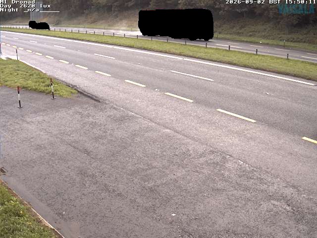
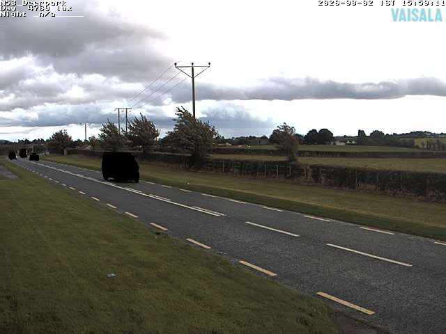
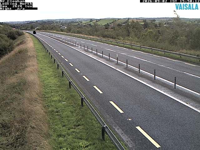
古利安山附近的网络摄像头

古利安山周边的历史
- Battle of Faughart1318
- Battle of Moyry Pass1600
- death of Tony Golden2015
- The Provisional Irish Republican Army carries out a mortar attack on the Royal Ulster Constabulary police station at Newry in Northern Ireland1985
- Kingsmill massacre1976
- Battle of Tragh-Bhaile1399
- Murder of Irene White2005
- 1994 British Army Lynx shootdown1994