Slieve Gullion
573 m1.880 ft
Dağ · Birleşik Krallık
Slieve Gullion is a mountain in the south of County Armagh, Northern Ireland. The mountain is the heart of the Ring of Gullion and is the highest point in the county, with an elevation of 573 metres (1,880 ft).
Kaynak: Wikipedia, CC BY-SA · Makaleyi oku
Zirvede · 5:00 tahmini
5 °CAz bulutlu · rüzgâr GB yönünden 23 mph
 3D olarak gör
Slieve Gullion zirvesinde hava durumu, 573 m
- 5:005 °CGB 23 mph0,1 mm
- 8:005 °CGB 21 mph–
- 11:008 °CGB 20 mph0,1 mm
- 14:008 °CGB 19 mph0,5 mm
- 17:005 °CGB 17 mph–
- 20:005 °CGB 16 mph–
- 23:005 °CGB 17 mph0,4 mm
- 2:007 °CGB 19 mph1,1 mm
| Gün | Gökyüzü | En yüksek / en düşük | Yağmur | Maks. rüzgâr |
|---|---|---|---|---|
| Bugün | Hafif yağmur | 8 °C / 5 °C | 0,7 mm | 23 mph |
| 28 Eki Çar | Parçalı bulutlu | 11 °C / 6 °C | 1,9 mm | 21 mph |
| 29 Eki Per | Parçalı bulutlu | 11 °C / 5 °C | – | 17 mph |
| 30 Eki Cum | Parçalı bulutlu | 11 °C / 8 °C | 7,8 mm | 19 mph |
| 31 Eki Cmt | Yağmur | 7 °C / 6 °C | 12,4 mm | 9 mph |
| 1 Kas Paz | Açık | 8 °C / 2 °C | – | 6 mph |
| 2 Kas Pzt | Az bulutlu | 8 °C / 2 °C | – | 8 mph |
Tahmin: MET Norway (CC BY 4.0), güncelleme 01:17 GMT. Saatler yerel saattir.
Temel bilgiler
- Türü
- Dağ
- Deniz seviyesinden yükseklik
- 573 m (1.880 ft)
- Doruk yüksekliği (prominens)
- 478 m (1.568 ft)
- Ülke
- Birleşik Krallık
- Koordinatlar
- 54.133°N 6.433°W
- Kaynak
- Wikidata, CC0
Slieve Gullion
Mountain in County Armagh, Northern Ireland
Slieve Gullion is a mountain in the south of County Armagh, Northern Ireland. The mountain is the heart of the Ring of Gullion and is the highest point in the county, with an elevation of 573 metres (1,880 ft). At the summit is a small lake, a trigonometrical post and two ancient burial cairns, one of which is the highest surviving passage grave in Ireland.
Kaynak: Wikipedia, CC BY-SA · Makaleyi oku
Slieve Gullion yakınındaki zirveler
- Slieve Foy589 m · 7,5 km uzaktaHaritada
- Clermont Carn510 m · 9,4 km uzaktaHaritada
- Slieve Meelbeg702 m · 28 km uzaktaHaritada
- Slieve Meelmore704 m · 29 km uzaktaHaritada
- Ben Crom526 m · 29 km uzaktaHaritada
- Slieve Muck674 m · 29 km uzaktaHaritada
- Slieve Bearnagh727 m · 29 km uzaktaHaritada
- Slievelamagan702 m · 31 km uzaktaHaritada
- Slieve Commedagh767 m · 33 km uzaktaHaritada
- Slieve Donard849 m · 34 km uzaktaHaritada
Birleşik Krallık en yüksek dağları
- Nordenskjöld Peak2.355 mHaritada
- Mount Carse2.330 mHaritada
- Mount Sugartop2.325 mHaritada
- Mount Roots2.280 mHaritada
- Mount Paterson2.195 mHaritada
- Queen Mary's Peak2.062 mHaritada
- Mount Baume1.910 mHaritada
- Mount Macklin1.900 mHaritada
- Mount Fagerli1.880 mHaritada
- Mount Brooker1.880 mHaritada
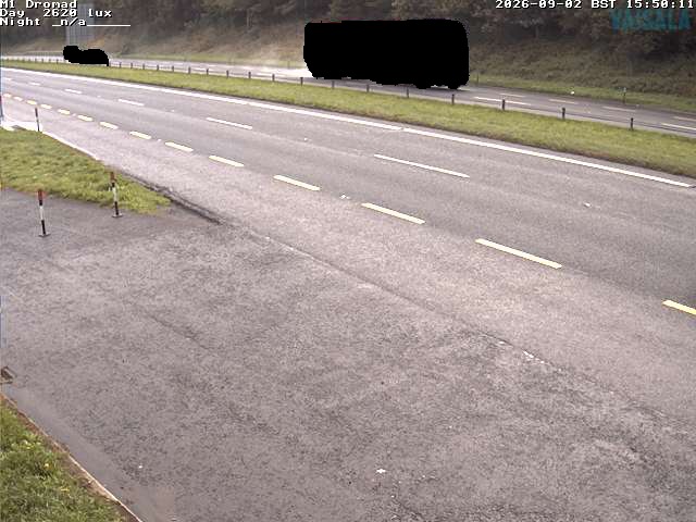
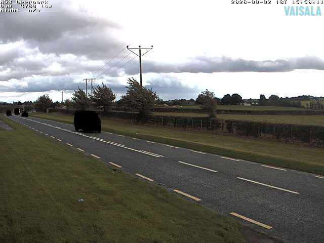
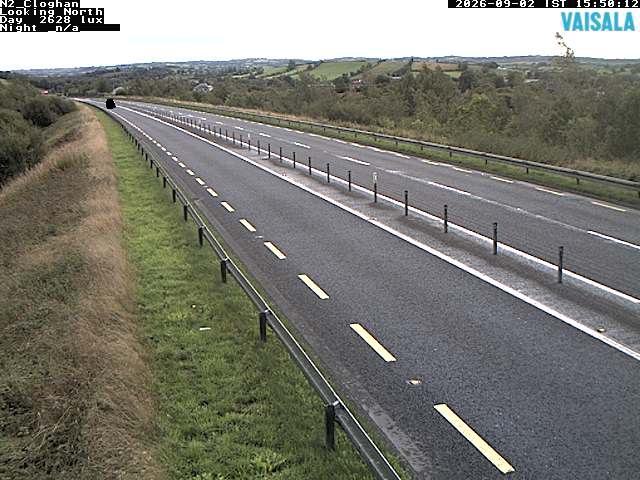
Slieve Gullion yakınındaki web kameraları

Slieve Gullion çevresinde tarih
- Battle of Faughart1318
- Battle of Moyry Pass1600
- death of Tony Golden2015
- The Provisional Irish Republican Army carries out a mortar attack on the Royal Ulster Constabulary police station at Newry in Northern Ireland1985
- Kingsmill massacre1976
- Battle of Tragh-Bhaile1399
- Murder of Irene White2005
- 1994 British Army Lynx shootdown1994