Krýsuvík-Trölladyngja
360 m1 181 ft
Volcan · Islande
The volcanic system of Krýsuvík, is situated in the south–west of Iceland on the Reykjanes peninsula. It is located in the middle of Reykjanes and on the divergent plate boundary of the Mid-Atlantic Ridge which traverses Iceland.
Source : Wikipedia, CC BY-SA · Lire l’article
Au sommet · prévision pour 1:00
-1 °CNuageux · vent 23 km/h du N
 Voir en 3D
Météo au sommet : Krýsuvík-Trölladyngja, 360 m
- 1:00-1 °CN 23 km/h0,1 mm
- 4:001 °CN 26 km/h0,9 mm
- 7:002 °CN 25 km/h–
- 10:002 °CN 19 km/h–
- 13:003 °CN 15 km/h–
- 16:003 °CNO 14 km/h–
- 19:002 °CO 19 km/h–
- 22:002 °CNO 18 km/h–
| Jour | Ciel | Max. / min. | Pluie | Vent jusqu’à |
|---|---|---|---|---|
| Aujourd’hui | Nuageux | 3 °C / -1 °C | 1 mm | 28 km/h |
| mer. 28 oct. | Nuageux | 5 °C / 1 °C | 0,6 mm | 44 km/h |
| jeu. 29 oct. | Pluie | 7 °C / 3 °C | 11,7 mm | 68 km/h |
| ven. 30 oct. | Pluie forte | 3 °C / 3 °C | 12 mm | 22 km/h |
| sam. 31 oct. | Pluie | 4 °C / 3 °C | 7 mm | 40 km/h |
| dim. 1 nov. | Pluie | 6 °C / 3 °C | 19,4 mm | 40 km/h |
| lun. 2 nov. | Pluie faible | 7 °C / 4 °C | 8,4 mm | 35 km/h |
Prévisions de MET Norway (CC BY 4.0), mises à jour à 23:20 UTC. Heures locales.
Fiche technique
- Type
- Volcan
- Altitude
- 360 m (1 181 ft)
- Pays
- Islande
- Coordonnées
- 63.930°N 22.100°W
- Numéro du volcan
- 371030 au Global Volcanism Program
- Source
- Wikidata, CC0
Krýsuvík (volcanic system)
Volcanic region in Iceland
The volcanic system of Krýsuvík, is situated in the south–west of Iceland on the Reykjanes peninsula. It is located in the middle of Reykjanes and on the divergent plate boundary of the Mid-Atlantic Ridge which traverses Iceland. It was named after the Krýsuvík area which is part of it and consists of a fissure system without a central volcano.
Source : Wikipedia, CC BY-SA · Lire l’article
Sommets près de Krýsuvík-Trölladyngja
- Trölladyngja378 m · à 0,3 kmSur la carte
- Keilir378 m · à 3,8 kmSur la carte
- Sveifluháls395 m · à 4,8 kmSur la carte
- Litli-Hrútur312 m · à 5,7 kmSur la carte
- Fagradalsfjall385 m · à 8,9 kmSur la carte
- Brennisteinsfjöll621 m · à 13 kmSur la carte
- Helgafell340 m · à 15 kmSur la carte
- Búrfell180 m · à 17 kmSur la carte
- Þorbjörn243 m · à 18 kmSur la carte
- Svartsengi243 m · à 18 kmSur la carte
Plus hautes montagnes : Islande
- Öræfajökull2 110 mSur la carte
- Hautes Terres d'Islande2 110 mSur la carte
- Hvannadalshnjúkur2 110 mSur la carte
- Bárðarbunga2 010 mSur la carte
- Kverkfjöll1 933 mSur la carte
- Hrútsfjallstindar1 875 mSur la carte
- Snæfell1 833 mSur la carte
- Esjufjöll1 760 mSur la carte
- Grímsvötn1 725 mSur la carte
- Herðubreið1 682 mSur la carte
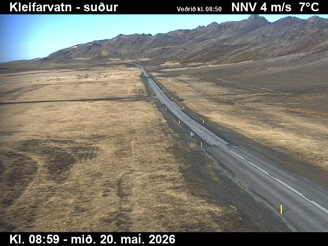
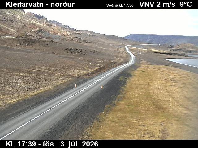
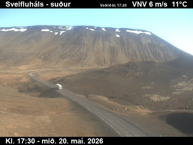
Webcams près de Krýsuvík-Trölladyngja
Histoire autour de Krýsuvík-Trölladyngja
Villes près de Krýsuvík-Trölladyngja
- Hafnarfjörðurà 17 km
- Kópavogurà 22 km
- Reykjanesbærà 24 km
- Keflavíkà 24 km
- Reykjavikà 25 km