Krýsuvík
360 米1,181 英尺
火山 · 冰岛
The volcanic system of Krýsuvík, is situated in the south–west of Iceland on the Reykjanes peninsula. It is located in the middle of Reykjanes and on the divergent plate boundary of the Mid-Atlantic Ridge which traverses Iceland.
来自Wikipedia,CC BY-SA · 阅读文章
山顶 · 4:00 的预报
0 °C雨夹雪 · 北风 25 km/h
 3D 查看
Krýsuvík山顶天气,360 米
- 4:000 °C北 25 km/h1.1 mm
- 7:002 °C西北 27 km/h0.6 mm
- 10:002 °C北 23 km/h–
- 13:003 °C北 21 km/h–
- 16:003 °C西北 19 km/h–
- 19:002 °C西北 21 km/h–
- 22:003 °C西北 24 km/h–
- 1:003 °C北 26 km/h–
| 日期 | 天气 | 最高 / 最低 | 雨 | 最大风速 |
|---|---|---|---|---|
| 今天 | 多云 | 4 °C / 0 °C | 1.7 mm | 28 km/h |
| 10月28日周三 | 阴 | 5 °C / 1 °C | 0.3 mm | 45 km/h |
| 10月29日周四 | 少云 | 7 °C / 4 °C | 11.7 mm | 63 km/h |
| 10月30日周五 | 大雨 | 3 °C / 3 °C | 12 mm | 22 km/h |
| 10月31日周六 | 中雨 | 4 °C / 3 °C | 7 mm | 40 km/h |
| 11月1日周日 | 中雨 | 6 °C / 3 °C | 19.4 mm | 40 km/h |
| 11月2日周一 | 小雨 | 7 °C / 4 °C | 8.4 mm | 35 km/h |
预报来自 MET Norway(CC BY 4.0),更新于 GMT 01:17。时间均为当地时间。
基本信息
Krýsuvík (volcanic system)
Volcanic region in Iceland
The volcanic system of Krýsuvík, is situated in the south–west of Iceland on the Reykjanes peninsula. It is located in the middle of Reykjanes and on the divergent plate boundary of the Mid-Atlantic Ridge which traverses Iceland. It was named after the Krýsuvík area which is part of it and consists of a fissure system without a central volcano.
来自Wikipedia,CC BY-SA · 阅读文章
Krýsuvík附近的山峰
- Trölladyngja378 米 · 0.3 公里外地图上
- Keilir378 米 · 3.8 公里外地图上
- Sveifluháls395 米 · 4.8 公里外地图上
- Litli-Hrútur312 米 · 5.7 公里外地图上
- 法格拉达尔山385 米 · 8.9 公里外地图上
- Brennisteinsfjöll621 米 · 13 公里外地图上
- Helgafell340 米 · 15 公里外地图上
- 布尔山180 米 · 17 公里外地图上
- Þorbjörn243 米 · 18 公里外地图上
- 斯威特森吉243 米 · 18 公里外地图上
冰岛最高的山
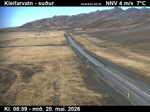
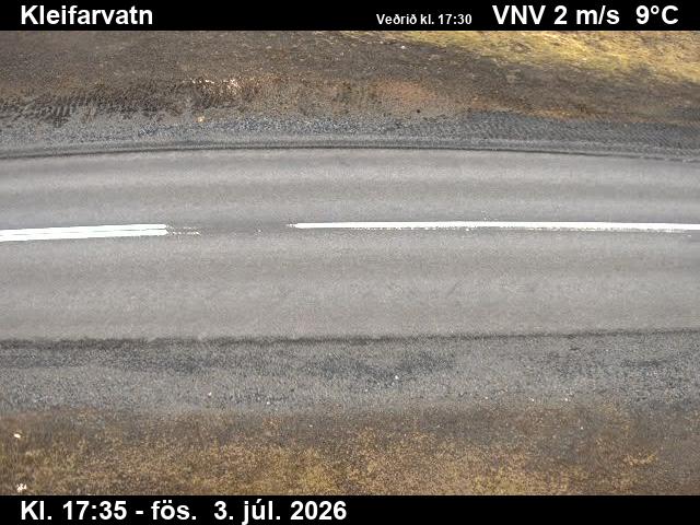
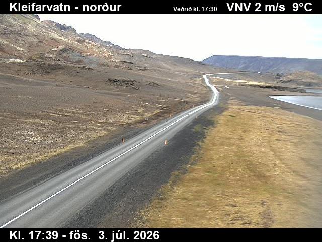
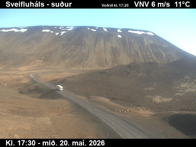
Krýsuvík附近的网络摄像头
Krýsuvík周边的历史
Krýsuvík附近的城镇
- 哈布纳菲厄泽17 公里外
- 科帕沃于尔22 公里外
- Reykjanesbær24 公里外
- 凯夫拉维克24 公里外
- 雷克雅未克25 公里外