Krýsuvík
360 m1,181 ft
火山 · アイスランド
The volcanic system of Krýsuvík, is situated in the south–west of Iceland on the Reykjanes peninsula. It is located in the middle of Reykjanes and on the divergent plate boundary of the Mid-Atlantic Ridge which traverses Iceland.
出典: Wikipedia、CC BY-SA · 記事を読む
山頂 · 5:00 の予報
1 °Cみぞれ · 北の風 26 km/h
 3D で見る
Krýsuvík 山頂の天気(360 m)
- 5:001 °C北 26 km/h1.2 mm
- 8:002 °C北 25 km/h0.3 mm
- 11:003 °C北 22 km/h–
- 14:004 °C北西 20 km/h–
- 17:003 °C北西 21 km/h–
- 20:002 °C北西 22 km/h–
- 23:003 °C北西 25 km/h–
- 2:002 °C北 24 km/h–
| 日付 | 天気 | 最高 / 最低 | 雨 | 最大風速 |
|---|---|---|---|---|
| 今日 | 晴れ時々曇り | 4 °C / 1 °C | 1.5 mm | 28 km/h |
| 10月28日(水) | 曇り | 5 °C / 1 °C | 0.3 mm | 45 km/h |
| 10月29日(木) | 晴れ | 7 °C / 4 °C | 11.7 mm | 63 km/h |
| 10月30日(金) | 強い雨 | 3 °C / 3 °C | 12 mm | 22 km/h |
| 10月31日(土) | 雨 | 4 °C / 3 °C | 7 mm | 40 km/h |
| 11月1日(日) | 雨 | 6 °C / 3 °C | 19.4 mm | 40 km/h |
| 11月2日(月) | 小雨 | 7 °C / 4 °C | 8.4 mm | 35 km/h |
MET Norway(CC BY 4.0)による予報。01:17 GMT 更新。時刻は現地時間です。
基本データ
- 種類
- 火山
- 標高
- 360 m (1,181 ft)
- 座標
- 63.930°N 22.100°W
Krýsuvík (volcanic system)
Volcanic region in Iceland
The volcanic system of Krýsuvík, is situated in the south–west of Iceland on the Reykjanes peninsula. It is located in the middle of Reykjanes and on the divergent plate boundary of the Mid-Atlantic Ridge which traverses Iceland. It was named after the Krýsuvík area which is part of it and consists of a fissure system without a central volcano.
出典: Wikipedia、CC BY-SA · 記事を読む
Krýsuvík周辺の山
- Trölladyngja378 m · 0.3 km先地図上
- Keilir378 m · 3.8 km先地図上
- Sveifluháls395 m · 4.8 km先地図上
- Litli-Hrútur312 m · 5.7 km先地図上
- ファグラダルスフィヤル385 m · 8.9 km先地図上
- ブレンニステインスフィヨットル621 m · 13 km先地図上
- Helgafell340 m · 15 km先地図上
- Búrfell180 m · 17 km先地図上
- Þorbjörn243 m · 18 km先地図上
- Svartsengi243 m · 18 km先地図上
アイスランドの高い山
- エーライヴァヨークトル2,110 m地図上
- アイスランド中央高地2,110 m地図上
- クヴァンナダルスフニュークル2,110 m地図上
- バルダルブンガ山2,010 m地図上
- クヴェルクフィヨットル1,933 m地図上
- Hrútsfjallstindar1,875 m地図上
- Snæfell1,833 m地図上
- エーシュフィヨットル1,760 m地図上
- グリムスヴォトン1,725 m地図上
- ヘルズブレイズ1,682 m地図上
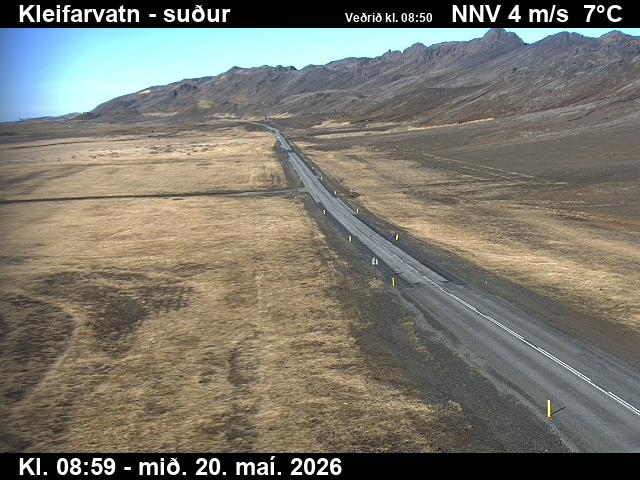
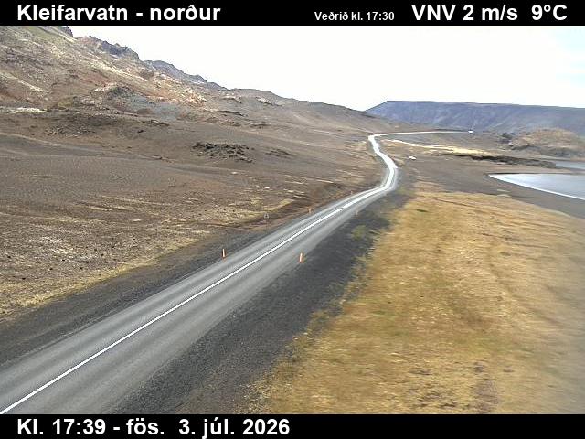
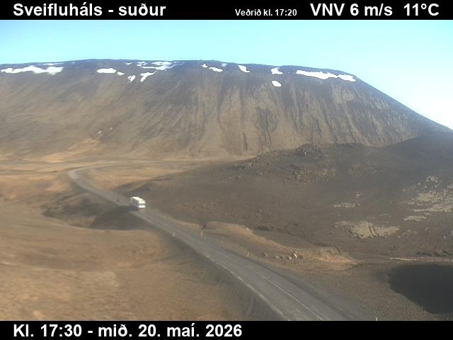
Krýsuvík周辺のライブカメラ
Krýsuvík周辺の歴史
Krýsuvík周辺の町
- ハフナルフィヨルズゥル17 km先
- コーパヴォグル22 km先
- Reykjanesbær24 km先
- ケプラヴィーク24 km先
- レイキャヴィーク25 km先