Rangituhi / Colonial Knob
459 m1 506 ft
Colline · Nouvelle-Zélande
Rangituhi / Colonial Knob is a large hill or mountain southwest of Porirua city and west of the northern Wellington suburb of Tawa. The peak's summit stands at 468 m (1,535 ft).
Source : Wikipedia, CC BY-SA · Lire l’article
Au sommet · prévision pour 7:00
11 °CPlutôt dégagé · vent 47 km/h du NO
Météo au sommet : Rangituhi / Colonial Knob, 459 m
- 7:0011 °CNO 47 km/h–
- 10:0012 °CNO 49 km/h–
- 13:0012 °CNO 45 km/h0,3 mm
- 16:0013 °CNO 44 km/h–
- 19:0011 °CO 46 km/h–
- 22:009 °CNO 44 km/h–
- 1:008 °CO 44 km/h–
- 4:008 °CO 37 km/h–
| Jour | Ciel | Max. / min. | Pluie | Vent jusqu’à |
|---|---|---|---|---|
| Aujourd’hui | Pluie | 14 °C / 9 °C | 0,3 mm | 50 km/h |
| ven. 30 oct. | Dégagé | 13 °C / 7 °C | 4,5 mm | 48 km/h |
| sam. 31 oct. | Plutôt dégagé | 11 °C / 6 °C | 0,3 mm | 40 km/h |
| dim. 1 nov. | Partiellement nuageux | 12 °C / 9 °C | 0,3 mm | 37 km/h |
| lun. 2 nov. | Pluie faible | 13 °C / 11 °C | 3 mm | 37 km/h |
| mar. 3 nov. | Nuageux | 14 °C / 12 °C | 2,4 mm | 28 km/h |
| mer. 4 nov. | Partiellement nuageux | 15 °C / 12 °C | 0,2 mm | 17 km/h |
Prévisions de MET Norway (CC BY 4.0), mises à jour à 06:20 UTC+13. Heures locales.
Fiche technique
- Type
- Colline
- Altitude
- 459 m (1 506 ft)
- Pays
- Nouvelle-Zélande
- Coordonnées
- 41.155°S 174.804°E
- Source
- Wikidata, CC0
Rangituhi / Colonial Knob
New Zealand hill/mountain
Rangituhi / Colonial Knob is a large hill or mountain southwest of Porirua city and west of the northern Wellington suburb of Tawa. The peak's summit stands at 468 m (1,535 ft). Kapiti Island and Mana Island can be seen from the peak, and on a clear day the inland Kaikōura Ranges to the south and Mount Taranaki to the north may also be seen.
Source : Wikipedia, CC BY-SA · Lire l’article
Sommets près de Rangituhi / Colonial Knob
- Mount Kaukau445 m · à 8,7 kmSur la carte
- Mont Victoria (Wellington)196 m · à 16 kmSur la carte
- Mount Matthews941 m · à 28 kmSur la carte
- Mount Hector1 529 m · à 46 kmSur la carte
- Te Ahumairangi HillColline · à 13 kmSur la carte
- Mount CrawfordColline · à 16 kmSur la carte
- mont Stokes1 203 m · à 59 kmSur la carte
Plus hautes montagnes : Nouvelle-Zélande
- Aoraki/Mont Cook3 724 mSur la carte
- mont Tasman3 497 mSur la carte
- Malte-Brun3 199 mSur la carte
- Mount Sefton3 151 mSur la carte
- Mount Elie De Beaumont3 109 mSur la carte
- La Perouse3 078 mSur la carte
- Douglas Peak3 077 mSur la carte
- The Minarets3 040 mSur la carte
- mont Aspiring3 033 mSur la carte
- Mount Hamilton3 025 mSur la carte
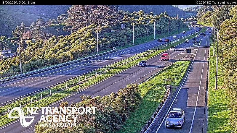
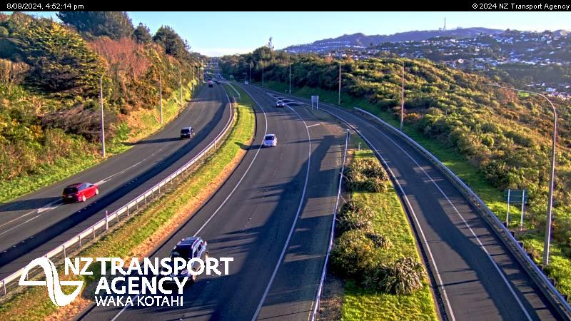
Webcams près de Rangituhi / Colonial Knob


Histoire autour de Rangituhi / Colonial Knob
- Trans-Pacific Partnership2016
- Battle of Huamachuco1883
- Earthquake — New Zealand: Wellington,Waiouru,Wanganui,Otaki1855
- Battle of Manners Street1943
- Protests in Wellington start outside Parliament, and develop into an "occupation", which lasts until 2 March when police moved in2022
- Wellington Convention1989
- The New Zealand Industrial Exhibition opens in Wellington1885
- Battle of Battle Hill1846
Villes près de Rangituhi / Colonial Knob
- Poriruaà 4,6 km
- Lower Huttà 12 km
- Wellingtonà 15 km
- Karorià 15 km
- Wainuiomataà 17 km
- Upper Huttà 21 km