新西兰的山
3D 查看Rangituhi / Colonial Knob
459 米1,506 英尺
丘陵 · 新西兰
Rangituhi / Colonial Knob is a large hill or mountain southwest of Porirua city and west of the northern Wellington suburb of Tawa. The peak's summit stands at 468 m (1,535 ft).
来自Wikipedia,CC BY-SA · 阅读文章
山顶 · 17:00 的预报
13 °C晴 · 西北风 45 km/h
Rangituhi / Colonial Knob山顶天气,459 米
- 17:0013 °C西北 45 km/h–
- 20:0010 °C西 45 km/h–
- 23:009 °C西 45 km/h–
- 2:008 °C西 41 km/h–
- 5:008 °C西 39 km/h–
- 8:009 °C西北 32 km/h1.5 mm
- 11:0010 °C西北 48 km/h0.1 mm
- 14:0014 °C西 45 km/h0.4 mm
| 日期 | 天气 | 最高 / 最低 | 雨 | 最大风速 |
|---|---|---|---|---|
| 10月30日周五 | 晴 | 14 °C / 7 °C | 3.3 mm | 48 km/h |
| 10月31日周六 | 晴 | 11 °C / 7 °C | 0.1 mm | 38 km/h |
| 11月1日周日 | 多云 | 12 °C / 9 °C | 0.3 mm | 37 km/h |
| 11月2日周一 | 小雨 | 13 °C / 11 °C | 3 mm | 37 km/h |
| 11月3日周二 | 阴 | 14 °C / 12 °C | 2.4 mm | 28 km/h |
| 11月4日周三 | 多云 | 15 °C / 12 °C | 0.2 mm | 17 km/h |
| 11月5日周四 | 阴 | 15 °C / 12 °C | 1.1 mm | 30 km/h |
预报来自 MET Norway(CC BY 4.0),更新于 GMT+13 08:20。时间均为当地时间。
基本信息
Rangituhi / Colonial Knob
New Zealand hill/mountain
Rangituhi / Colonial Knob is a large hill or mountain southwest of Porirua city and west of the northern Wellington suburb of Tawa. The peak's summit stands at 468 m (1,535 ft). Kapiti Island and Mana Island can be seen from the peak, and on a clear day the inland Kaikōura Ranges to the south and Mount Taranaki to the north may also be seen.
来自Wikipedia,CC BY-SA · 阅读文章
Rangituhi / Colonial Knob附近的山峰
- 泳山445 米 · 8.7 公里外地图上
- Mount Victoria196 米 · 16 公里外地图上
- Mount Matthews941 米 · 28 公里外地图上
- Mount Hector1,529 米 · 46 公里外地图上
- Te Ahumairangi Hill丘陵 · 13 公里外地图上
- Mount Crawford丘陵 · 16 公里外地图上
- Mount Stokes1,203 米 · 59 公里外地图上
新西兰最高的山
- 庫克山3,724 米地图上
- Mount Tasman3,497 米地图上
- Malte-Brun3,199 米地图上
- 塞夫頓山3,151 米地图上
- Mount Elie De Beaumont3,109 米地图上
- La Perouse3,078 米地图上
- Douglas Peak3,077 米地图上
- The Minarets3,040 米地图上
- 阿斯帕林山3,033 米地图上
- Mount Hamilton3,025 米地图上
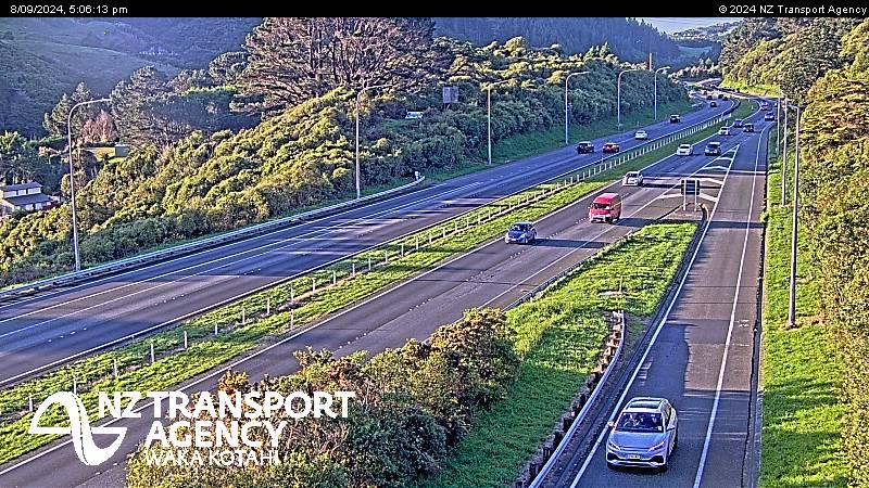
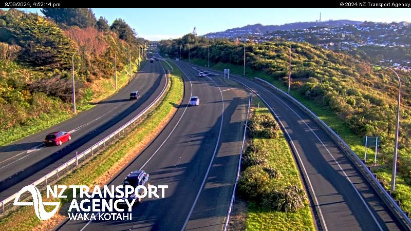
Rangituhi / Colonial Knob附近的网络摄像头


Rangituhi / Colonial Knob周边的历史
- Trans-Pacific Partnership2016
- Battle of Huamachuco1883
- Earthquake — New Zealand: Wellington,Waiouru,Wanganui,Otaki1855
- Battle of Manners Street1943
- Protests in Wellington start outside Parliament, and develop into an "occupation", which lasts until 2 March when police moved in2022
- Wellington Convention1989
- The New Zealand Industrial Exhibition opens in Wellington1885
- Battle of Battle Hill1846