Te Ahumairangi Hill
丘陵 · 新西兰
Te Ahumairangi Hill is a hill running for over 100 hectares through the Town Belt of Wellington, New Zealand. It was renamed Te Ahumairangi Hill as part of the Port Nicholson Block Claims Settlement Act 2009. The suburb of Wadestown lies to the north, with Wilton, and Northland to the west and south-west.
来自Wikipedia,CC BY-SA · 阅读文章
山顶 · 16:00 的预报
15 °C晴 · 西北风 44 km/h
 3D 查看
Te Ahumairangi Hill天气预报
- 16:0015 °C西北 44 km/h–
- 19:0014 °C西北 37 km/h–
- 22:0012 °C西北 42 km/h–
- 1:0011 °C西北 38 km/h–
- 4:0010 °C西 39 km/h–
- 7:0010 °C西北 36 km/h0.6 mm
- 10:0011 °C西北 35 km/h0.1 mm
- 13:0015 °C西 32 km/h–
| 日期 | 天气 | 最高 / 最低 | 雨 | 最大风速 |
|---|---|---|---|---|
| 10月30日周五 | 晴 | 16 °C / 9 °C | 1.6 mm | 58 km/h |
| 10月31日周六 | 晴 | 13 °C / 8 °C | 0.3 mm | 44 km/h |
| 11月1日周日 | 少云 | 15 °C / 10 °C | – | 42 km/h |
| 11月2日周一 | 多云 | 15 °C / 13 °C | – | 41 km/h |
| 11月3日周二 | 多云 | 16 °C / 14 °C | 0.2 mm | 32 km/h |
| 11月4日周三 | 多云 | 17 °C / 14 °C | 0.1 mm | 30 km/h |
| 11月5日周四 | 中雨 | 16 °C / 14 °C | 6 mm | 29 km/h |
预报来自 MET Norway(CC BY 4.0),更新于 GMT+13 14:17。时间均为当地时间。
基本信息
Te Ahumairangi Hill
Hill located in Wellington, New Zealand
Te Ahumairangi Hill is a hill running for over 100 hectares through the Town Belt of Wellington, New Zealand. It was renamed Te Ahumairangi Hill as part of the Port Nicholson Block Claims Settlement Act 2009. The suburb of Wadestown lies to the north, with Wilton, and Northland to the west and south-west. Te Ahumairangi lies within Thorndon which continues to its south-east.
来自Wikipedia,CC BY-SA · 阅读文章
Te Ahumairangi Hill附近的山峰
- Mount Victoria196 米 · 3.9 公里外地图上
- 泳山445 米 · 4 公里外地图上
- Rangituhi / Colonial Knob459 米 · 13 公里外地图上
- Mount Matthews941 米 · 22 公里外地图上
- Mount Hector1,529 米 · 55 公里外地图上
- Mount Crawford丘陵 · 5.7 公里外地图上
- Mount Stokes1,203 米 · 59 公里外地图上
新西兰最高的山
- 庫克山3,724 米地图上
- Mount Tasman3,497 米地图上
- Malte-Brun3,199 米地图上
- 塞夫頓山3,151 米地图上
- Mount Elie De Beaumont3,109 米地图上
- La Perouse3,078 米地图上
- Douglas Peak3,077 米地图上
- The Minarets3,040 米地图上
- 阿斯帕林山3,033 米地图上
- Mount Hamilton3,025 米地图上
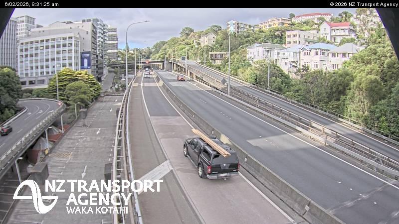
Te Ahumairangi Hill附近的网络摄像头



Te Ahumairangi Hill周边的历史
- Trans-Pacific Partnership2016
- Battle of Huamachuco1883
- Earthquake — New Zealand: Wellington,Waiouru,Wanganui,Otaki1855
- Battle of Manners Street1943
- Protests in Wellington start outside Parliament, and develop into an "occupation", which lasts until 2 March when police moved in2022
- Wellington Convention1989
- The New Zealand Industrial Exhibition opens in Wellington1885