Montagnes de Allemagne
Voir en 3DSchwarzkopf
460 m1 509 ft
Montagne · Spessart · Allemagne
Schwarzkopf is a wooded hill located in the Aschaffenburg district of Bavaria, Germany. It is part of the Mittelgebirge Spessart. Schwarzkopf lies east of Laufach and south of Heigenbrücken. It is located in the unincorporated area Forst Hain im Spessart.
Source : Wikipedia, CC BY-SA · Lire l’article
Au sommet · prévision pour 11:00
10 °CPartiellement nuageux · vent 13 km/h du NO
Météo au sommet : Schwarzkopf, 460 m
- 11:0010 °CNO 13 km/h–
- 14:0012 °CNO 13 km/h–
- 17:009 °CNO 8 km/h–
- 20:006 °CNO 8 km/h–
- 23:006 °CNO 5 km/h–
- 2:005 °CNO 4 km/h–
- 5:005 °CNE 3 km/h–
- 8:004 °CNE 5 km/h–
| Jour | Ciel | Max. / min. | Pluie | Vent jusqu’à |
|---|---|---|---|---|
| Aujourd’hui | Plutôt dégagé | 12 °C / 6 °C | – | 14 km/h |
| jeu. 29 oct. | Dégagé | 12 °C / 4 °C | – | 11 km/h |
| ven. 30 oct. | Nuageux | 11 °C / 5 °C | – | 16 km/h |
| sam. 31 oct. | Partiellement nuageux | 10 °C / 4 °C | – | 13 km/h |
| dim. 1 nov. | Partiellement nuageux | 10 °C / 3 °C | – | 10 km/h |
| lun. 2 nov. | Nuageux | 9 °C / 4 °C | 0,4 mm | 15 km/h |
| mar. 3 nov. | Dégagé | 8 °C / 2 °C | 0,1 mm | 14 km/h |
Prévisions de MET Norway (CC BY 4.0), mises à jour à 09:20 UTC+1. Heures locales.
Fiche technique
- Type
- Montagne
- Altitude
- 460 m (1 509 ft)
- Massif
- Spessart
- Pays
- Allemagne
- Coordonnées
- 50.015°N 9.372°E
- Source
- Wikidata, CC0
Sommets près de Schwarzkopf
- Weickertshöhe546 m · à 7,8 kmSur la carte
- Horst540 m · à 19 kmSur la carte
- Schwarzer Berg521 m · à 20 kmSur la carte
- Schanzenkopf343 m · à 21 kmSur la carte
- Wintersberg434 m · à 23 kmSur la carte
- Markberg516 m · à 24 kmSur la carte
- Sodenberg481 m · à 33 kmSur la carte
- Otzberg368 m · à 40 kmSur la carte
- Dreistelzberg660 m · à 40 kmSur la carte
- Stiftes568 m · à 41 kmSur la carte
Les plus hauts : Spessart
- Querberg567 mSur la carte
- Hermannskoppe567 mSur la carte
- Klosterkuppel553 mSur la carte
- Weickertshöhe546 mSur la carte
- Steckenlaubshöhe542 mSur la carte
- Hoher Knuck539 mSur la carte
- Sohlhöhe531 mSur la carte
- Schindershöh522 mSur la carte
- Schwarzkopf460 mSur la carte
Plus hautes montagnes : Allemagne
- Zugspitze2 962 mSur la carte
- Hochwanner2 744 mSur la carte
- Dreitorspitze2 682 mSur la carte
- Hochkalter2 607 mSur la carte
- Biberkopf2 599 mSur la carte
- Grosser Hundstod2 594 mSur la carte
- Hochvogel2 592 mSur la carte
- Östliche Karwendelspitze2 538 mSur la carte
- Hocheisspitze2 523 mSur la carte
- Hoher Göll2 522 mSur la carte
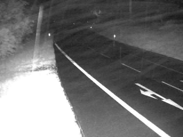
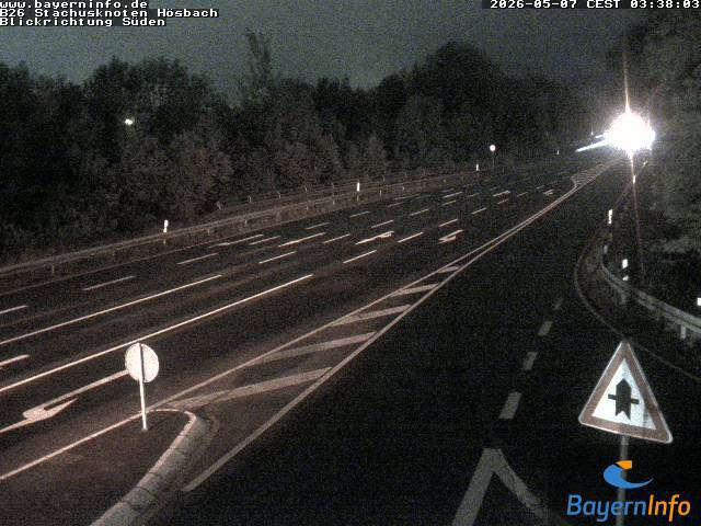
Webcams près de Schwarzkopf
Histoire autour de Schwarzkopf
- Robert Schuman presents his proposal for the creation of a pan-European organisation1950
- Standard & Poor's downgrades Greece's sovereign credit rating to junk 4 days after the activation of a €45-billion EU–IMF bailout2010
- 2025 Aschaffenburg stabbing attack: Two people, including a child, are killed in a knife attack in Aschaffenburg2025
- Stock markets rise significantly and bond prices fall around the world after investors are reassured by the European Union and International Monetary Fund’s…2010
- Battle of Aschaffenburg1866
- Battle of Laufach1866
- 2024 European farmers' protests2024
- Venezuela's democratic opposition wins the Sakharov Prize, the European Union's top human rights award2017
Villes près de Schwarzkopf
- Lohrà 15 km
- Aschaffenburgà 16 km
- Alzenau in Unterfrankenà 23 km
- Großostheimà 24 km
- Gelnhausenà 25 km
- Seligenstadtà 29 km