ドイツの山
Altlacher Hoch-Kopf
1,328 m4,357 ft
山 · Wallgau Alps · ドイツ
Der Altlacher Hochkopf ist ein 1328 m hoher Berg in den Bayerischen Voralpen südlich des Walchensees im Gemeindegebiet der Jachenau.
出典: Wikipedia(ドイツ語)、CC BY-SA · 記事を読む
山頂 · 13:00 の予報
7 °C強い雨 · 北西の風 10 km/h
 3D で見る
Altlacher Hoch-Kopf 山頂の天気(1,328 m)
- 13:007 °C北西 10 km/h5.9 mm
- 16:005 °C北西 7 km/h1.7 mm
- 19:005 °C西 6 km/h1.8 mm
- 22:004 °C北西 7 km/h0.5 mm
- 1:004 °C北 4 km/h–
- 4:003 °C南東 4 km/h–
- 7:002 °C南東 4 km/h–
- 10:005 °C北東 4 km/h–
| 日付 | 天気 | 最高 / 最低 | 雨 | 最大風速 |
|---|---|---|---|---|
| 10月29日(木) | 晴れ | 9 °C / 1 °C | – | 14 km/h |
| 10月30日(金) | 晴れ | 7 °C / 0 °C | – | 15 km/h |
| 10月31日(土) | 快晴 | 6 °C / -1 °C | 0.2 mm | 7 km/h |
| 11月1日(日) | 雪 | 1 °C / -1 °C | 5.3 mm | 7 km/h |
| 11月2日(月) | 曇り | 2 °C / -2 °C | 0.2 mm | 7 km/h |
| 11月3日(火) | 曇り | 1 °C / -1 °C | 0.4 mm | 12 km/h |
| 11月4日(水) | 快晴 | 5 °C / -4 °C | 0.1 mm | 7 km/h |
MET Norway(CC BY 4.0)による予報。12:19 GMT+1 更新。時刻は現地時間です。
基本データ
- 種類
- 山
- 標高
- 1,328 m (4,357 ft)
- 山脈
- Wallgau Alps
- 国
- ドイツ
- 座標
- 47.554°N 11.356°E
Altlacher Hoch-Kopf周辺の山
- Herzogstand1,731 m · 7.6 km先地図上
- Wörner2,474 m · 12 km先地図上
- Krottenkopf2,086 m · 12 km先地図上
- Wank1,780 m · 17 km先地図上
- Birkkarspitze2,749 m · 17 km先地図上
- Kaltwasserkarspitze2,733 m · 18 km先地図上
- Dreitorspitze2,682 m · 24 km先地図上
- Lamsenspitze2,508 m · 26 km先地図上
- Osterfelderkopf2,057 m · 26 km先地図上
- Hafelekarspitze2,334 m · 26 km先地図上
Wallgau Alpsの最高峰
ドイツの高い山
- ツークシュピッツェ2,962 m地図上
- Hochwanner2,744 m地図上
- Dreitorspitze2,682 m地図上
- ホッホカルター2,607 m地図上
- Biberkopf2,599 m地図上
- Großer Hundstod2,594 m地図上
- Hochvogel2,592 m地図上
- Östliche Karwendelspitze2,538 m地図上
- Hocheisspitze2,523 m地図上
- Hoher Göll2,522 m地図上
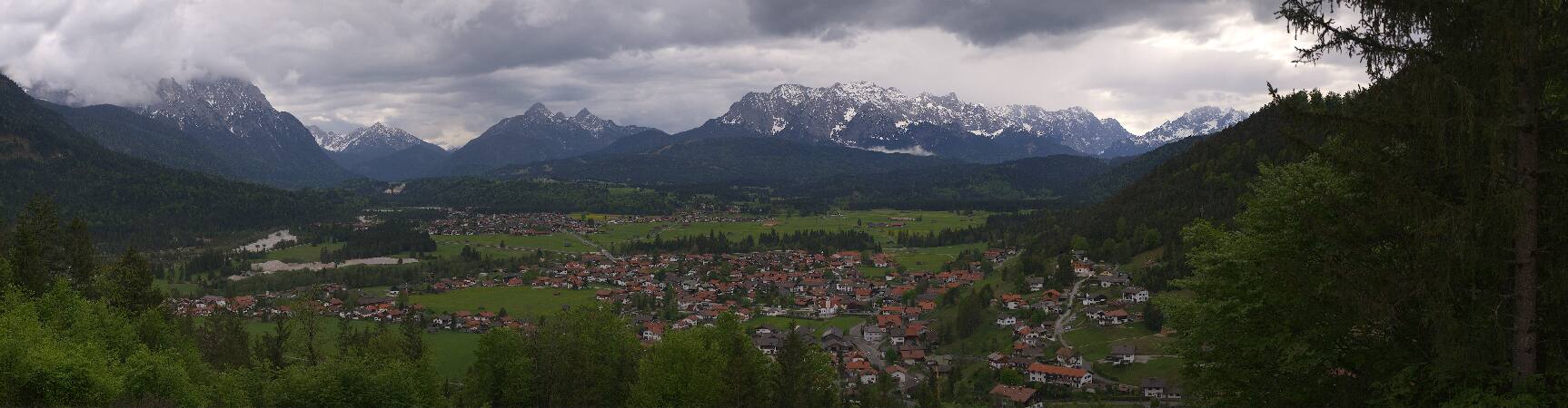
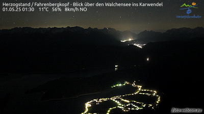
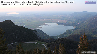
Altlacher Hoch-Kopf周辺のライブカメラ

Altlacher Hoch-Kopf周辺の歴史
Altlacher Hoch-Kopf周辺の町
- Garmisch-Partenkirchen21 km先
- Penzberg22 km先
- Bad Tölz28 km先
- Innsbruck33 km先
- Telfs35 km先
- Geretsried35 km先