Carrickgollogan
276 m906 ft
山 · ウィックロー山地 · アイルランド
Carrickgollogan is a hill in Dún Laoghaire–Rathdown in Ireland, towards the southern border of the traditional County Dublin. It is 276 metres high, on the eastern edge of the Dublin Mountains, rising above the districts of Rathmichael and Shankill.
出典: Wikipedia、CC BY-SA · 記事を読む
山頂 · 5:00 の予報
11 °C曇り · 南西の風 28 km/h
 3D で見る
Carrickgollogan 山頂の天気(276 m)
- 5:0011 °C南西 28 km/h–
- 8:0011 °C西 24 km/h–
- 11:0012 °C西 24 km/h–
- 14:0014 °C南西 21 km/h–
- 17:0011 °C南西 11 km/h–
- 20:0011 °C南西 12 km/h–
- 23:0010 °C南西 14 km/h–
- 2:0010 °C南 15 km/h–
| 日付 | 天気 | 最高 / 最低 | 雨 | 最大風速 |
|---|---|---|---|---|
| 今日 | 晴れ時々曇り | 14 °C / 10 °C | – | 28 km/h |
| 10月29日(木) | 曇り | 13 °C / 10 °C | – | 30 km/h |
| 10月30日(金) | 曇り | 14 °C / 10 °C | 1.7 mm | 35 km/h |
| 10月31日(土) | 曇り | 13 °C / 10 °C | 1.2 mm | 13 km/h |
| 11月1日(日) | 晴れ時々曇り | 10 °C / 6 °C | 0.2 mm | 13 km/h |
| 11月2日(月) | 晴れ時々曇り | 10 °C / 6 °C | – | 13 km/h |
| 11月3日(火) | 曇り | 10 °C / 7 °C | 0.3 mm | 14 km/h |
MET Norway(CC BY 4.0)による予報。23:17 GMT 更新。時刻は現地時間です。
基本データ
- 種類
- 山
- 標高
- 276 m (906 ft)
- プロミネンス
- 118 m (387 ft)
- 山脈
- ウィックロー山地
- 座標
- 53.216°N 6.158°W
Carrickgollogan
Hill in County Dublin, Ireland
Carrickgollogan is a hill in Dún Laoghaire–Rathdown in Ireland, towards the southern border of the traditional County Dublin. It is 276 metres high, on the eastern edge of the Dublin Mountains, rising above the districts of Rathmichael and Shankill. Its summit is noted for the panoramic views it offers of south Dublin and north Wicklow.
出典: Wikipedia、CC BY-SA · 記事を読む
Carrickgollogan周辺の山
- Barnaslingan238 m · 1.3 km先地図上
- Prince William's Seat555 m · 5.7 km先地図上
- Bray Head241 m · 5.7 km先地図上
- Little Sugar Loaf342 m · 5.9 km先地図上
- Two Rock536 m · 6 km先地図上
- Killiney Hill153 m · 6.2 km先地図上
- Three Rock448 m · 6.3 km先地図上
- グレート・シュガー・ローフ山501 m · 6.9 km先地図上
- Kilmashogue408 m · 8.2 km先地図上
- Maulin570 m · 8.3 km先地図上
ウィックロー山地の最高峰
- ラグナキリア山925 m地図上
- Mullaghcleevaun849 m地図上
- Camenabologue758 m地図上
- Carrigvore682 m地図上
- Keadeen Mountain653 m地図上
- Carrickgollogan276 m地図上
アイルランドの高い山
- キャラントゥール山1,039 m地図上
- ブランドン山952 m地図上
- ラグナキリア山925 m地図上
- ギャルティー山脈918 m地図上
- Baurtregaum851 m地図上
- Mullaghcleevaun849 m地図上
- Mangerton Mountain838 m地図上
- Purple Mountain832 m地図上
- ビーノスキー826 m地図上
- Mweelrea814 m地図上
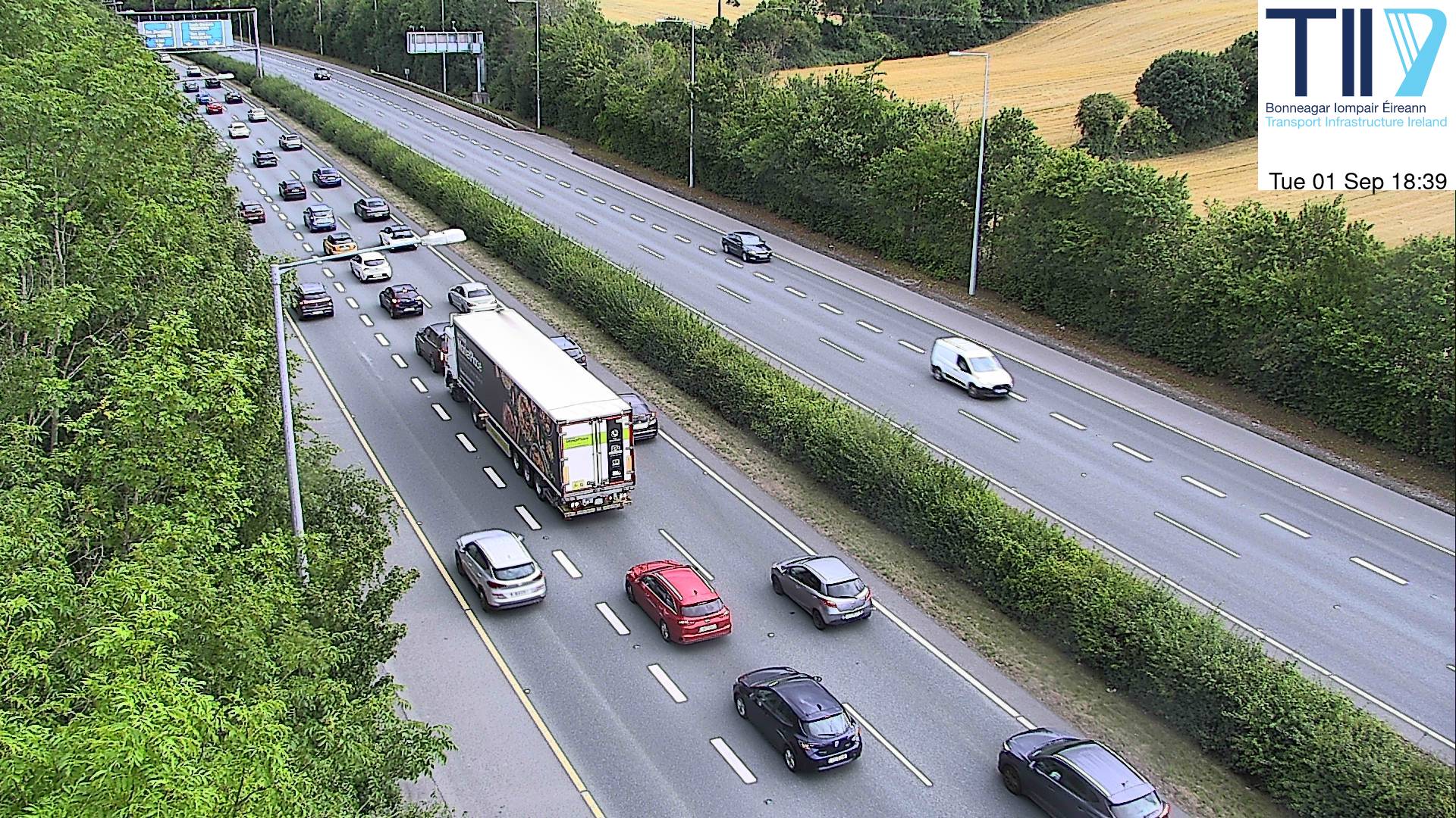
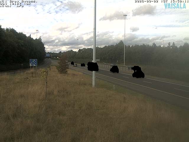
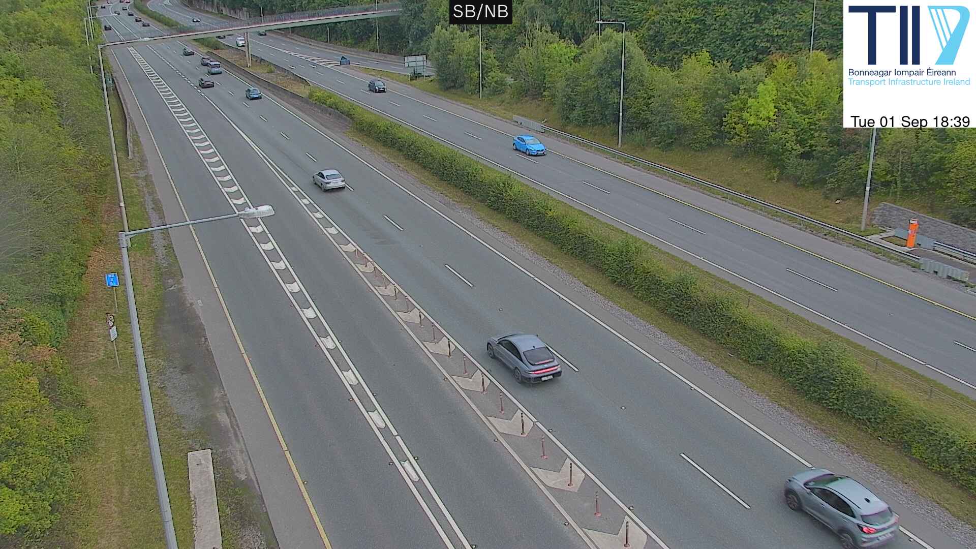
Carrickgollogan周辺のライブカメラ

Carrickgollogan周辺の歴史
- Battle of Clontarf1014
- Battle of Islandbridge919
- 2023 Dublin riot2023
- March for a Better Way2010
- 2010 student protest in Dublin2010
- 2006 Dublin riots2006
- Katrina and the Waves win the Eurovision Song Contest with the song Love Shine a Light, the first time the UK has won the competition since 19811997
- Lansdowne Road football riot1995