 See it in 3D
Facts
- What it is
- Mountain
- Height above sea level
- 276 m (906 ft)
- Prominence
- 118 m (387 ft)
- Range
- Wicklow Mountains
- Country
- Ireland
- Coordinates
- 53.216°N 6.158°W
- Source
- Wikidata, CC0
Peaks near Carrickgollogan
- Barnaslingan238 m · 1.3 km awayOn the map
- Prince William's Seat555 m · 5.7 km awayOn the map
- Bray Head241 m · 5.7 km awayOn the map
- Little Sugar Loaf342 m · 5.9 km awayOn the map
- Two Rock536 m · 6 km awayOn the map
- Killiney Hill153 m · 6.2 km awayOn the map
- Three Rock448 m · 6.3 km awayOn the map
- Great Sugar Loaf501 m · 6.9 km awayOn the map
- Kilmashogue408 m · 8.2 km awayOn the map
- Maulin570 m · 8.3 km awayOn the map
Highest in the Wicklow Mountains
- Lugnaquilla925 mOn the map
- Mullaghcleevaun849 mOn the map
- Camenabologue758 mOn the map
- Carrigvore682 mOn the map
- Keadeen Mountain653 mOn the map
- Carrickgollogan276 mOn the map
Highest mountains in Ireland
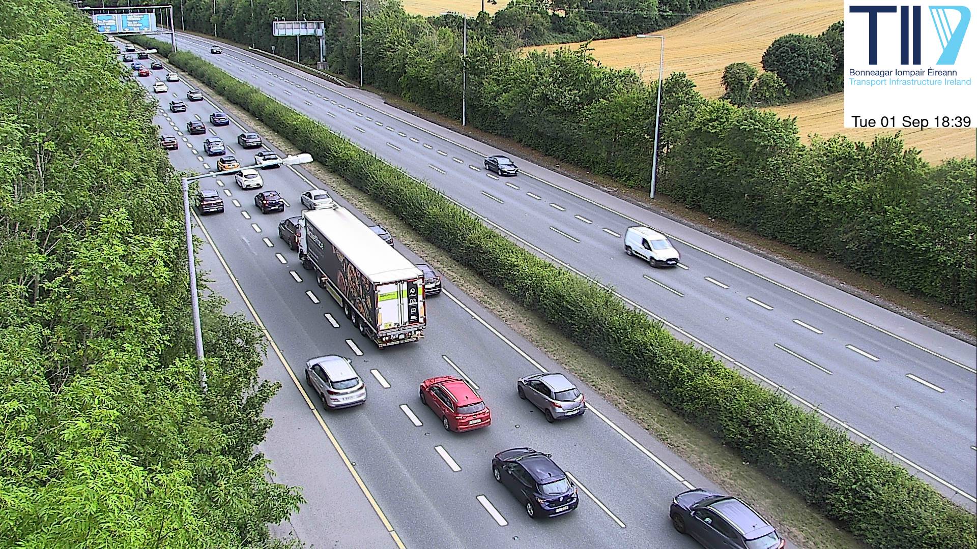
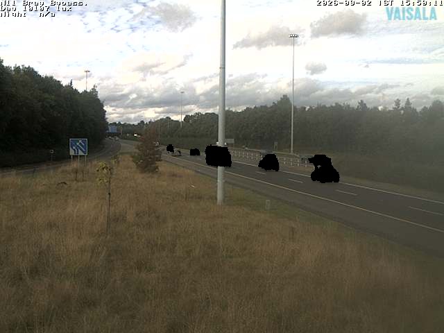
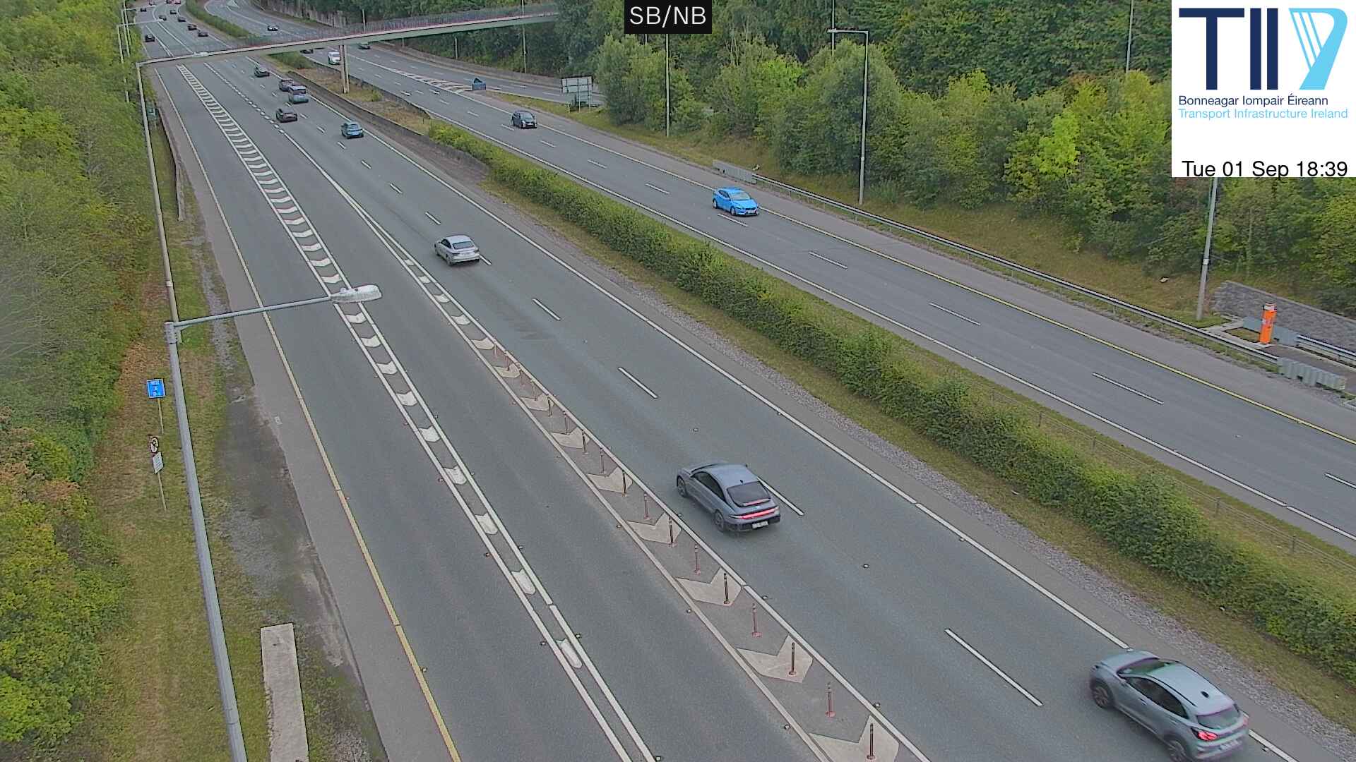
Webcams near Carrickgollogan


History around Carrickgollogan
- Battle of Clontarf1014
- Battle of Islandbridge919
- 2023 Dublin riot2023
- March for a Better Way2010
- 2010 student protest in Dublin2010
- 2006 Dublin riots2006
- Katrina and the Waves win the Eurovision Song Contest with the song Love Shine a Light, the first time the UK has won the competition since 19811997
- Lansdowne Road football riot1995
Towns near Carrickgollogan
- Bray4.2 km away
- Sandyford7.9 km away
- Dún Laoghaire8.8 km away
- Greystones11 km away
- Rathfarnham13 km away
- Dublin14 km away