Mountains in Ireland
Barnaslingan
238 m781 ft
Mountain · Wicklow Mountains · Ireland
Barnaslingan is a 238 metres high hill in County Dublin, Ireland. It is most noted for the geological feature known as The Scalp that lies to the west of the summit.
From Wikipedia, CC BY-SA · Read the article
At the summit · forecast for 5:00 AM
8 °CMostly clear · wind 31 km/h from the SW
 See it in 3D
Weather at the summit of Barnaslingan, 238 m
- 5:00 AM8 °CSW 31 km/h–
- 8:00 AM8 °CSW 37 km/h–
- 11:00 AM10 °CW 32 km/h0.4 mm
- 2:00 PM10 °CW 27 km/h0.2 mm
- 5:00 PM8 °CW 24 km/h–
- 8:00 PM8 °CSW 26 km/h–
- 11:00 PM8 °CSW 26 km/h–
- 2:00 AM10 °CSW 29 km/h–
| Day | Sky | High / low | Rain | Wind up to |
|---|---|---|---|---|
| Today | Rain | 11 °C / 8 °C | 0.6 mm | 37 km/h |
| Wed, Oct 28 | Partly cloudy | 14 °C / 9 °C | – | 29 km/h |
| Thu, Oct 29 | Partly cloudy | 13 °C / 10 °C | 0.1 mm | 32 km/h |
| Fri, Oct 30 | Cloudy | 14 °C / 11 °C | 2.9 mm | 35 km/h |
| Sat, Oct 31 | Rain | 14 °C / 9 °C | 3.2 mm | 19 km/h |
| Sun, Nov 1 | Mostly clear | 10 °C / 7 °C | – | 13 km/h |
| Mon, Nov 2 | Clear | 11 °C / 6 °C | – | 12 km/h |
Forecast by MET Norway (CC BY 4.0), updated 01:17 AM GMT. Times are local.
Facts
- What it is
- Mountain
- Height above sea level
- 238 m (781 ft)
- Range
- Wicklow Mountains
- Country
- Ireland
- Coordinates
- 53.219°N 6.177°W
- Source
- Wikidata, CC0
Peaks near Barnaslingan
- Carrickgollogan276 m · 1.3 km awayOn the map
- Prince William's Seat555 m · 4.6 km awayOn the map
- Two Rock536 m · 4.7 km awayOn the map
- Three Rock448 m · 5.1 km awayOn the map
- Killiney Hill153 m · 6.6 km awayOn the map
- Little Sugar Loaf342 m · 6.8 km awayOn the map
- Bray Head241 m · 6.9 km awayOn the map
- Kilmashogue408 m · 7 km awayOn the map
- Tibradden Mountain467 m · 7.2 km awayOn the map
- Great Sugar Loaf501 m · 7.4 km awayOn the map
Highest in the Wicklow Mountains
- Lugnaquilla925 mOn the map
- Mullaghcleevaun849 mOn the map
- Camenabologue758 mOn the map
- Carrigvore682 mOn the map
- Keadeen Mountain653 mOn the map
- Barnaslingan238 mOn the map
Highest mountains in Ireland
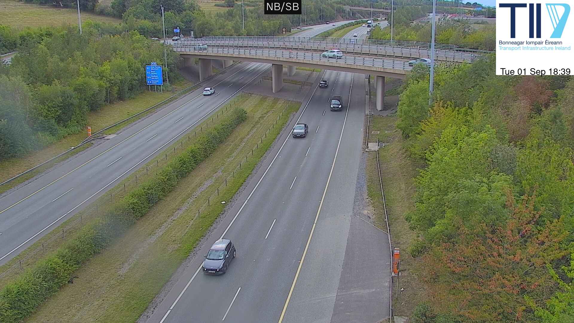
Webcams near Barnaslingan



History around Barnaslingan
- Battle of Clontarf1014
- Battle of Islandbridge919
- 2023 Dublin riot2023
- March for a Better Way2010
- 2010 student protest in Dublin2010
- 2006 Dublin riots2006
- Katrina and the Waves win the Eurovision Song Contest with the song Love Shine a Light, the first time the UK has won the competition since 19811997
- Lansdowne Road football riot1995
Towns near Barnaslingan
- Bray5.5 km away
- Sandyford6.9 km away
- Dún Laoghaire8.7 km away
- Rathfarnham11 km away
- Greystones12 km away
- Dublin14 km away