フォートロック
4,699 ft1,432 m
火山 · ベイスン・アンド・レンジ · アメリカ合衆国
Fort Rock is a tuff ring located on an ice age lake bed in north Lake County, Oregon, United States. The ring is about 4,460 feet (1,360 m) in diameter and stands about 200 feet (60 m) high above the surrounding plain. Its name is derived from the tall, straight sides that resemble the palisades of a fort.
出典: Wikipedia、CC BY-SA · 記事を読む
山頂 · 16:00 の予報
44 °F快晴 · 北西の風 12 mph
 3D で見る
フォートロック 山頂の天気(4,699 ft)
- 16:0044 °F北西 12 mph–
- 19:0035 °F北西 11 mph–
- 22:0031 °F西 11 mph–
- 1:0029 °F西 9 mph–
- 4:0027 °F南西 8 mph–
- 7:0026 °F南 5 mph–
- 10:0035 °F南東 7 mph–
- 13:0044 °F西 11 mph–
| 日付 | 天気 | 最高 / 最低 | 雨 | 最大風速 |
|---|---|---|---|---|
| 10月28日(水) | 晴れ時々曇り | 46 °F / 26 °F | – | 11 mph |
| 10月29日(木) | 曇り | 49 °F / 28 °F | – | 7 mph |
| 10月30日(金) | 晴れ | 47 °F / 29 °F | – | 8 mph |
| 10月31日(土) | 雨 | 41 °F / 30 °F | 0.14 インチ | 7 mph |
| 11月1日(日) | 晴れ | 42 °F / 29 °F | – | 8 mph |
| 11月2日(月) | 晴れ | 48 °F / 28 °F | – | 5 mph |
| 11月3日(火) | 曇り | 51 °F / 32 °F | – | 3 mph |
MET Norway(CC BY 4.0)による予報。12:17 GMT-7 更新。時刻は現地時間です。
基本データ
- 種類
- 火山
- 標高
- 4,699 ft (1,432 m)
- プロミネンス
- 345 ft (105 m)
- 山脈
- ベイスン・アンド・レンジ
- 座標
- 43.372°N 121.074°W
Fort Rock
Rock formation in Oregon, United States
Fort Rock is a tuff ring located on an ice age lake bed in north Lake County, Oregon, United States. The ring is about 4,460 feet (1,360 m) in diameter and stands about 200 feet (60 m) high above the surrounding plain. Its name is derived from the tall, straight sides that resemble the palisades of a fort.
出典: Wikipedia、CC BY-SA · 記事を読む
フォートロック周辺の山
- East Lava Field5,614 ft · 28 km先地図上
- Four Craters Lava Field4,924 ft · 33 km先地図上
- ニューベリー火山7,986 ft · 38 km先地図上
- Hager Mountain7,189 ft · 40 km先地図上
- Yamsay Mountain8,196 ft · 54 km先地図上
- Crack in the Ground火山 · 33 km先地図上
- China Hat火山 · 34 km先地図上
- Paulina Peak山 · 38 km先地図上
- Pine Mountain山 · 50 km先地図上
- Christmas Valley Sand Dunes丘 · 52 km先地図上
ベイスン・アンド・レンジの最高峰
- Diamond Craters4,707 ft地図上
- フォートロック4,699 ft地図上
アメリカ合衆国の高い山
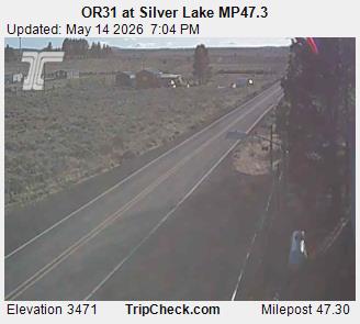
フォートロック周辺のライブカメラ
フォートロック周辺の町
- ベンド79 km先