Kakaramea-Tihia Massif
山 · ニュージーランド
The Kakaramea-Tihia Massif is an andesitic volcano in the central North Island of New Zealand. It extends from the peak of Kakaramea at 1,300 metres (4,300 ft) in the west to the peak of Tinui at 1,169 metres (3,835 ft).
出典: Wikipedia、CC BY-SA · 記事を読む
山頂 · 1:00 の予報
3 °C霧 · 西の風 19 km/h
Kakaramea-Tihia Massifの天気予報
- 1:003 °C西 19 km/h0.2 mm
- 4:002 °C西 19 km/h–
- 7:003 °C西 26 km/h0.1 mm
- 10:006 °C西 26 km/h2.5 mm
- 13:006 °C西 28 km/h4.7 mm
- 16:007 °C西 32 km/h1.4 mm
- 19:005 °C西 32 km/h0.4 mm
- 22:004 °C西 32 km/h–
| 日付 | 天気 | 最高 / 最低 | 雨 | 最大風速 |
|---|---|---|---|---|
| 今日 | 強い雨 | 7 °C / 2 °C | 9.3 mm | 36 km/h |
| 10月31日(土) | 晴れ時々曇り | 11 °C / 2 °C | 0.1 mm | 29 km/h |
| 11月1日(日) | 曇り | 11 °C / 2 °C | 0.7 mm | 17 km/h |
| 11月2日(月) | 雨 | 11 °C / 4 °C | 4.2 mm | 14 km/h |
| 11月3日(火) | 雨 | 13 °C / 8 °C | 7 mm | 5 km/h |
| 11月4日(水) | 小雨 | 13 °C / 9 °C | 5.9 mm | 7 km/h |
| 11月5日(木) | 強い雨 | 13 °C / 9 °C | 11.4 mm | 10 km/h |
MET Norway(CC BY 4.0)による予報。22:19 GMT+13 更新。時刻は現地時間です。
基本データ
- 種類
- 山
- 座標
- 38.989°S 175.708°E
Kakaramea-Tihia Massif
Volcano in New Zealand
The Kakaramea-Tihia Massif is an andesitic volcano in the central North Island of New Zealand. It extends from the peak of Kakaramea at 1,300 metres (4,300 ft) in the west to the peak of Tinui at 1,169 metres (3,835 ft). The term Kakaramea means many colours in Māori and relates to rock/soil colour on parts of the massif so is a common place name in New Zealand.
出典: Wikipedia、CC BY-SA · 記事を読む
Kakaramea-Tihia Massif周辺の山
ニュージーランドの高い山
- クック山3,724 m地図上
- タスマン山3,497 m地図上
- Malte-Brun3,199 m地図上
- Mount Sefton3,151 m地図上
- Mount Elie De Beaumont3,109 m地図上
- La Perouse3,078 m地図上
- Douglas Peak3,077 m地図上
- The Minarets3,040 m地図上
- アスパイアリング山3,033 m地図上
- Mount Hamilton3,025 m地図上
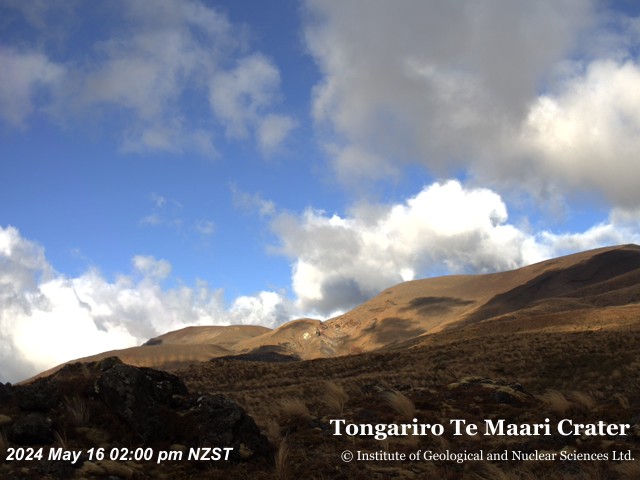
Kakaramea-Tihia Massif周辺のライブカメラ

Kakaramea-Tihia Massif周辺の歴史
Kakaramea-Tihia Massif周辺の町
- タウポ47 km先