Kakaramea-Tihia Massif
Mountain · New Zealand
The Kakaramea-Tihia Massif is an andesitic volcano in the central North Island of New Zealand. It extends from the peak of Kakaramea at 1,300 metres (4,300 ft) in the west to the peak of Tinui at 1,169 metres (3,835 ft).
From Wikipedia, CC BY-SA · Read the article
At the summit · forecast for 5:00 PM
9 °CHeavy rain · wind 27 km/h from the W
Kakaramea-Tihia Massif weather forecast
- 5:00 PM9 °CW 27 km/h4.4 mm
- 8:00 PM6 °CW 26 km/h0.8 mm
- 11:00 PM3 °CW 19 km/h0.1 mm
- 2:00 AM3 °CW 22 km/h–
- 5:00 AM2 °CW 22 km/h–
- 8:00 AM4 °CW 24 km/h0.3 mm
- 11:00 AM7 °CW 32 km/h3.9 mm
- 2:00 PM6 °CW 30 km/h5.3 mm
| Day | Sky | High / low | Rain | Wind up to |
|---|---|---|---|---|
| Fri, Oct 30 | Heavy rain | 7 °C / 2 °C | 10.7 mm | 33 km/h |
| Sat, Oct 31 | Cloudy | 9 °C / 1 °C | 0.4 mm | 27 km/h |
| Sun, Nov 1 | Partly cloudy | 11 °C / 2 °C | 0.7 mm | 12 km/h |
| Mon, Nov 2 | Rain | 14 °C / 7 °C | 4.9 mm | 16 km/h |
| Tue, Nov 3 | Rain | 14 °C / 8 °C | 13.2 mm | 5 km/h |
| Wed, Nov 4 | Cloudy | 13 °C / 9 °C | 3.5 mm | 14 km/h |
| Thu, Nov 5 | Rain | 13 °C / 8 °C | 14.5 mm | 12 km/h |
Forecast by MET Norway (CC BY 4.0), updated 08:18 AM GMT+13. Times are local.
Facts
- What it is
- Mountain
- Country
- New Zealand
- Coordinates
- 38.989°S 175.708°E
- Source
- Wikidata, CC0
Kakaramea-Tihia Massif
Volcano in New Zealand
The Kakaramea-Tihia Massif is an andesitic volcano in the central North Island of New Zealand. It extends from the peak of Kakaramea at 1,300 metres (4,300 ft) in the west to the peak of Tinui at 1,169 metres (3,835 ft). The term Kakaramea means many colours in Māori and relates to rock/soil colour on parts of the massif so is a common place name in New Zealand.
From Wikipedia, CC BY-SA · Read the article
Peaks near Kakaramea-Tihia Massif
- Pihanga1,326 m · 7.8 km awayOn the map
- Mount Tongariro1,978 m · 17 km awayOn the map
- Mount Ngauruhoe2,291 m · 20 km awayOn the map
- Taupō Volcano760 m · 26 km awayOn the map
- Mount Ruapehu2,797 m · 35 km awayOn the map
- Hauhungatahi1,521 m · 35 km awayOn the map
- Ben Lomond744 m · 49 km awayOn the map
- Tauhara1,088 m · 51 km awayOn the map
- Wairakei493 m · 53 km awayOn the map
- OtukouHill · 7.7 km awayOn the map
Highest mountains in New Zealand
- Aoraki / Mount Cook3,724 mOn the map
- Mount Tasman3,497 mOn the map
- Malte-Brun3,199 mOn the map
- Mount Sefton3,151 mOn the map
- Mount Elie De Beaumont3,109 mOn the map
- La Perouse3,078 mOn the map
- Douglas Peak3,077 mOn the map
- The Minarets3,040 mOn the map
- Mount Aspiring / Tititea3,033 mOn the map
- Mount Hamilton3,025 mOn the map
Webcams near Kakaramea-Tihia Massif
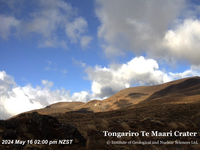

History around Kakaramea-Tihia Massif
Towns near Kakaramea-Tihia Massif
- Taupo47 km away