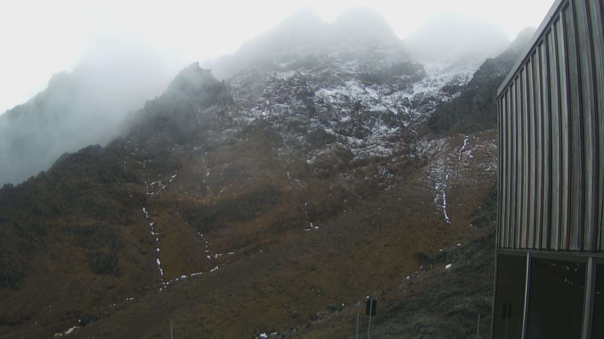
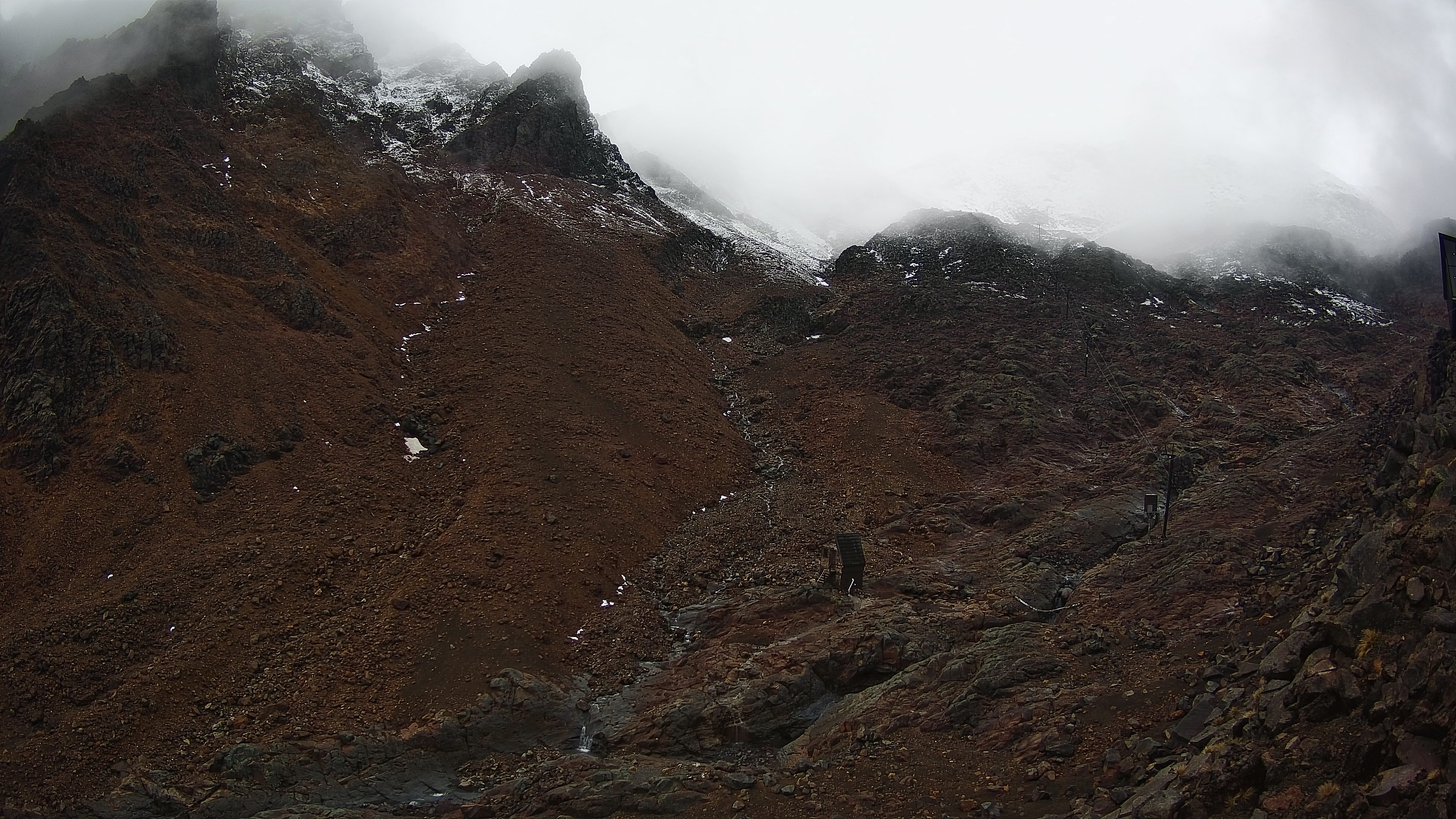
Mount Ruapehu
2,797 m9,177 ft
Volcano · North Island Volcanic Plateau · New Zealand
Mount Ruapehu is an active stratovolcano at the southern end of the Taupō Volcanic Zone and North Island volcanic plateau in New Zealand. It is 23 km (14 mi) northeast of Ohakune and 23 km (14 mi) southwest of the southern shore of Lake Taupō, within Tongariro National Park.
From Wikipedia, CC BY-SA · Read the article
The highest point of North Island Volcanic Plateau
At the summit · forecast for 7:00 PM
-3 °CClear · wind 18 km/h from the SW
 See it in 3D
Weather at the summit of Mount Ruapehu, 2,797 m
- 7:00 PM-3 °CSW 18 km/h–
- 10:00 PM-7 °CW 14 km/h–
- 1:00 AM-8 °CW 14 km/h–
- 4:00 AM-8 °CW 15 km/h–
- 7:00 AM-7 °CW 15 km/h–
- 10:00 AM-3 °CW 19 km/h–
- 1:00 PM-2 °CW 24 km/h1.1 mm
- 4:00 PM-3 °CNW 26 km/h1.7 mm
| Day | Sky | High / low | Rain | Wind up to |
|---|---|---|---|---|
| Wed, Oct 28 | Light snow | -2 °C / -9 °C | 4.1 mm | 27 km/h |
| Thu, Oct 29 | Heavy snow | -2 °C / -8 °C | 23.3 mm | 36 km/h |
| Fri, Oct 30 | Snow | -2 °C / -9 °C | 7.6 mm | 30 km/h |
| Sat, Oct 31 | Clear | -1 °C / -10 °C | 0.1 mm | 18 km/h |
| Sun, Nov 1 | Partly cloudy | 2 °C / -7 °C | 0.5 mm | 9 km/h |
| Mon, Nov 2 | Cloudy | 0 °C / -5 °C | 0.4 mm | 10 km/h |
| Tue, Nov 3 | Partly cloudy | 2 °C / -5 °C | 0.1 mm | 9 km/h |
Forecast by MET Norway (CC BY 4.0), updated 02:17 PM GMT+13. Times are local.
Facts
- What it is
- Volcano
- Height above sea level
- 2,797 m (9,177 ft)
- Prominence
- 2,797 m (9,177 ft)
- Isolation
- 341 km to higher ground
- Range
- North Island Volcanic Plateau
- Parent peak
- Aoraki / Mount Cook
- Country
- New Zealand
- First ascent
- 1879
- Highest point of
- North Island Volcanic Plateau
- Coordinates
- 39.282°S 175.569°E
- Volcano number
- 241100 at the Global Volcanism Program
- Source
- Wikidata, CC0
Mount Ruapehu
Volcano in New Zealand
Mount Ruapehu is an active stratovolcano at the southern end of the Taupō Volcanic Zone and North Island volcanic plateau in New Zealand. It is 23 km (14 mi) northeast of Ohakune and 23 km (14 mi) southwest of the southern shore of Lake Taupō, within Tongariro National Park. The North Island's major ski resorts and only glaciers are on its slopes.
From Wikipedia, CC BY-SA · Read the article
67 recorded eruptions
- Eruption in 2007
- Eruption in 2006
- Eruption in 1997
- Eruption in 1996
- Eruption in 1996
- Eruption in 1995
- Eruption in 1994
- Eruption in 1992
- Eruption in 1991
- Eruption in 1990
- Eruption in 1990
- Eruption in 1989
The latest 12 of 67, from the Smithsonian’s Global Volcanism Program through History.
Peaks near Mount Ruapehu
- Hauhungatahi1,521 m · 12 km awayOn the map
- Mount Ngauruhoe2,291 m · 15 km awayOn the map
- Mount Tongariro1,978 m · 18 km awayOn the map
- Pihanga1,326 m · 32 km awayOn the map
- OtukouHill · 28 km awayOn the map
- Kakaramea-Tihia MassifMountain · 35 km awayOn the map
Parent peak
The nearest higher peak its prominence is measured to.
Peaks below Mount Ruapehu
- Taranaki Maunga2,518 mOn the map
Highest in the North Island Volcanic Plateau
- Mount Ruapehu2,797 mOn the map
- Mount Ngauruhoe2,291 mOn the map
- Mount Tongariro1,978 mOn the map
- Taupō Volcano760 mOn the map
Highest mountains in New Zealand
- Aoraki / Mount Cook3,724 mOn the map
- Mount Tasman3,497 mOn the map
- Malte-Brun3,199 mOn the map
- Mount Sefton3,151 mOn the map
- Mount Elie De Beaumont3,109 mOn the map
- La Perouse3,078 mOn the map
- Douglas Peak3,077 mOn the map
- The Minarets3,040 mOn the map
- Mount Aspiring / Tititea3,033 mOn the map
- Mount Hamilton3,025 mOn the map