Kakaramea-Tihia Massif
山 · 新西兰
The Kakaramea-Tihia Massif is an andesitic volcano in the central North Island of New Zealand. It extends from the peak of Kakaramea at 1,300 metres (4,300 ft) in the west to the peak of Tinui at 1,169 metres (3,835 ft).
来自Wikipedia,CC BY-SA · 阅读文章
山顶 · 0:00 的预报
3 °C小雨 · 西风 21 km/h
Kakaramea-Tihia Massif天气预报
- 0:003 °C西 21 km/h0.1 mm
- 3:002 °C西 22 km/h–
- 6:003 °C西 23 km/h–
- 9:005 °C西 26 km/h1.3 mm
- 12:006 °C西 32 km/h5.7 mm
- 15:006 °C西 31 km/h3.8 mm
- 18:006 °C西 32 km/h0.7 mm
- 21:004 °C西 32 km/h–
| 日期 | 天气 | 最高 / 最低 | 雨 | 最大风速 |
|---|---|---|---|---|
| 今天 | 大雨 | 7 °C / 2 °C | 11.6 mm | 33 km/h |
| 10月31日周六 | 多云 | 11 °C / 1 °C | 0.1 mm | 28 km/h |
| 11月1日周日 | 阴 | 11 °C / 0 °C | 0.2 mm | 9 km/h |
| 11月2日周一 | 中雨 | 11 °C / 4 °C | 4.2 mm | 14 km/h |
| 11月3日周二 | 中雨 | 13 °C / 8 °C | 7 mm | 5 km/h |
| 11月4日周三 | 小雨 | 13 °C / 9 °C | 5.9 mm | 7 km/h |
| 11月5日周四 | 大雨 | 13 °C / 9 °C | 11.4 mm | 10 km/h |
预报来自 MET Norway(CC BY 4.0),更新于 GMT+13 14:17。时间均为当地时间。
基本信息
Kakaramea-Tihia Massif
Volcano in New Zealand
The Kakaramea-Tihia Massif is an andesitic volcano in the central North Island of New Zealand. It extends from the peak of Kakaramea at 1,300 metres (4,300 ft) in the west to the peak of Tinui at 1,169 metres (3,835 ft). The term Kakaramea means many colours in Māori and relates to rock/soil colour on parts of the massif so is a common place name in New Zealand.
来自Wikipedia,CC BY-SA · 阅读文章
Kakaramea-Tihia Massif附近的山峰
新西兰最高的山
- 庫克山3,724 米地图上
- Mount Tasman3,497 米地图上
- Malte-Brun3,199 米地图上
- 塞夫頓山3,151 米地图上
- Mount Elie De Beaumont3,109 米地图上
- La Perouse3,078 米地图上
- Douglas Peak3,077 米地图上
- The Minarets3,040 米地图上
- 阿斯帕林山3,033 米地图上
- Mount Hamilton3,025 米地图上
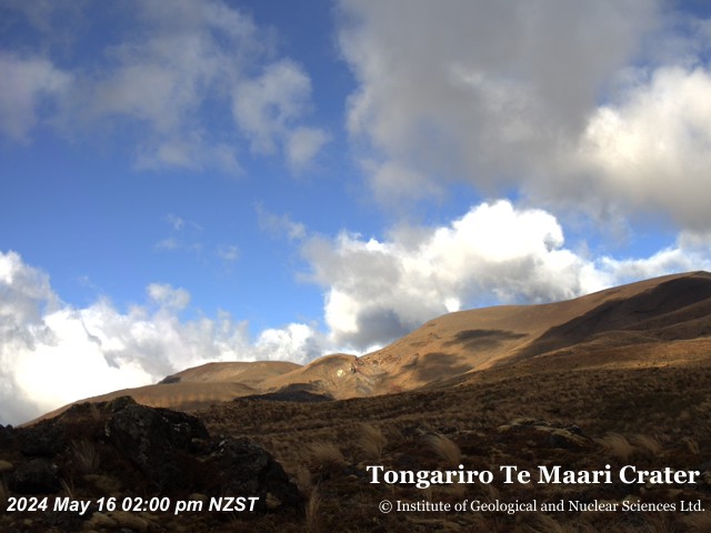
Kakaramea-Tihia Massif附近的网络摄像头

Kakaramea-Tihia Massif周边的历史
Kakaramea-Tihia Massif附近的城镇
- 陶波47 公里外