Laurel Hill
丘 · アメリカ合衆国
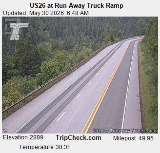
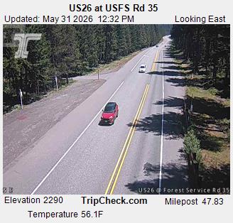
Laurel Hill was a hill on the Barlow Road of the Oregon Trail. It was one of the steepest descents of any on the Oregon Trail. Travelers considered it the worst part of the entire Oregon Trail, and had to either drag trees behind their wagons for braking or winch using ropes or chains.
出典: Wikipedia、CC BY-SA · 記事を読む
山頂 · 13:00 の予報
41 °F雨 · 西の風 10 mph
Laurel Hillの天気予報
- 13:0041 °F西 10 mph0.06 インチ
- 16:0040 °F西 11 mph0.04 インチ
- 19:0038 °F西 13 mph0.03 インチ
- 22:0038 °F南西 12 mph0.02 インチ
- 1:0038 °F南西 12 mph0.09 インチ
- 4:0037 °F南西 11 mph0.07 インチ
- 7:0038 °F南西 10 mph0.1 インチ
- 10:0038 °F南西 9 mph0.09 インチ
| 日付 | 天気 | 最高 / 最低 | 雨 | 最大風速 |
|---|---|---|---|---|
| 10月28日(水) | 雨 | 40 °F / 35 °F | 0.5 インチ | 12 mph |
| 10月29日(木) | 曇り | 45 °F / 32 °F | 0.11 インチ | 7 mph |
| 10月30日(金) | 晴れ時々曇り | 41 °F / 31 °F | 0.03 インチ | 5 mph |
| 10月31日(土) | 曇り | 44 °F / 30 °F | 0.03 インチ | 6 mph |
| 11月1日(日) | 曇り | 41 °F / 33 °F | 0 インチ | 7 mph |
| 11月2日(月) | 晴れ時々曇り | 47 °F / 36 °F | – | 11 mph |
| 11月3日(火) | 晴れ | 59 °F / 39 °F | – | 9 mph |
MET Norway(CC BY 4.0)による予報。06:17 GMT-7 更新。時刻は現地時間です。
基本データ
- 種類
- 丘
- 座標
- 45.307°N 121.818°W
Laurel Hill (Oregon)
Hill on the Barlow Road
Laurel Hill was a hill on the Barlow Road of the Oregon Trail. It was one of the steepest descents of any on the Oregon Trail. Travelers considered it the worst part of the entire Oregon Trail, and had to either drag trees behind their wagons for braking or winch using ropes or chains. The name came from travelers mistaking rhododendrons as laurels.
出典: Wikipedia、CC BY-SA · 記事を読む
Laurel Hill周辺の山
- フッド山11,237 ft · 12 km先地図上
- Tumala Mountain4,773 ft · 19 km先地図上
- Lookout Mountain6,536 ft · 23 km先地図上
- Larch Mountain4,061 ft · 33 km先地図上
- テーブル・マウンテン (ワシントン州)3,417 ft · 45 km先地図上
- ドッグ山2,948 ft · 46 km先地図上
- グリーンリーフ山3,422 ft · 47 km先地図上
- Powell Butte614 ft · 57 km先地図上
- Silver Star Mountain4,364 ft · 59 km先地図上
- Battle Ax5,566 ft · 59 km先地図上