Laurel Hill
丘陵 · 美国
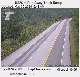
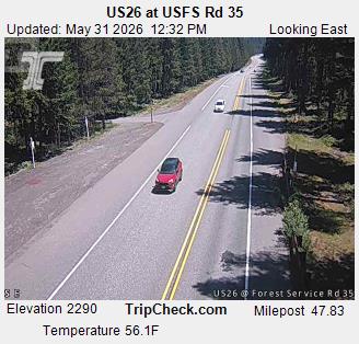
Laurel Hill was a hill on the Barlow Road of the Oregon Trail. It was one of the steepest descents of any on the Oregon Trail. Travelers considered it the worst part of the entire Oregon Trail, and had to either drag trees behind their wagons for braking or winch using ropes or chains.
来自Wikipedia,CC BY-SA · 阅读文章
山顶 · 13:00 的预报
42 °F中雨 · 西风 11 英里/小时
Laurel Hill天气预报
- 13:0042 °F西 11 英里/小时0.06 英寸
- 16:0041 °F西 11 英里/小时0.07 英寸
- 19:0039 °F西 14 英里/小时0.02 英寸
- 22:0038 °F西 13 英里/小时0.01 英寸
- 1:0038 °F西南 12 英里/小时0.08 英寸
- 4:0038 °F西南 11 英里/小时0.1 英寸
- 7:0038 °F西 11 英里/小时0.12 英寸
- 10:0038 °F西 10 英里/小时0.1 英寸
| 日期 | 天气 | 最高 / 最低 | 雨 | 最大风速 |
|---|---|---|---|---|
| 10月28日周三 | 中雨 | 39 °F / 34 °F | 0.52 英寸 | 13 英里/小时 |
| 10月29日周四 | 阴 | 46 °F / 32 °F | 0.01 英寸 | 8 英里/小时 |
| 10月30日周五 | 多云 | 41 °F / 31 °F | 0.15 英寸 | 7 英里/小时 |
| 10月31日周六 | 阴 | 44 °F / 30 °F | 0.03 英寸 | 6 英里/小时 |
| 11月1日周日 | 阴 | 41 °F / 33 °F | 0 英寸 | 7 英里/小时 |
| 11月2日周一 | 多云 | 47 °F / 36 °F | – | 11 英里/小时 |
| 11月3日周二 | 少云 | 59 °F / 39 °F | – | 9 英里/小时 |
预报来自 MET Norway(CC BY 4.0),更新于 GMT-7 12:17。时间均为当地时间。
基本信息
Laurel Hill (Oregon)
Hill on the Barlow Road
Laurel Hill was a hill on the Barlow Road of the Oregon Trail. It was one of the steepest descents of any on the Oregon Trail. Travelers considered it the worst part of the entire Oregon Trail, and had to either drag trees behind their wagons for braking or winch using ropes or chains. The name came from travelers mistaking rhododendrons as laurels.
来自Wikipedia,CC BY-SA · 阅读文章
Laurel Hill附近的山峰
- 胡德山11,237 英尺 · 12 公里外地图上
- Tumala Mountain4,773 英尺 · 19 公里外地图上
- Lookout Mountain6,536 英尺 · 23 公里外地图上
- Larch Mountain4,061 英尺 · 33 公里外地图上
- Table Mountain3,417 英尺 · 45 公里外地图上
- Dog Mountain2,948 英尺 · 46 公里外地图上
- Greenleaf Peak3,422 英尺 · 47 公里外地图上
- Powell Butte614 英尺 · 57 公里外地图上
- 銀星山4,364 英尺 · 59 公里外地图上
- Battle Ax5,566 英尺 · 59 公里外地图上