Laurel Hill
Colina · Estados Unidos
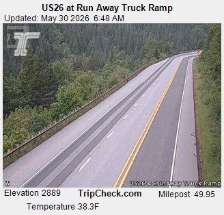
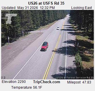
Laurel Hill was a hill on the Barlow Road of the Oregon Trail. It was one of the steepest descents of any on the Oregon Trail. Travelers considered it the worst part of the entire Oregon Trail, and had to either drag trees behind their wagons for braking or winch using ropes or chains.
Da Wikipedia, CC BY-SA · Ler o artigo
No cume · previsão para 3:00
35 °FNevoeiro · vento de 4 mph de SE
Previsão do tempo em Laurel Hill
- 3:0035 °FSE 4 mph–
- 6:0034 °FSE 4 mph–
- 9:0037 °FSE 6 mph–
- 12:0044 °FS 6 mph–
- 15:0044 °FSO 6 mph0,01 pol.
- 18:0038 °FL 2 mph–
- 21:0036 °FL 7 mph–
- 0:0038 °FL 8 mph0,01 pol.
| Dia | Céu | Máx. / mín. | Chuva | Vento até |
|---|---|---|---|---|
| Hoje | Nublado | 46 °F / 33 °F | 0,01 pol. | 8 mph |
| sex., 30 de out. | Chuva fraca | 43 °F / 33 °F | 0,06 pol. | 8 mph |
| sáb., 31 de out. | Nublado | 48 °F / 32 °F | 0,01 pol. | 11 mph |
| dom., 1 de nov. | Céu limpo | 46 °F / 36 °F | – | 4 mph |
| seg., 2 de nov. | Céu limpo | 51 °F / 36 °F | – | 10 mph |
| ter., 3 de nov. | Parcialmente nublado | 59 °F / 44 °F | – | 8 mph |
| qua., 4 de nov. | Nublado | 55 °F / 40 °F | – | 11 mph |
Previsão: MET Norway (CC BY 4.0), atualizada às 00:18 GMT-7. Horários locais.
Ficha técnica
- Tipo
- Colina
- País
- Estados Unidos
- Coordenadas
- 45.307°N 121.818°W
- Fonte
- Wikidata, CC0
Laurel Hill (Oregon)
Hill on the Barlow Road
Laurel Hill was a hill on the Barlow Road of the Oregon Trail. It was one of the steepest descents of any on the Oregon Trail. Travelers considered it the worst part of the entire Oregon Trail, and had to either drag trees behind their wagons for braking or winch using ropes or chains. The name came from travelers mistaking rhododendrons as laurels.
Da Wikipedia, CC BY-SA · Ler o artigo
Picos perto de Laurel Hill
- Monte Hood11.237 pés · a 12 kmNo mapa
- Tumala Mountain4.773 pés · a 19 kmNo mapa
- Lookout Mountain6.536 pés · a 23 kmNo mapa
- Larch Mountain4.061 pés · a 33 kmNo mapa
- Table Mountain3.417 pés · a 45 kmNo mapa
- Dog Mountain2.948 pés · a 46 kmNo mapa
- Greenleaf Peak3.422 pés · a 47 kmNo mapa
- Powell Butte614 pés · a 57 kmNo mapa
- Silver Star Mountain4.364 pés · a 59 kmNo mapa
- Battle Ax5.566 pés · a 59 kmNo mapa
Montanhas mais altas de Estados Unidos
- Monte Denali20.308 pésNo mapa
- Monte Santo Elias18.009 pésNo mapa
- Monte Foraker17.402 pésNo mapa
- Mount Bona16.535 pésNo mapa
- Monte Blackburn16.390 pésNo mapa
- Monte Sanford16.237 pésNo mapa
- Monte Vancouver15.787 pésNo mapa
- Monte Churchill15.636 pésNo mapa
- Monte Fairweather15.325 pésNo mapa
- Monte Hubbard14.951 pésNo mapa