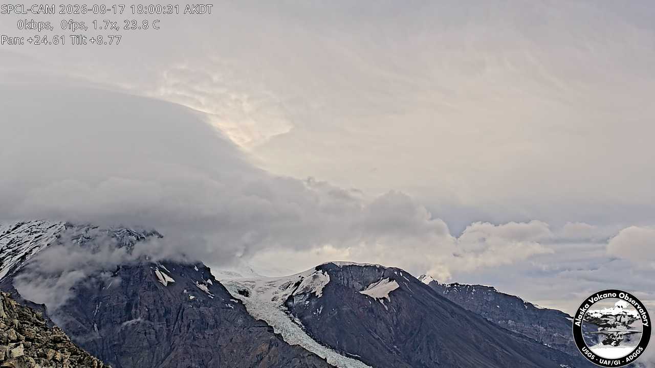
Mount Nagishlamina
山 · トードリロ山脈 · アメリカ合衆国
Mount Nagishlamina is an 11,068-foot glaciated mountain summit located in the Tordrillo Mountains of the Alaska Range, in the US state of Alaska.
出典: Wikipedia、CC BY-SA · 記事を読む
山頂 · 18:00 の予報
15 °F晴れ · 西の風 4 mph
 3D で見る
Mount Nagishlaminaの天気予報
- 18:0015 °F西 4 mph–
- 21:0015 °F西 4 mph–
- 0:0013 °F南西 4 mph–
- 3:0012 °F南西 4 mph–
- 6:0011 °F南 4 mph–
- 9:008 °F南 6 mph–
- 12:007 °F南 8 mph–
- 15:007 °F南 7 mph–
| 日付 | 天気 | 最高 / 最低 | 雨 | 最大風速 |
|---|---|---|---|---|
| 10月28日(水) | 晴れ時々曇り | 13 °F / 6 °F | 0.14 インチ | 8 mph |
| 10月29日(木) | 雪 | 14 °F / 10 °F | 0.52 インチ | 9 mph |
| 10月30日(金) | 雪 | 11 °F / 3 °F | 0.76 インチ | 7 mph |
| 10月31日(土) | 曇り | 5 °F / 0 °F | 0.03 インチ | 2 mph |
| 11月1日(日) | 晴れ | 1 °F / -4 °F | – | 2 mph |
| 11月2日(月) | 雪 | 6 °F / -3 °F | 0.25 インチ | 4 mph |
| 11月3日(火) | 曇り | 6 °F / -0 °F | 0.98 インチ | 6 mph |
MET Norway(CC BY 4.0)による予報。17:17 GMT-8 更新。時刻は現地時間です。
基本データ
- 種類
- 山
- 山脈
- トードリロ山脈
- 座標
- 61.385°N 152.387°W
Mount Nagishlamina
Mountain in Alaska, United States
Mount Nagishlamina is an 11,068-foot glaciated mountain summit located in the Tordrillo Mountains of the Alaska Range, in the US state of Alaska. The mountain is situated 90 mi (145 km) west of Anchorage, 7.4 mi (12 km) northwest of Mount Spurr, and 1.9 mi (3 km) southeast of Mount Torbert, which is the nearest higher neighbor. It is the fifth-highest peak in the Tordrillo Mountains, a subset of the Alaska Range.
出典: Wikipedia、CC BY-SA · 記事を読む
Mount Nagishlamina周辺の山
- Mount Torbert11,266 ft · 3 km先地図上
- Mount Chichantna10,892 ft · 8.2 km先地図上
- スパー山11,070 ft · 12 km先地図上
- Ch'akajabena Mountain7,530 ft · 25 km先地図上
- Hayes Volcano9,147 ft · 28 km先地図上
- The Rowel山 · 13 km先地図上
- Mount Gerdine山 · 22 km先地図上
- Black Peak山 · 59 km先地図上
トードリロ山脈の最高峰
- Mount Torbert11,266 ft地図上
- スパー山11,070 ft地図上
- Mount Chichantna10,892 ft地図上
- Hayes Volcano9,147 ft地図上