Mount Nagishlamina
Mountain · Tordrillo Mountains · United States
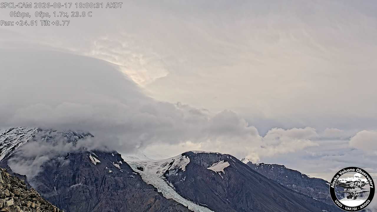
Mount Nagishlamina is an 11,068-foot glaciated mountain summit located in the Tordrillo Mountains of the Alaska Range, in the US state of Alaska.
From Wikipedia, CC BY-SA · Read the article
At the summit · forecast for 3:00 PM
16 °FClear · wind 4 mph from the W
 See it in 3D
Mount Nagishlamina weather forecast
- 3:00 PM16 °FW 4 mph–
- 6:00 PM15 °FW 4 mph–
- 9:00 PM14 °FW 4 mph–
- 12:00 AM13 °FSW 4 mph–
- 3:00 AM12 °FSW 4 mph–
- 6:00 AM11 °FS 4 mph–
- 9:00 AM8 °FS 6 mph–
- 12:00 PM7 °FS 8 mph–
| Day | Sky | High / low | Rain | Wind up to |
|---|---|---|---|---|
| Wed, Oct 28 | Mostly clear | 13 °F / 6 °F | 0.14 in | 8 mph |
| Thu, Oct 29 | Snow | 14 °F / 9 °F | 0.57 in | 10 mph |
| Fri, Oct 30 | Snow | 10 °F / 2 °F | 0.69 in | 7 mph |
| Sat, Oct 31 | Cloudy | 4 °F / 1 °F | 0.04 in | 2 mph |
| Sun, Nov 1 | Clear | 0 °F / -3 °F | 0 in | 2 mph |
| Mon, Nov 2 | Heavy snow | 6 °F / 1 °F | 0.86 in | 4 mph |
| Tue, Nov 3 | Snow | 7 °F / 3 °F | 1.41 in | 8 mph |
Forecast by MET Norway (CC BY 4.0), updated 11:17 AM AKDT. Times are local.
Facts
- What it is
- Mountain
- Range
- Tordrillo Mountains
- Country
- United States
- Coordinates
- 61.385°N 152.387°W
- Source
- Wikidata, CC0
Mount Nagishlamina
Mountain in Alaska, United States
Mount Nagishlamina is an 11,068-foot glaciated mountain summit located in the Tordrillo Mountains of the Alaska Range, in the US state of Alaska. The mountain is situated 90 mi (145 km) west of Anchorage, 7.4 mi (12 km) northwest of Mount Spurr, and 1.9 mi (3 km) southeast of Mount Torbert, which is the nearest higher neighbor. It is the fifth-highest peak in the Tordrillo Mountains, a subset of the Alaska Range.
From Wikipedia, CC BY-SA · Read the article
Peaks near Mount Nagishlamina
- Mount Torbert11,266 ft · 3 km awayOn the map
- Mount Chichantna10,892 ft · 8.2 km awayOn the map
- Mount Spurr11,070 ft · 12 km awayOn the map
- Ch'akajabena Mountain7,530 ft · 25 km awayOn the map
- Hayes Volcano9,147 ft · 28 km awayOn the map
- The RowelMountain · 13 km awayOn the map
- Mount GerdineMountain · 22 km awayOn the map
- Black PeakMountain · 59 km awayOn the map
Highest in the Tordrillo Mountains
- Mount Torbert11,266 ftOn the map
- Mount Spurr11,070 ftOn the map
- Mount Chichantna10,892 ftOn the map
- Hayes Volcano9,147 ftOn the map
Highest mountains in United States
- Denali20,308 ftOn the map
- Mount Saint Elias18,009 ftOn the map
- Mount Foraker17,402 ftOn the map
- Mount Bona16,535 ftOn the map
- Mount Blackburn16,390 ftOn the map
- Mount Sanford16,237 ftOn the map
- Mount Vancouver15,787 ftOn the map
- Mount Churchill15,636 ftOn the map
- Mount Fairweather15,325 ftOn the map
- Mount Hubbard14,951 ftOn the map