Mountains in United States
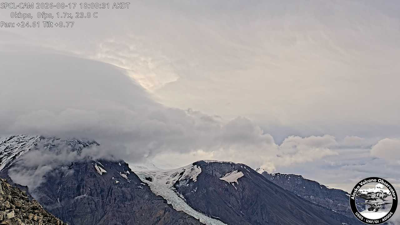
Mount Spurr
11,070 ft3,374 m
Volcano · Tordrillo Mountains · United States
Mount Spurr (Dena'ina: K'idazq'eni) is a stratovolcano in the Aleutian Arc of Alaska, named after United States Geological Survey geologist and explorer Josiah Edward Spurr, who led an expedition to the area in 1898. The Alaska Volcano Observatory (AVO) rates Mount Spurr as Level of Concern Color Code Yellow.
From Wikipedia, CC BY-SA · Read the article
 See it in 3D
Facts
- What it is
- Volcano
- Height above sea level
- 11,070 ft (3,374 m)
- Prominence
- 1,919 ft (585 m)
- Range
- Tordrillo Mountains
- Parent peak
- Mount Torbert
- Country
- United States
- First ascent
- 1960
- Coordinates
- 61.300°N 152.251°W
- Volcano number
- 313040 at the Global Volcanism Program
- Source
- Wikidata, CC0
7 recorded eruptions
Peaks near Mount Spurr
- Mount Chichantna10,892 ft · 3.9 km awayOn the map
- Mount Torbert11,266 ft · 15 km awayOn the map
- Ch'akajabena Mountain7,530 ft · 18 km awayOn the map
- Hayes Volcano9,147 ft · 39 km awayOn the map
- The RowelMountain · 3.2 km awayOn the map
- Mount NagishlaminaMountain · 12 km awayOn the map
- Mount GerdineMountain · 33 km awayOn the map
- Black PeakMountain · 51 km awayOn the map
Parent peak
The nearest higher peak its prominence is measured to.
- Mount Torbert11,266 ftOn the map
Highest in the Tordrillo Mountains
- Mount Torbert11,266 ftOn the map
- Mount Spurr11,070 ftOn the map
- Mount Chichantna10,892 ftOn the map
- Hayes Volcano9,147 ftOn the map
Highest mountains in United States
- Denali20,308 ftOn the map
- Mount Saint Elias18,009 ftOn the map
- Mount Foraker17,402 ftOn the map
- Mount Bona16,535 ftOn the map
- Mount Blackburn16,390 ftOn the map
- Mount Sanford16,237 ftOn the map
- Mount Vancouver15,787 ftOn the map
- Mount Churchill15,636 ftOn the map
- Mount Fairweather15,325 ftOn the map
- Mount Hubbard14,951 ftOn the map