Schneefernerkopf
2,874 m9,429 ft
山 · ヴェターシュタイン · ドイツ · オーストリア
The Schneefernerkopf is a 2,875-metre-high (9,432 ft) peak in the Zugspitze massif in the Alps. It lies at the western end of the Wetterstein chain in the Alps on the border between the German state of Bavaria and the Austrian state of Tyrol.
出典: Wikipedia、CC BY-SA · 記事を読む
山頂 · 1:00 の予報
-7 °C晴れ時々曇り · 南西の風 6 km/h
 3D で見る
Schneefernerkopf 山頂の天気(2,874 m)
- 1:00-7 °C南西 6 km/h–
- 4:00-5 °C南 6 km/h–
- 7:00-6 °C南東 6 km/h–
- 10:002 °C南 6 km/h–
- 13:007 °C南東 3 km/h–
- 16:006 °C北東 3 km/h–
- 19:00-0 °C北西 2 km/h–
- 22:00-3 °C西 3 km/h–
| 日付 | 天気 | 最高 / 最低 | 雨 | 最大風速 |
|---|---|---|---|---|
| 今日 | 快晴 | 7 °C / -7 °C | – | 8 km/h |
| 10月28日(水) | 雪 | -1 °C / -7 °C | 2.8 mm | 7 km/h |
| 10月29日(木) | 晴れ | 0 °C / -7 °C | – | 7 km/h |
| 10月30日(金) | 快晴 | 1 °C / -11 °C | – | 5 km/h |
| 10月31日(土) | 快晴 | 3 °C / -12 °C | – | 3 km/h |
| 11月1日(日) | 快晴 | 3 °C / -12 °C | – | 3 km/h |
| 11月2日(月) | 快晴 | -0 °C / -9 °C | – | 5 km/h |
MET Norway(CC BY 4.0)による予報。00:20 GMT+1 更新。時刻は現地時間です。
基本データ
- 種類
- 山
- 標高
- 2,874 m (9,429 ft)
- プロミネンス
- 176 m (577 ft)
- 山脈
- ヴェターシュタイン
- 親ピーク
- ツークシュピッツェ
- 初登頂
- 1871
- 座標
- 47.409°N 10.970°E
Schneefernerkopf
Peak in the Zugspitze massif in the Alps
The Schneefernerkopf is a 2,875-metre-high (9,432 ft) peak in the Zugspitze massif in the Alps. It lies at the western end of the Wetterstein chain in the Alps on the border between the German state of Bavaria and the Austrian state of Tyrol. It is the dominant mountain in the Wetterstein, especially when viewed from Ehrwald.
出典: Wikipedia、CC BY-SA · 記事を読む
Schneefernerkopf周辺の山
- ツークシュピッツェ2,962 m · 1.8 km先地図上
- Hochwanner2,744 m · 6.6 km先地図上
- Daniel2,340 m · 7.2 km先地図上
- Thaneller2,341 m · 19 km先地図上
- Gehrenspitze2,163 m · 26 km先地図上
- Kellenspitze2,238 m · 27 km先地図上
- Gimpel2,173 m · 29 km先地図上
- Rote Flüh2,108 m · 29 km先地図上
- ノルトケッテ2,637 m · 31 km先地図上
- Leilachspitze2,274 m · 32 km先地図上
親ピーク
ヴェターシュタインの最高峰
- ツークシュピッツェ2,962 m地図上
- Schneefernerkopf2,874 m地図上
- Hochwanner2,744 m地図上
- Dreitorspitze2,682 m地図上
- Hohe Munde2,662 m地図上
- Wannig2,493 m地図上
- Tschirgant2,370 m地図上
ドイツの高い山
- ツークシュピッツェ2,962 m地図上
- Schneefernerkopf2,874 m地図上
- Hochwanner2,744 m地図上
- Dreitorspitze2,682 m地図上
- ホッホカルター2,607 m地図上
- Biberkopf2,599 m地図上
- Großer Hundstod2,594 m地図上
- Hochvogel2,592 m地図上
- Östliche Karwendelspitze2,538 m地図上
- Hocheisspitze2,523 m地図上
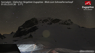
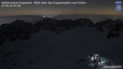
Schneefernerkopf周辺のライブカメラ

Schneefernerkopf周辺の歴史
Schneefernerkopf周辺の町
- Garmisch-Partenkirchen13 km先
- Telfs14 km先
- Füssen27 km先
- Innsbruck36 km先
- Penzberg49 km先
- Marktoberdorf49 km先