Signal Peak
10,369 ft3,161 m
山 · Pine Valley Mountains · アメリカ合衆国
Signal Peak, with an elevation of 10,369 feet (3,160 m), is the highest peak in the Pine Valley Mountains and in Washington County in southwestern Utah, United States. Signal Peak is located north of the city of St. George and south of the community of Pine Valley in the Dixie National Forest.
出典: Wikipedia、CC BY-SA · 記事を読む
Pine Valley Mountainsの最高地点
山頂 · 7:00 の予報
31 °F晴れ時々曇り · 東の風 5 mph
 3D で見る
Signal Peak 山頂の天気(10,369 ft)
- 7:0031 °F東 5 mph–
- 10:0038 °F南東 7 mph–
- 13:0041 °F南東 9 mph–
- 16:0042 °F南 8 mph–
- 19:0034 °F北 4 mph–
- 22:0035 °F東 5 mph–
- 1:0034 °F東 6 mph–
- 4:0033 °F東 6 mph–
| 日付 | 天気 | 最高 / 最低 | 雨 | 最大風速 |
|---|---|---|---|---|
| 今日 | 晴れ時々曇り | 42 °F / 30 °F | – | 9 mph |
| 10月29日(木) | 晴れ時々曇り | 43 °F / 31 °F | – | 9 mph |
| 10月30日(金) | 雨 | 37 °F / 31 °F | 0.23 インチ | 13 mph |
| 10月31日(土) | みぞれ | 35 °F / 30 °F | 0.54 インチ | 6 mph |
| 11月1日(日) | 大雪 | 32 °F / 22 °F | 1.35 インチ | 8 mph |
| 11月2日(月) | 晴れ時々曇り | 29 °F / 21 °F | – | 10 mph |
| 11月3日(火) | 快晴 | 39 °F / 22 °F | – | 8 mph |
MET Norway(CC BY 4.0)による予報。23:21 GMT-6 更新。時刻は現地時間です。
基本データ
- 種類
- 山
- 標高
- 10,369 ft (3,161 m)
- プロミネンス
- 4,485 ft (1,367 m)
- 山脈
- Pine Valley Mountains
- 最高地点となる場所
- Pine Valley Mountains
- 座標
- 37.320°N 113.492°W
Signal Peak (Utah)
Mountain in the American state of Utah
Signal Peak, with an elevation of 10,369 feet (3,160 m), is the highest peak in the Pine Valley Mountains and in Washington County in southwestern Utah, United States. Signal Peak is located north of the city of St. George and south of the community of Pine Valley in the Dixie National Forest. The summit is the highest point in the Pine Valley Mountain Wilderness.
出典: Wikipedia、CC BY-SA · 記事を読む
Signal Peak周辺の山
- Paria Point6,949 ft · 32 km先地図上
- Beatty Point7,766 ft · 32 km先地図上
- Nagunt Mesa7,789 ft · 32 km先地図上
- Tucupit Point7,087 ft · 32 km先地図上
- Cave Knoll6,486 ft · 34 km先地図上
- Horse Ranch Mountain8,743 ft · 34 km先地図上
- Tabernacle Dome6,424 ft · 35 km先地図上
- Pine Valley Peak7,395 ft · 37 km先地図上
- South Guardian Angel7,126 ft · 38 km先地図上
- North Guardian Angel7,395 ft · 38 km先地図上
アメリカ合衆国の高い山
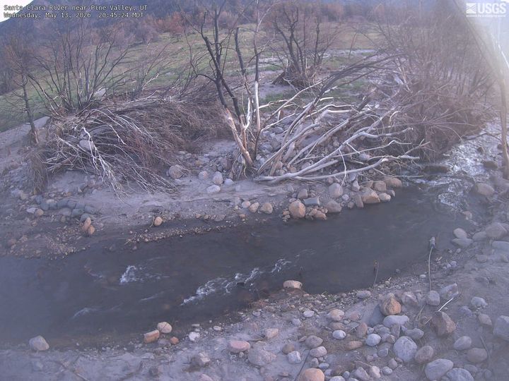
Signal Peak周辺のライブカメラ
Signal Peak周辺の歴史
- West Valley Fire2018
Signal Peak周辺の町
- Washington21 km先
- ハリケーン24 km先
- セイント・ジョージ25 km先
- Santa Clara26 km先
- Springdale46 km先
- シーダーシティ55 km先