Signal Peak
10,369 ft3,161 m
Mountain · Pine Valley Mountains · United States
Signal Peak, with an elevation of 10,369 feet (3,160 m), is the highest peak in the Pine Valley Mountains and in Washington County in southwestern Utah, United States. Signal Peak is located north of the city of St. George and south of the community of Pine Valley in the Dixie National Forest.
From Wikipedia, CC BY-SA · Read the article
The highest point of Pine Valley Mountains
At the summit · forecast for 9:00 PM
32 °FClear · wind 5 mph from the NE
 See it in 3D
Weather at the summit of Signal Peak, 10,369 ft
- 9:00 PM32 °FNE 5 mph–
- 12:00 AM33 °FE 6 mph–
- 3:00 AM33 °FSE 5 mph–
- 6:00 AM31 °FE 5 mph–
- 9:00 AM34 °FE 6 mph–
- 12:00 PM40 °FSE 9 mph–
- 3:00 PM42 °FS 11 mph–
- 6:00 PM39 °FS 6 mph–
| Day | Sky | High / low | Rain | Wind up to |
|---|---|---|---|---|
| Tue, Oct 27 | Clear | 42 °F / 29 °F | – | 11 mph |
| Wed, Oct 28 | Mostly clear | 43 °F / 30 °F | – | 10 mph |
| Thu, Oct 29 | Cloudy | 42 °F / 31 °F | – | 9 mph |
| Fri, Oct 30 | Rain | 38 °F / 32 °F | 0.3 in | 7 mph |
| Sat, Oct 31 | Sleet | 33 °F / 29 °F | 0.57 in | 7 mph |
| Sun, Nov 1 | Snow | 32 °F / 25 °F | 0.44 in | 2 mph |
| Mon, Nov 2 | Clear | 33 °F / 17 °F | – | 3 mph |
Forecast by MET Norway (CC BY 4.0), updated 07:17 PM MDT. Times are local.
Facts
- What it is
- Mountain
- Height above sea level
- 10,369 ft (3,161 m)
- Prominence
- 4,485 ft (1,367 m)
- Range
- Pine Valley Mountains
- Country
- United States
- Highest point of
- Pine Valley Mountains
- Coordinates
- 37.320°N 113.492°W
- Source
- Wikidata, CC0
Signal Peak (Utah)
Mountain in the American state of Utah
Signal Peak, with an elevation of 10,369 feet (3,160 m), is the highest peak in the Pine Valley Mountains and in Washington County in southwestern Utah, United States. Signal Peak is located north of the city of St. George and south of the community of Pine Valley in the Dixie National Forest. The summit is the highest point in the Pine Valley Mountain Wilderness.
From Wikipedia, CC BY-SA · Read the article
Peaks near Signal Peak
- Paria Point6,949 ft · 32 km awayOn the map
- Beatty Point7,766 ft · 32 km awayOn the map
- Nagunt Mesa7,789 ft · 32 km awayOn the map
- Tucupit Point7,087 ft · 32 km awayOn the map
- Cave Knoll6,486 ft · 34 km awayOn the map
- Horse Ranch Mountain8,743 ft · 34 km awayOn the map
- Tabernacle Dome6,424 ft · 35 km awayOn the map
- Pine Valley Peak7,395 ft · 37 km awayOn the map
- South Guardian Angel7,126 ft · 38 km awayOn the map
- North Guardian Angel7,395 ft · 38 km awayOn the map
Highest mountains in United States
- Denali20,308 ftOn the map
- Mount Saint Elias18,009 ftOn the map
- Mount Foraker17,402 ftOn the map
- Mount Bona16,535 ftOn the map
- Mount Blackburn16,390 ftOn the map
- Mount Sanford16,237 ftOn the map
- Mount Vancouver15,787 ftOn the map
- Mount Churchill15,636 ftOn the map
- Mount Fairweather15,325 ftOn the map
- Mount Hubbard14,951 ftOn the map
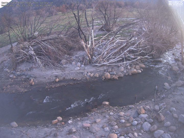
Webcams near Signal Peak
History around Signal Peak
- West Valley Fire2018
Towns near Signal Peak
- Washington21 km away
- Hurricane24 km away
- Saint George25 km away
- Santa Clara26 km away
- Springdale46 km away
- Cedar City55 km away