Signal Peak
10.369 pés3.161 m
Montanha · Pine Valley Mountains · Estados Unidos
Signal Peak, with an elevation of 10,369 feet (3,160 m), is the highest peak in the Pine Valley Mountains and in Washington County in southwestern Utah, United States. Signal Peak is located north of the city of St. George and south of the community of Pine Valley in the Dixie National Forest.
Da Wikipedia, CC BY-SA · Ler o artigo
O ponto mais alto de Pine Valley Mountains
No cume · previsão para 7:00
31 °FParcialmente nublado · vento de 5 mph de L
 Ver em 3D
Clima no cume de Signal Peak, 10.369 pés
- 7:0031 °FL 5 mph–
- 10:0038 °FSE 6 mph–
- 13:0041 °FSE 9 mph–
- 16:0042 °FS 8 mph–
- 19:0034 °FN 4 mph–
- 22:0035 °FSE 5 mph–
- 1:0035 °FL 5 mph–
- 4:0033 °FL 6 mph–
| Dia | Céu | Máx. / mín. | Chuva | Vento até |
|---|---|---|---|---|
| Hoje | Parcialmente nublado | 42 °F / 30 °F | – | 10 mph |
| qui., 29 de out. | Parcialmente nublado | 43 °F / 31 °F | – | 10 mph |
| sex., 30 de out. | Nublado | 39 °F / 29 °F | 0,17 pol. | 13 mph |
| sáb., 31 de out. | Chuva | 37 °F / 30 °F | 0,2 pol. | 7 mph |
| dom., 1 de nov. | Neve forte | 33 °F / 24 °F | 2,24 pol. | 6 mph |
| seg., 2 de nov. | Nublado | 28 °F / 21 °F | – | 8 mph |
| ter., 3 de nov. | Céu limpo | 37 °F / 20 °F | – | 6 mph |
Previsão: MET Norway (CC BY 4.0), atualizada às 05:19 GMT-6. Horários locais.
Ficha técnica
- Tipo
- Montanha
- Altitude acima do nível do mar
- 10.369 pés (3.161 m)
- Proeminência
- 4.485 pés (1.367 m)
- Cordilheira
- Pine Valley Mountains
- País
- Estados Unidos
- Ponto mais alto de
- Pine Valley Mountains
- Coordenadas
- 37.320°N 113.492°W
- Fonte
- Wikidata, CC0
Signal Peak (Utah)
Mountain in the American state of Utah
Signal Peak, with an elevation of 10,369 feet (3,160 m), is the highest peak in the Pine Valley Mountains and in Washington County in southwestern Utah, United States. Signal Peak is located north of the city of St. George and south of the community of Pine Valley in the Dixie National Forest. The summit is the highest point in the Pine Valley Mountain Wilderness.
Da Wikipedia, CC BY-SA · Ler o artigo
Picos perto de Signal Peak
- Paria Point6.949 pés · a 32 kmNo mapa
- Beatty Point7.766 pés · a 32 kmNo mapa
- Nagunt Mesa7.789 pés · a 32 kmNo mapa
- Tucupit Point7.087 pés · a 32 kmNo mapa
- Cave Knoll6.486 pés · a 34 kmNo mapa
- Horse Ranch Mountain8.743 pés · a 34 kmNo mapa
- Tabernacle Dome6.424 pés · a 35 kmNo mapa
- Pine Valley Peak7.395 pés · a 37 kmNo mapa
- South Guardian Angel7.126 pés · a 38 kmNo mapa
- North Guardian Angel7.395 pés · a 38 kmNo mapa
Montanhas mais altas de Estados Unidos
- Monte Denali20.308 pésNo mapa
- Monte Santo Elias18.009 pésNo mapa
- Monte Foraker17.402 pésNo mapa
- Mount Bona16.535 pésNo mapa
- Monte Blackburn16.390 pésNo mapa
- Monte Sanford16.237 pésNo mapa
- Monte Vancouver15.787 pésNo mapa
- Monte Churchill15.636 pésNo mapa
- Monte Fairweather15.325 pésNo mapa
- Monte Hubbard14.951 pésNo mapa
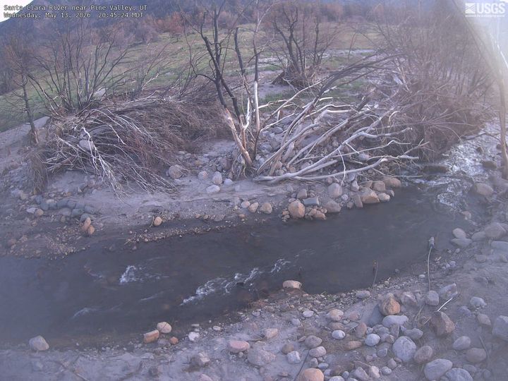
Webcams perto de Signal Peak
História ao redor de Signal Peak
- West Valley Fire2018
Cidades perto de Signal Peak
- Washingtona 21 km
- Hurricanea 24 km
- St. Georgea 25 km
- Santa Claraa 26 km
- Springdalea 46 km
- Cedar Citya 55 km