Back in time
Earthquakes in history
NOAA’s deadly, damaging and great earthquakes from around 2150 BCE, the 5,300 European earthquakes EPICA catalogues from 1000 to 1899, and the quakes TAKIP has recorded from USGS since 2026.
 Open the live map
What you see
- Earthquakes alone, as yellow marks sized by magnitude; History’s panel can add the tsunamis and eruptions around them.
- Click a quake for its magnitude, depth, intensity, deaths and damage where the source gives them, and EPICA’s uncertainty in the epicentre.
- Opened from this page, the map plays 1900 to today.
Where the data comes from
- NOAA NCEIThe Significant Earthquake Database: quakes that killed, did about $1 million of damage, reached magnitude 7.5 or intensity X, or raised a tsunami.
- EPICAThe European PreInstrumental Earthquake Catalogue, version 1.1 (Rovida and Antonucci 2021, INGV): Europe’s earthquakes from 1000 to 1899 with an estimated magnitude.
- USGSThe quakes TAKIP has recorded from the USGS feed since it began recording in 2026.
NOAA adds quakes as it reviews them; EPICA is a published catalogue; the USGS record grows as TAKIP runs.
Good to know
- Where two catalogues hold the same quake (about 390 of EPICA’s are also NOAA’s), it is one event.
- Europe before 1900 is far fuller than anywhere else, through EPICA: Italy alone holds about one quake in eight.
- Magnitudes before instruments are estimated from the damage reported; about one quake in seven has none at all.
- More than half are placed only at an area: an old epicentre is uncertain, often by tens of kilometres.
The strongest recorded here
- Earthquake — Chile: Puerto Montt, Valdivia22 May 1960 · Earthquake · Magnitude 9.5
- Earthquake — Alaska28 Mar 1964 · Earthquake · Magnitude 9.2
- Earthquake — Chile: Valparaiso8 Jul 1730 · Earthquake · Magnitude 9.1
- Earthquake — Indonesia: Sumatra: Aceh: Off West Coast26 Dec 2004 · Earthquake · Magnitude 9.1
- Earthquake — Japan: Honshu11 Mar 2011 · Earthquake · Magnitude 9.1
- Earthquake — Cascadia Subduction Zone27 Jan 1700 · Earthquake · Magnitude 9.0
- Earthquake — Russia: Kamchatka Peninsula4 Nov 1952 · Earthquake · Magnitude 9.0
- Earthquake — Ecuador: Off Coast31 Jan 1906 · Earthquake · Magnitude 8.8
- Earthquake — Chile: Maule, Concepcion, Talcahuano27 Feb 2010 · Earthquake · Magnitude 8.8
- Earthquake — Russia: Kamchatka Peninsula29 Jul 2025 · Earthquake · Magnitude 8.8
The first recorded here in each century
- Das Erdbeben zwischen Yuanping und Dai in der Provinz Shanxi in China in der Zeit der Nördlichen Wei-Dynastie fordert laut dem Weishu 5310 Tote und 2722…23 May 512 · Earthquake
- 602 Surb Karapet Monastery earthquake602 · Earthquake
- Erdbeben nahe Tianshui, Provinz Gansu, China23 Mar 734 · Earthquake
- Earthquake in Rome and Spoleto29 Apr 801 · Earthquake
- 906 K'argop' earthquake: It takes place in the monastery K'argop', Armenia906 · Earthquake
- Earthquake — Turkey9 Mar 1010 · Earthquake
- Earthquake — Turkey: Iskenderun10 Aug 1114 · Earthquake
- Earthquake — Syria: Southwestern20 May 1202 · Earthquake · Magnitude 7.6
- 1303 Crete earthquake: An earthquake destroys the Lighthouse of Alexandria in Egypt, one of the Seven wonders of the World8 Aug 1303 · Earthquake
- Earthquake — Greece: Corinth (Corinthia)Jun 1402 · Earthquake · Magnitude 7.0
- Earthquake — SwitzerlandMar 1504 · Earthquake
- Earthquake — Switzerland18 Sep 1601 · Earthquake · Magnitude 6.2
- Earthquake — Cascadia Subduction Zone27 Jan 1700 · Earthquake · Magnitude 9.0
- Earthquake — Italy: Soncino12 May 1802 · Earthquake
- en el estado de Miranda, Venezuela, se registra un fuerte terremoto de 7,7 que provoca un tsunami de 5 metros de altura y deja un saldo de 140 fallecidos29 Oct 1900 · Earthquake
- The magnitude 5.2 Kipawa earthquake occurs in Ontario and Quebec1 Jan 2000 · Earthquake
Goes well with
 Earthquakes, liveEvery earthquake of magnitude 2.5 or more in the last 24 hours, worldwide, from USGS and EMSC on one live map, with magnitude, depth and place.
 Tsunamis in historyNOAA’s record of more than 2,300 tsunamis, from Thera’s around 1610 BCE to today, on one map, with the deaths and the highest water where measured.
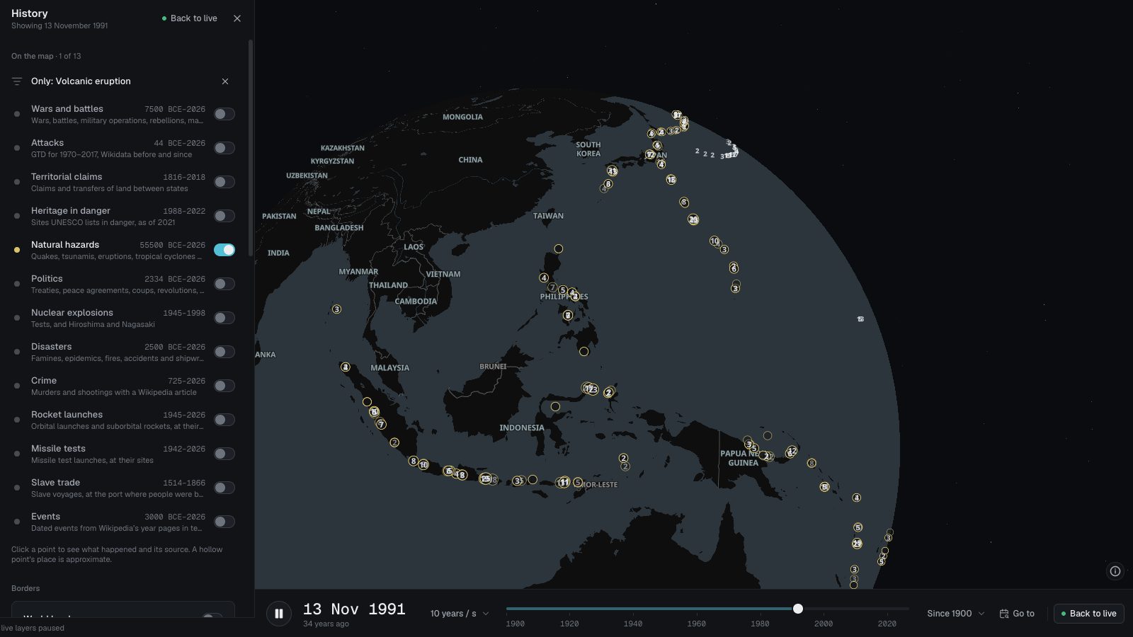 Volcanic eruptions in historyAbout 11,500 eruptions from the Smithsonian’s Global Volcanism Program and NOAA, most from the last 12,000 years, with each eruption’s size (VEI) where known.