Hazards
Earthquakes, live
Every earthquake of magnitude 2.5 or more in the last day, worldwide, from the two big catalogues merged so each quake appears once.
Right now · as of
24 earthquakes of magnitude 4.5 or more in the last 24 hours. The strongest: M6.3, 197 km NW of Port-Olry, Vanuatu.

What you see
- Each quake marked where it struck.
- Click one for its magnitude, place, depth and coordinates, the other agency’s figure where both report it, and a link to the full report.
Where the data comes from
- USGSThe US Geological Survey’s feed of earthquakes of magnitude 2.5 and up, worldwide.
- EMSCThe European-Mediterranean Seismological Centre’s catalogue, strongest in Europe and the Mediterranean.
Both catalogues are read every minute, and the map checks every 15 minutes.
Good to know
- The first magnitude is often revised in the hour after a quake.
- EMSC’s list is capped at its 500 latest events, so on a very busy day some small quakes outside the US may be missing.
- Small quakes are recorded best where seismic networks are dense, as in the US, Japan and Europe.
Goes well with
 Disaster alertsEarthquakes, tropical cyclones, floods, volcanoes and droughts flagged by GDACS, the UN and EU global disaster alert system, on a live map.
 Active firesActive fires worldwide from NASA FIRMS satellite hotspots in the last 24 hours, with US fire perimeters and Canadian incidents, on a live map.
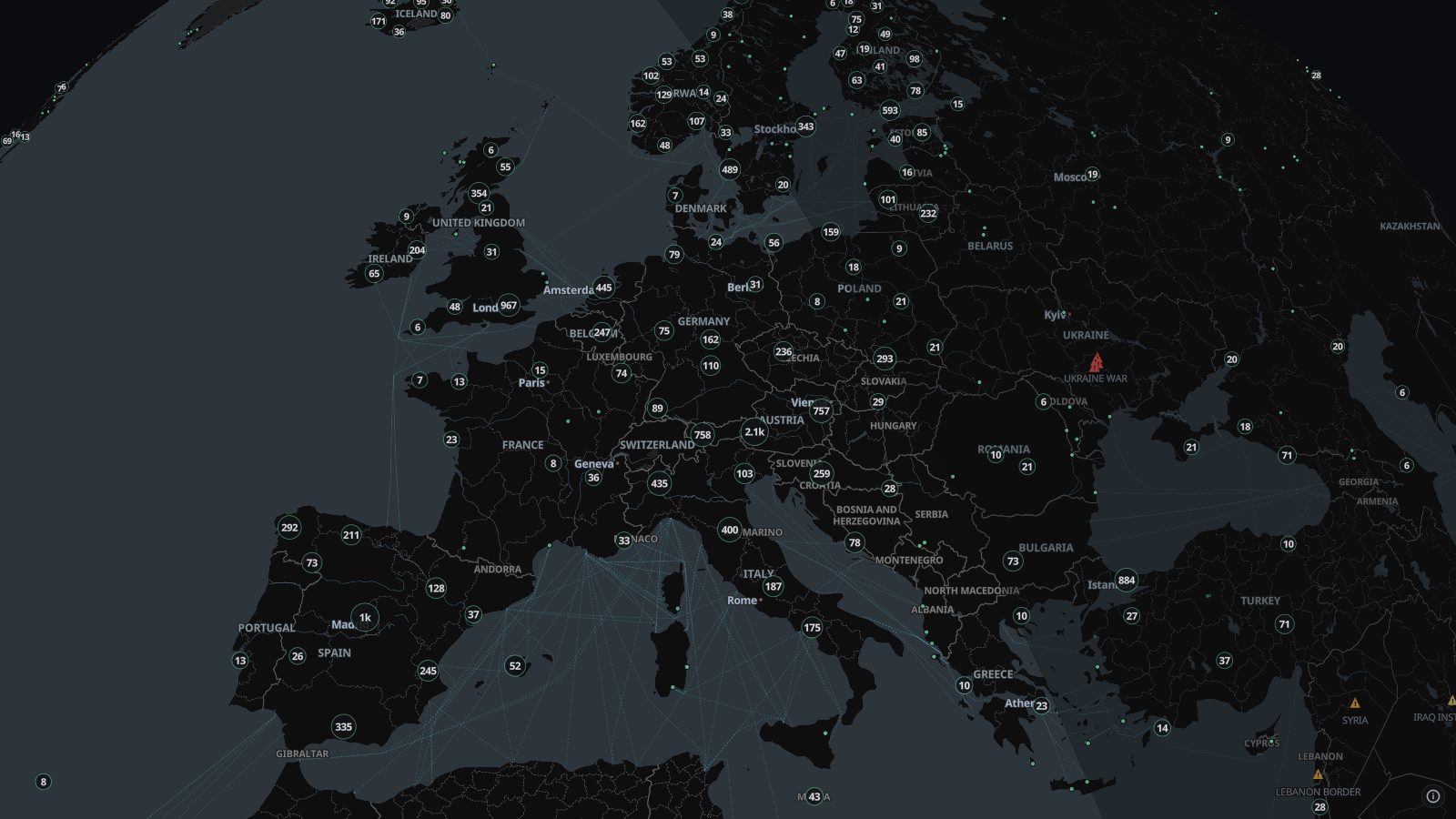 Live camerasAbout 100,000 public traffic and city cameras on one live map, from road authorities, cities and webcam networks in dozens of countries. Click to watch.
 Severe weather alertsSevere weather warnings on a live map: US and Canadian alerts, WMO and GDACS warnings, NASA EONET events and hurricane forecasts, all in one place.