Cameras and streams
Live cameras
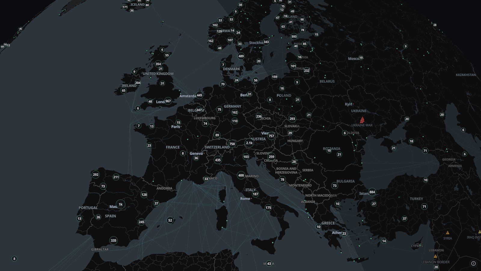
Road authorities, cities and webcam networks publish their cameras. TAKIP gathers about 100,000 of them onto one map, so you can look at a place as it is now.
What you see
- A pin per camera, with live preview tiles over them as you zoom in.
- Click one to open a player: live video where the source streams it, otherwise its latest still image, refreshing.
- Cameras that are listed but not streaming stay on the map, faded and marked off air.
Where the data comes from
- Road authoritiesHighway cameras from US state transport departments and 511 services, and from road authorities across Europe, Canada, Japan, Korea, Taiwan, Australia and New Zealand.
- CitiesCity traffic cameras, such as Istanbul’s, Seoul’s and Calgary’s.
- Webcam networksPublic webcams from networks such as CamStreamer and PhenoCam, and webcams listed on OpenStreetMap.
The camera list is rebuilt every 30 minutes; each image updates as often as its source does.
Good to know
- Many sources publish still images that update every minute or few, not video.
- Coverage follows who publishes: the US, Japan and Canada have the most, and many countries have none.
- Cameras go dark for maintenance or policy reasons; those are marked off air rather than removed.
Goes well with
 Live news streamsLive news channels from around the world, pinned to their newsrooms on a map: open a stream and watch it while you follow events on the same map.
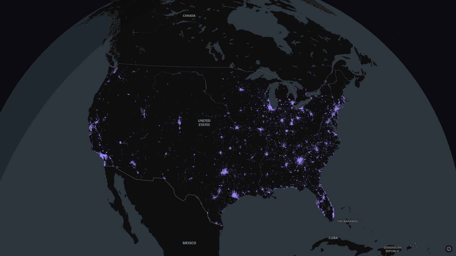 Licence-plate readers (ALPR)Automated licence-plate readers, Flock and others, mapped by volunteers on OpenStreetMap through DeFlock across the US and Canada, with where each one points.
 Buses and trains, liveBuses, trams, trains and metros moving in real time in hundreds of cities, from about 750 open transit feeds, with the route and status of each vehicle.
 Earthquakes, liveEvery earthquake of magnitude 2.5 or more in the last 24 hours, worldwide, from USGS and EMSC on one live map, with magnitude, depth and place.