Mountains in United States
See it in 3DAckerson Mountain
Mountain · United States
Ackerson Mountain is a summit in Tuolumne County, California, in the United States. With an elevation of 5,243 feet (1,598 m), Ackerson Mountain is the 2438th highest summit in the state of California.
From Wikipedia, CC BY-SA · Read the article
At the summit · forecast for 5:00 PM
55 °FPartly cloudy · wind 4 mph from the W
Ackerson Mountain weather forecast
- 5:00 PM55 °FW 4 mph–
- 8:00 PM46 °FE 2 mph–
- 11:00 PM42 °FE 5 mph–
- 2:00 AM41 °FE 5 mph–
- 5:00 AM43 °FE 4 mph–
- 8:00 AM44 °FE 3 mph–
- 11:00 AM55 °FSW 4 mph–
- 2:00 PM56 °FSW 6 mph–
| Day | Sky | High / low | Rain | Wind up to |
|---|---|---|---|---|
| Thu, Oct 29 | Cloudy | 56 °F / 41 °F | – | 6 mph |
| Fri, Oct 30 | Mostly clear | 57 °F / 42 °F | 0.01 in | 10 mph |
| Sat, Oct 31 | Rain | 54 °F / 44 °F | 1.11 in | 6 mph |
| Sun, Nov 1 | Clear | 49 °F / 34 °F | 0.02 in | 4 mph |
| Mon, Nov 2 | Mostly clear | 55 °F / 32 °F | – | 4 mph |
| Tue, Nov 3 | Cloudy | 62 °F / 41 °F | – | 3 mph |
| Wed, Nov 4 | Cloudy | 67 °F / 45 °F | – | 4 mph |
Forecast by MET Norway (CC BY 4.0), updated 12:20 PM PDT. Times are local.
Facts
- What it is
- Mountain
- Country
- United States
- Coordinates
- 37.837°N 119.864°W
- Source
- Wikidata, CC0
Peaks near Ackerson Mountain
- Smith Peak7,756 ft · 15 km awayOn the map
- Kolana Rock5,774 ft · 16 km awayOn the map
- Eagle Peak7,783 ft · 24 km awayOn the map
- Lost Arrow Spire6,657 ft · 25 km awayOn the map
- Basket Dome7,612 ft · 29 km awayOn the map
- Grizzly Peak6,222 ft · 30 km awayOn the map
- Half Dome8,835 ft · 31 km awayOn the map
- Mount Hoffmann10,855 ft · 31 km awayOn the map
- Mount Broderick6,706 ft · 31 km awayOn the map
- Liberty Cap7,080 ft · 31 km awayOn the map
Highest mountains in United States
- Denali20,308 ftOn the map
- Mount Saint Elias18,009 ftOn the map
- Mount Foraker17,402 ftOn the map
- Mount Bona16,535 ftOn the map
- Mount Blackburn16,390 ftOn the map
- Mount Sanford16,237 ftOn the map
- Mount Vancouver15,787 ftOn the map
- Mount Churchill15,636 ftOn the map
- Mount Fairweather15,325 ftOn the map
- Mount Hubbard14,951 ftOn the map
Webcams near Ackerson Mountain
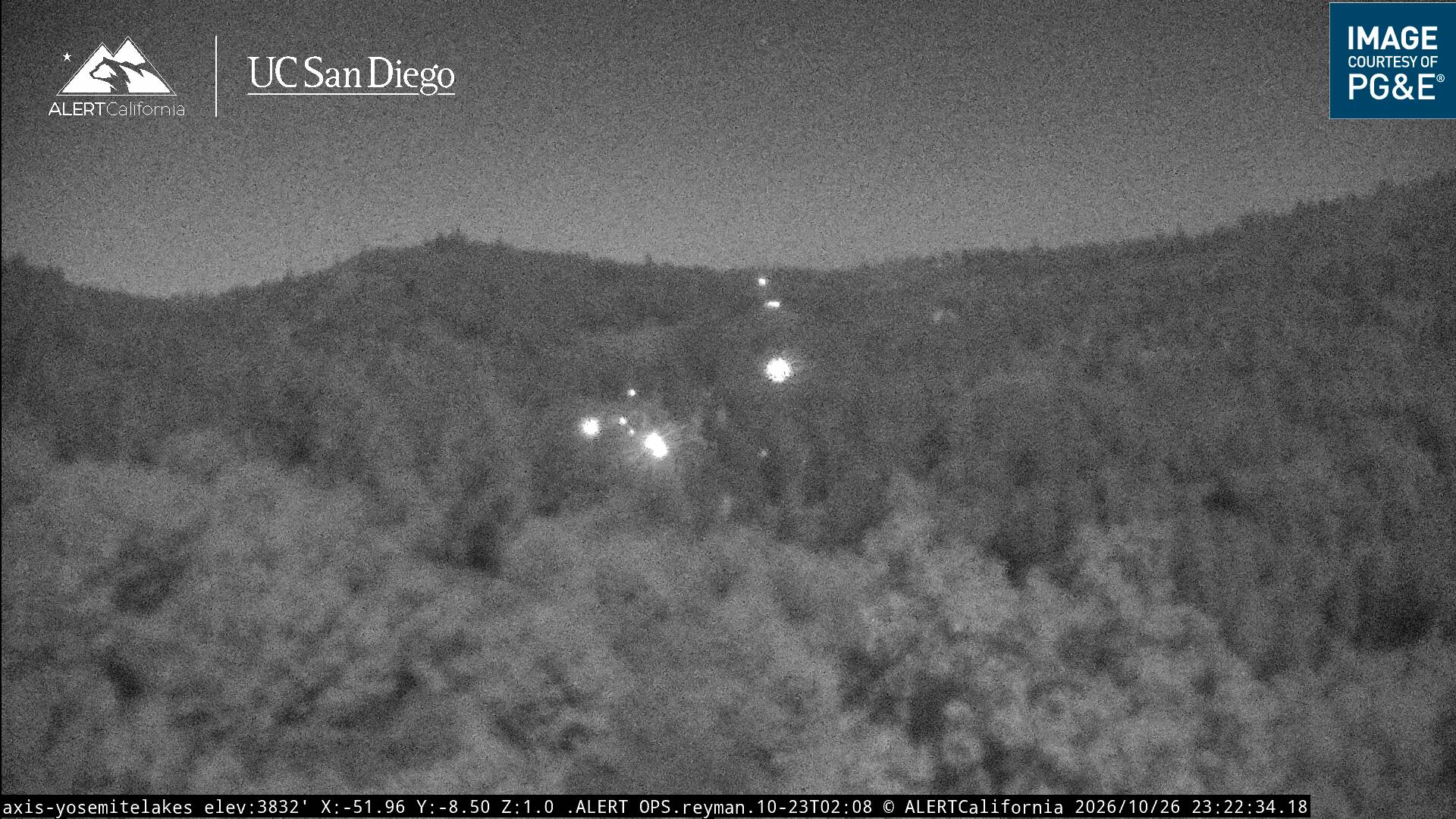

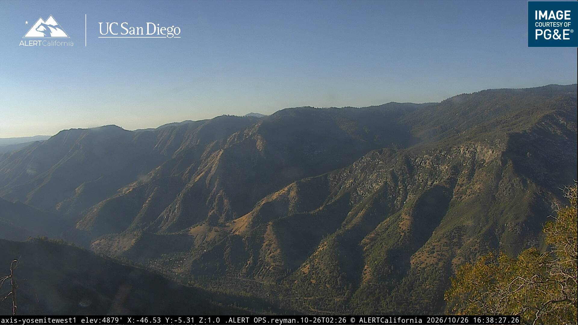
History around Ackerson Mountain
- Rim Fire2013