Antimony Peak
Mountain · United States
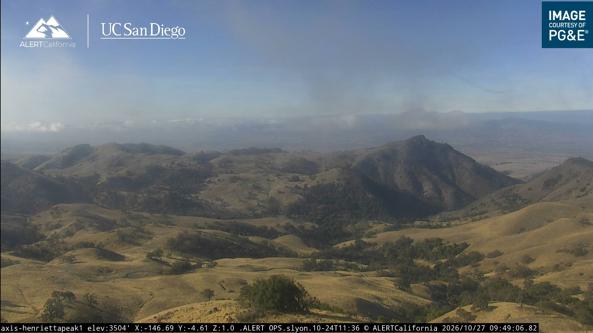
Antimony Peak is a mountain summit on the east west divide of the Diablo Range and on the boundary of San Benito County and Merced County, California. It rises to an elevation of 3,248 feet just south of Frenchs Pass on the same divide and southeast of French Ranch.
From Wikipedia, CC BY-SA · Read the article
At the summit · forecast for 2:00 AM
47 °FPartly cloudy · wind 3 mph from the E
Antimony Peak weather forecast
- 2:00 AM47 °FE 3 mph–
- 5:00 AM46 °FE 3 mph–
- 8:00 AM48 °FE 4 mph–
- 11:00 AM59 °FNW 2 mph–
- 2:00 PM64 °FW 7 mph–
- 5:00 PM59 °FW 9 mph–
- 8:00 PM52 °FW 6 mph–
- 11:00 PM50 °FSW 5 mph0.01 in
| Day | Sky | High / low | Rain | Wind up to |
|---|---|---|---|---|
| Today | Partly cloudy | 64 °F / 46 °F | – | 10 mph |
| Fri, Oct 30 | Mostly clear | 61 °F / 46 °F | 0.02 in | 10 mph |
| Sat, Oct 31 | Cloudy | 55 °F / 41 °F | 0.04 in | 5 mph |
| Sun, Nov 1 | Clear | 56 °F / 41 °F | – | 8 mph |
| Mon, Nov 2 | Clear | 61 °F / 39 °F | – | 4 mph |
| Tue, Nov 3 | Partly cloudy | 64 °F / 44 °F | – | 4 mph |
| Wed, Nov 4 | Clear | 62 °F / 48 °F | – | 5 mph |
Forecast by MET Norway (CC BY 4.0), updated 06:17 PM PDT. Times are local.
Facts
- What it is
- Mountain
- Country
- United States
- Coordinates
- 36.930°N 121.234°W
- Source
- Wikidata, CC0
Antimony Peak (San Benito–Merced counties, California)
Mountain in California, United States
Antimony Peak is a mountain summit on the east west divide of the Diablo Range and on the boundary of San Benito County and Merced County, California. It rises to an elevation of 3,248 feet just south of Frenchs Pass on the same divide and southeast of French Ranch.
From Wikipedia, CC BY-SA · Read the article
Peaks near Antimony Peak
- Laveaga Peak3,804 ft · 6.7 km awayOn the map
- Fremont Peak3,173 ft · 31 km awayOn the map
- Rooster Comb1,836 ft · 36 km awayOn the map
- Lions Peak1,117 ft · 38 km awayOn the map
- Mount Sizer3,219 ft · 40 km awayOn the map
- Mount Madonna1,900 ft · 43 km awayOn the map
- El Toro1,427 ft · 44 km awayOn the map
- Tulare Hill620 ft · 56 km awayOn the map
- Crystal Peak3,592 ft · 57 km awayOn the map
- Mount Chual3,562 ft · 57 km awayOn the map
Highest mountains in United States
- Denali20,308 ftOn the map
- Mount Saint Elias18,009 ftOn the map
- Mount Foraker17,402 ftOn the map
- Mount Bona16,535 ftOn the map
- Mount Blackburn16,390 ftOn the map
- Mount Sanford16,237 ftOn the map
- Mount Vancouver15,787 ftOn the map
- Mount Churchill15,636 ftOn the map
- Mount Fairweather15,325 ftOn the map
- Mount Hubbard14,951 ftOn the map