Mount Chual
3,562 ft1,086 m
Mountain · Santa Cruz Mountains · United States
Mount Chual is a prominent peak in the Santa Cruz Mountains in southwest Santa Clara County, California, United States. The landmark lies 10 mi (16 km) west of Morgan Hill, and approximately 0.8 mi (1 km) northeast of Loma Prieta. It is the third highest peak in the Santa Cruz Mountains.
From Wikipedia, CC BY-SA · Read the article
At the summit · forecast for 5:00 PM
55 °FClear · wind 8 mph from the N
 See it in 3D
Weather at the summit of Mount Chual, 3,562 ft
- 5:00 PM55 °FN 8 mph–
- 8:00 PM46 °FN 8 mph–
- 11:00 PM42 °FN 8 mph–
- 2:00 AM40 °FN 7 mph–
- 5:00 AM38 °FNW 6 mph–
- 8:00 AM38 °FNW 6 mph–
- 11:00 AM48 °FNW 7 mph–
- 2:00 PM55 °FNW 6 mph–
| Day | Sky | High / low | Rain | Wind up to |
|---|---|---|---|---|
| Tue, Oct 27 | Cloudy | 55 °F / 38 °F | – | 7 mph |
| Wed, Oct 28 | Partly cloudy | 59 °F / 33 °F | – | 7 mph |
| Thu, Oct 29 | Partly cloudy | 56 °F / 42 °F | – | 4 mph |
| Fri, Oct 30 | Clear | 53 °F / 38 °F | – | 6 mph |
| Sat, Oct 31 | Cloudy | 49 °F / 36 °F | – | 9 mph |
| Sun, Nov 1 | Clear | 54 °F / 36 °F | – | 8 mph |
| Mon, Nov 2 | Clear | 68 °F / 37 °F | – | 2 mph |
Forecast by MET Norway (CC BY 4.0), updated 04:19 PM PDT. Times are local.
Facts
- What it is
- Mountain
- Height above sea level
- 3,562 ft (1,086 m)
- Range
- Santa Cruz Mountains
- Country
- United States
- Coordinates
- 37.119°N 121.835°W
- Source
- Wikidata, CC0
Mount Chual
Mountain in California, United States
Mount Chual is a prominent peak in the Santa Cruz Mountains in southwest Santa Clara County, California, United States. The landmark lies 10 mi (16 km) west of Morgan Hill, and approximately 0.8 mi (1 km) northeast of Loma Prieta. It is the third highest peak in the Santa Cruz Mountains. Several tributaries to Llagas Creek originate on the southern and eastern flanks of the peak.
From Wikipedia, CC BY-SA · Read the article
Peaks near Mount Chual
- Crystal Peak3,592 ft · 0.7 km awayOn the map
- Loma Prieta3,789 ft · 1.2 km awayOn the map
- Mount Umunhum3,489 ft · 7.3 km awayOn the map
- Mount Thayer3,479 ft · 9 km awayOn the map
- Tulare Hill620 ft · 13 km awayOn the map
- El Toro1,427 ft · 14 km awayOn the map
- Mount Madonna1,900 ft · 17 km awayOn the map
- Lions Peak1,117 ft · 19 km awayOn the map
- Mount Bielawski3,234 ft · 26 km awayOn the map
- Mount Hamilton4,354 ft · 30 km awayOn the map
Highest in the Santa Cruz Mountains
- Loma Prieta3,789 ftOn the map
- Mount Chual3,562 ftOn the map
- Mount Bielawski3,234 ftOn the map
- Black Mountain2,812 ftOn the map
- Mount Madonna1,900 ftOn the map
- El Toro1,427 ftOn the map
- San Bruno Mountain1,319 ftOn the map
Highest mountains in United States
- Denali20,308 ftOn the map
- Mount Saint Elias18,009 ftOn the map
- Mount Foraker17,402 ftOn the map
- Mount Bona16,535 ftOn the map
- Mount Blackburn16,390 ftOn the map
- Mount Sanford16,237 ftOn the map
- Mount Vancouver15,787 ftOn the map
- Mount Churchill15,636 ftOn the map
- Mount Fairweather15,325 ftOn the map
- Mount Hubbard14,951 ftOn the map
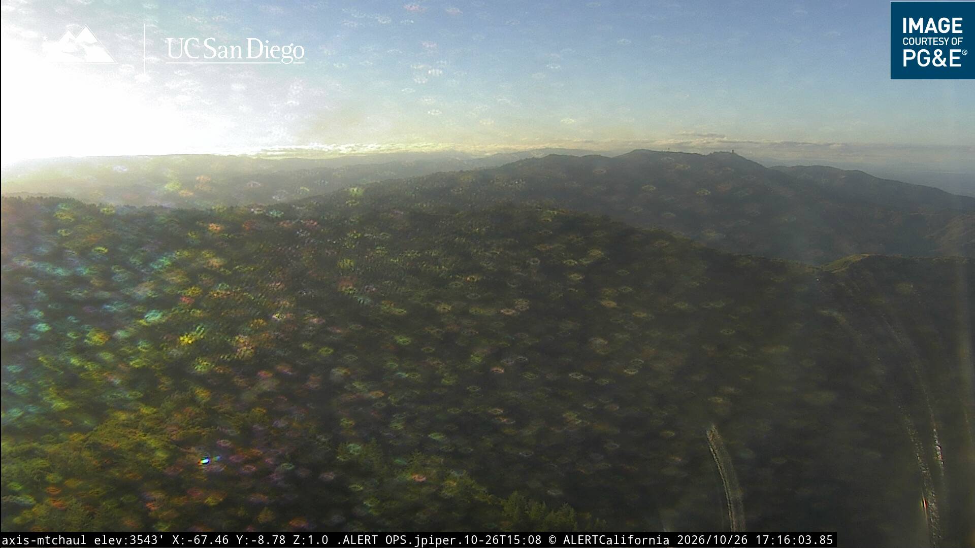
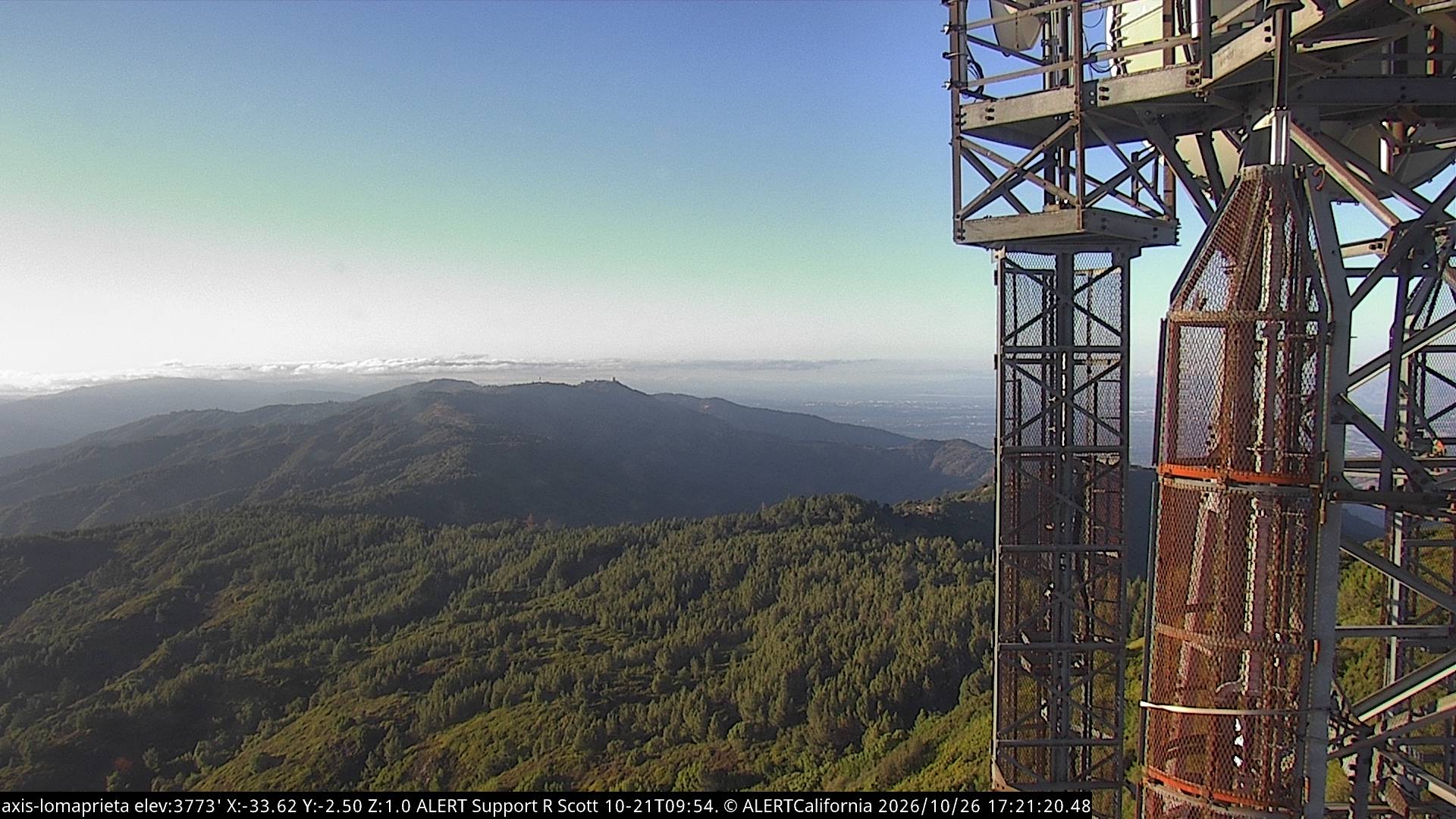
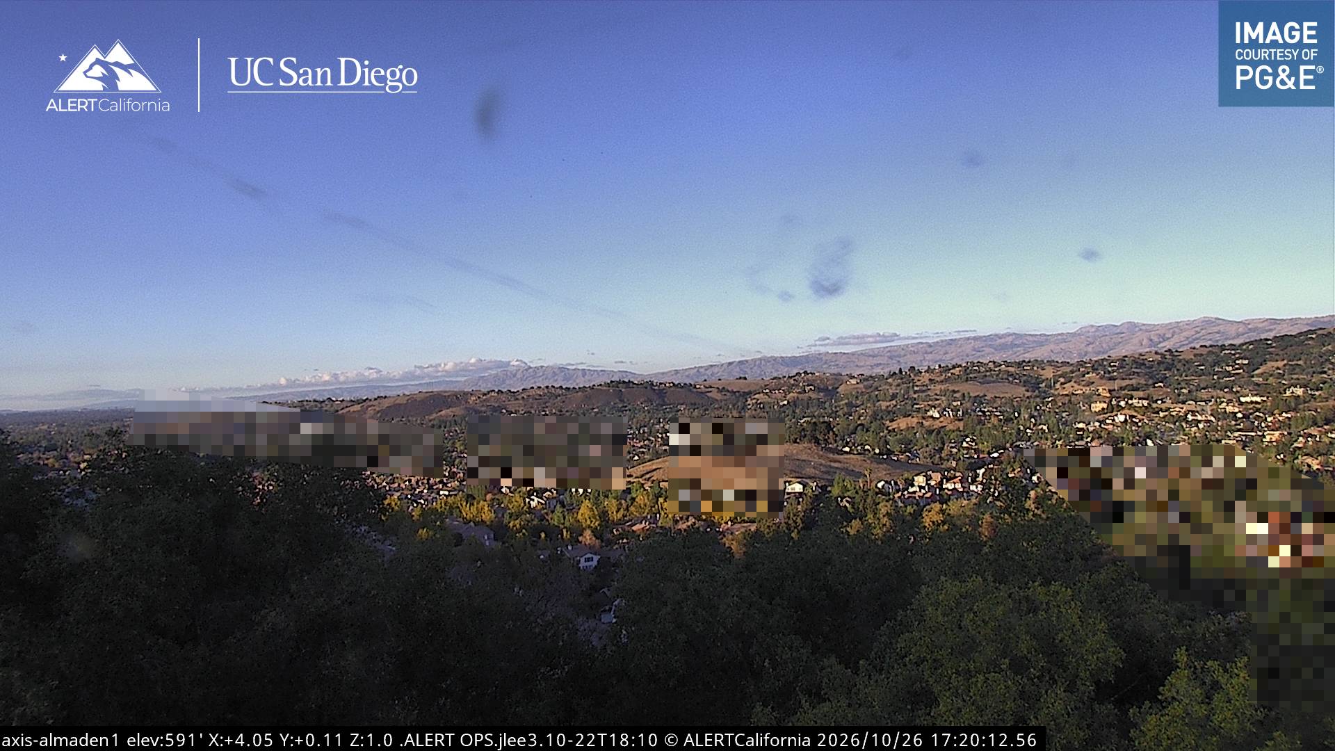
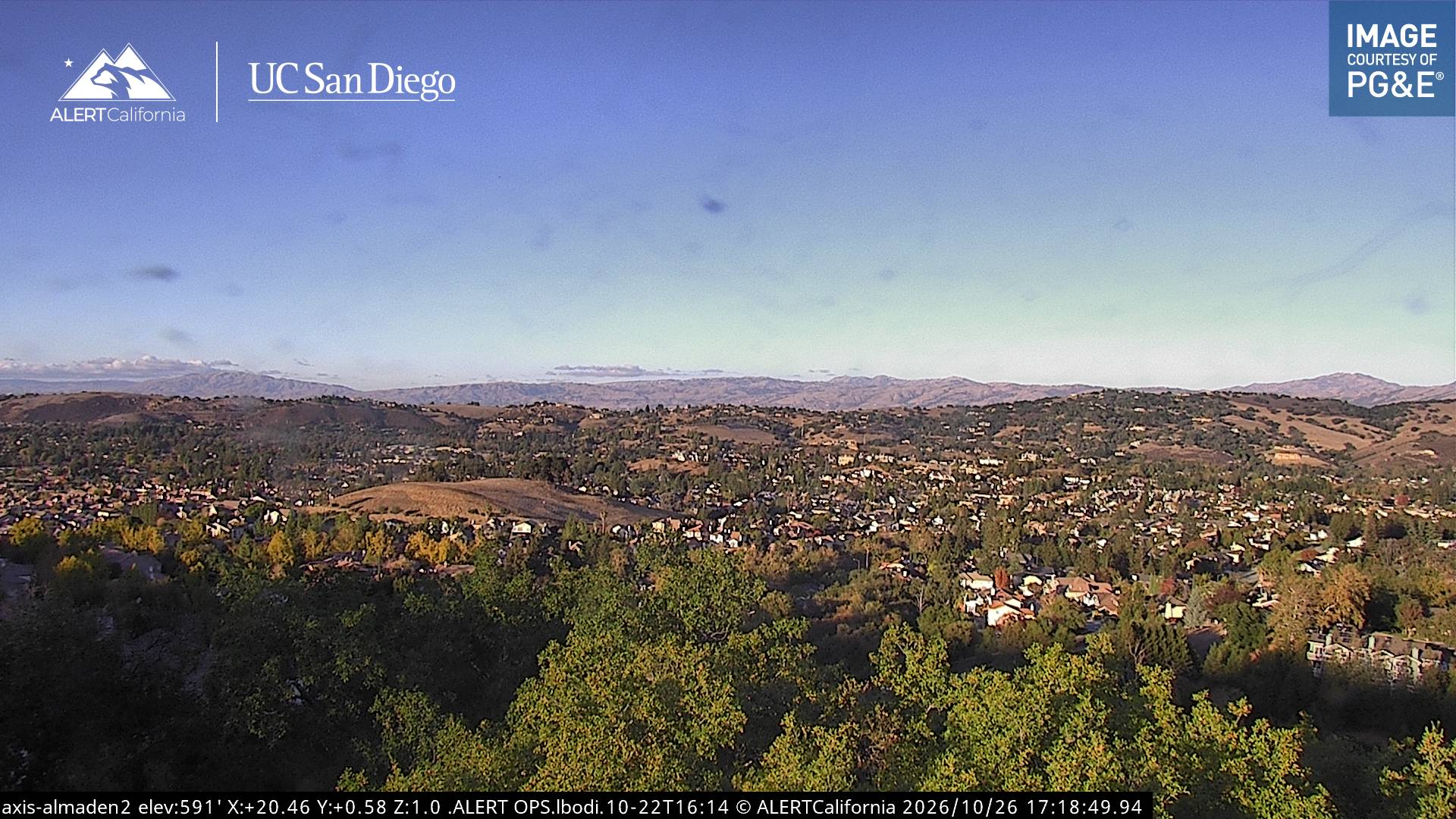
Webcams near Mount Chual
History around Mount Chual
Towns near Mount Chual
- Morgan Hill16 km away
- Los Gatos17 km away
- Capitola19 km away
- Monte Sereno19 km away
- Live Oak20 km away
- Campbell21 km away