Black Mountain
2,812 ft857 m
Mountain · Santa Cruz Mountains · United States
Black Mountain is a summit on Monte Bello Ridge in the Santa Cruz Mountains of west Santa Clara County, California, south of Los Altos and Los Altos Hills, and west of Cupertino; it is within the Palo Alto city limits though not near the developed part of the city.
From Wikipedia, CC BY-SA · Read the article
At the summit · forecast for 5:00 AM
47 °FCloudy · wind 1 mph from the S
 See it in 3D
Weather at the summit of Black Mountain, 2,812 ft
- 5:00 AM47 °FS 1 mph–
- 8:00 AM47 °FSW 1 mph–
- 11:00 AM57 °FE 3 mph–
- 2:00 PM63 °FSW 6 mph–
- 5:00 PM60 °FSW 5 mph–
- 8:00 PM49 °FSW 4 mph–
- 11:00 PM46 °FSW 3 mph–
- 2:00 AM46 °FSW 4 mph–
| Day | Sky | High / low | Rain | Wind up to |
|---|---|---|---|---|
| Today | Partly cloudy | 63 °F / 46 °F | – | 6 mph |
| Fri, Oct 30 | Clear | 60 °F / 41 °F | – | 8 mph |
| Sat, Oct 31 | Light rain | 58 °F / 37 °F | 0.01 in | 7 mph |
| Sun, Nov 1 | Clear | 54 °F / 42 °F | – | 7 mph |
| Mon, Nov 2 | Mostly clear | 60 °F / 46 °F | – | 4 mph |
| Tue, Nov 3 | Partly cloudy | 65 °F / 47 °F | – | 3 mph |
| Wed, Nov 4 | Clear | 60 °F / 46 °F | – | 3 mph |
Forecast by MET Norway (CC BY 4.0), updated 01:20 AM PDT. Times are local.
Facts
- What it is
- Mountain
- Height above sea level
- 2,812 ft (857 m)
- Range
- Santa Cruz Mountains
- Country
- United States
- Coordinates
- 37.319°N 122.147°W
- Source
- Wikidata, CC0
Black Mountain (near Los Altos, California)
Mountain in Santa Clara County, California
Black Mountain is a summit on Monte Bello Ridge in the Santa Cruz Mountains of west Santa Clara County, California, south of Los Altos and Los Altos Hills, and west of Cupertino; it is within the Palo Alto city limits though not near the developed part of the city. It is located on the border between Rancho San Antonio Open Space Preserve and Monte Bello Open Space Preserve, with the summit located in the former.
From Wikipedia, CC BY-SA · Read the article
Peaks near Black Mountain
- Mount Bielawski3,234 ft · 12 km awayOn the map
- Mount Thayer3,479 ft · 27 km awayOn the map
- Mount Umunhum3,489 ft · 28 km awayOn the map
- Monument Peak2,598 ft · 31 km awayOn the map
- Mount Allison2,664 ft · 32 km awayOn the map
- Montara Mountain1,901 ft · 34 km awayOn the map
- Loma Prieta3,789 ft · 35 km awayOn the map
- Mount Chual3,562 ft · 35 km awayOn the map
- Crystal Peak3,592 ft · 36 km awayOn the map
- Tulare Hill620 ft · 36 km awayOn the map
Highest in the Santa Cruz Mountains
- Loma Prieta3,789 ftOn the map
- Mount Bielawski3,234 ftOn the map
- Black Mountain2,812 ftOn the map
- Mount Madonna1,900 ftOn the map
- El Toro1,427 ftOn the map
- San Bruno Mountain1,319 ftOn the map
Highest mountains in United States
- Denali20,308 ftOn the map
- Mount Saint Elias18,009 ftOn the map
- Mount Foraker17,402 ftOn the map
- Mount Bona16,535 ftOn the map
- Mount Blackburn16,390 ftOn the map
- Mount Sanford16,237 ftOn the map
- Mount Vancouver15,787 ftOn the map
- Mount Churchill15,636 ftOn the map
- Mount Fairweather15,325 ftOn the map
- Mount Hubbard14,951 ftOn the map
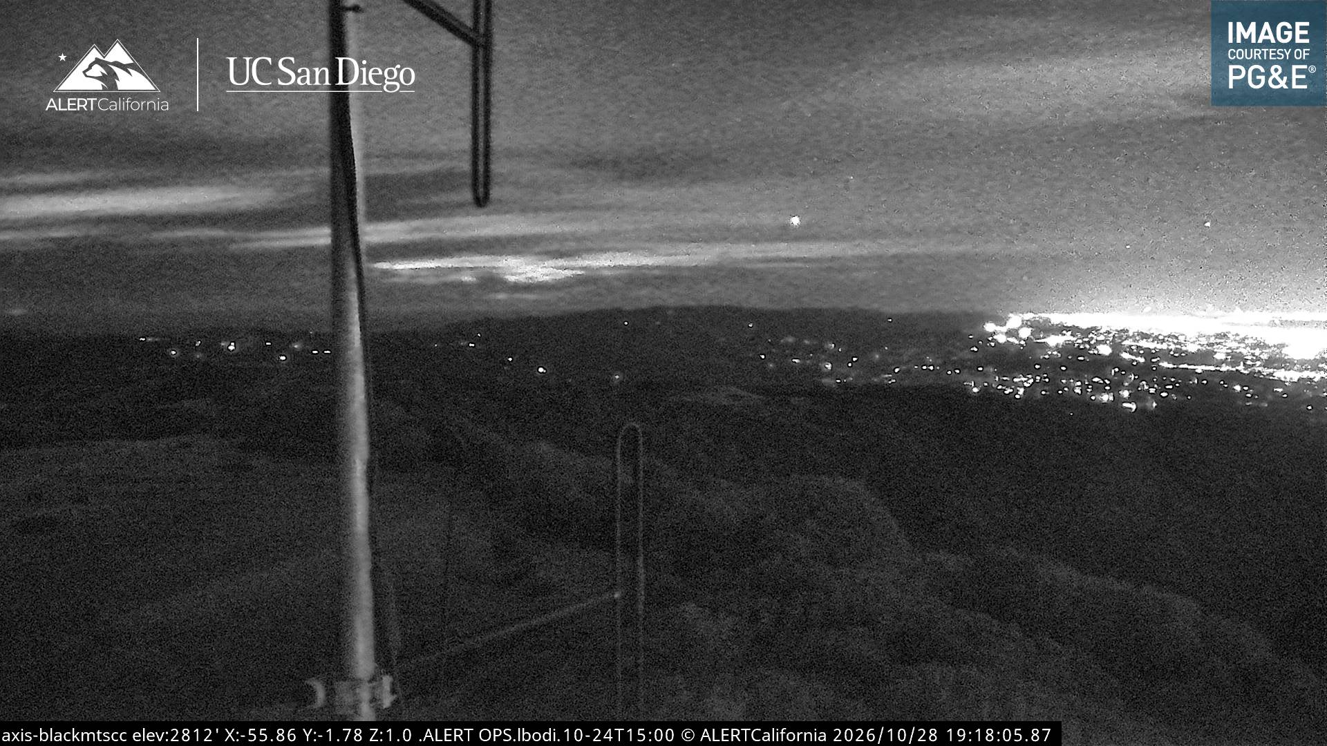
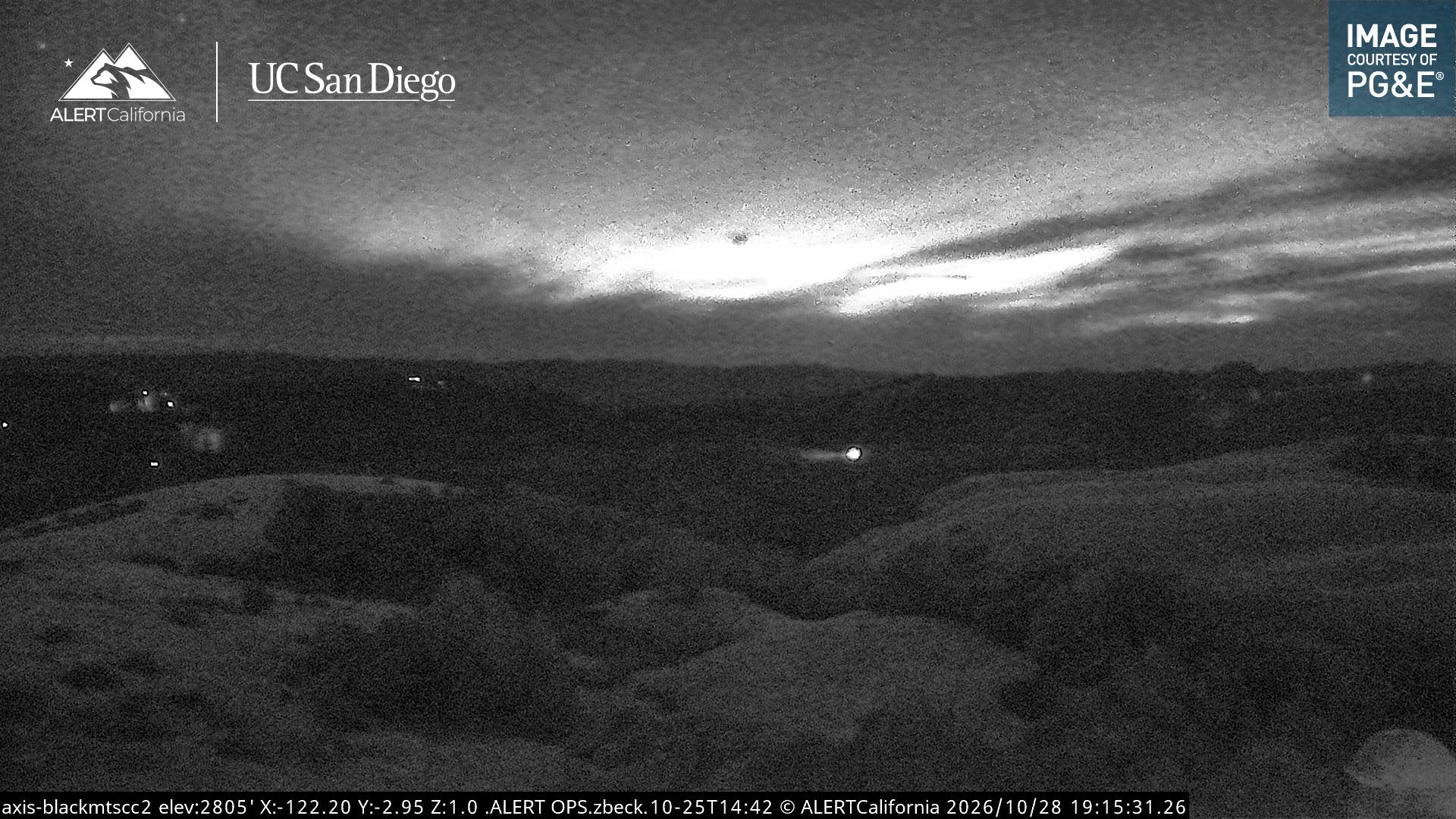
Webcams near Black Mountain
History around Black Mountain
- Sunnyvale ESL shooting1988
- The controversial Stanford prison experiment, led by Stanford University psychology professor Philip Zimbardo, began in Palo Alto, California1971
- BCPA Flight 3041953
- McGlincy murders1896
- CZU Lightning Complex fires2020
- 2008 SiPort murders2008
- 1973 Sunnyvale mid-air collision1973
- Battle of Santa Clara1847
Towns near Black Mountain
- Los Altos Hills5.4 km away
- Los Altos7.9 km away
- Portola Valley9.2 km away
- Mountain View9.3 km away
- Cupertino10 km away
- Sunnyvale11 km away