Facts
- What it is
- Mountain
- Country
- United States
- Coordinates
- 42.307°N 122.839°W
- Source
- Wikidata, CC0
Peaks near Barneburg Hill
- Roxy Ann Peak3,576 ft · 6.8 km awayOn the map
- Grizzly Peak5,922 ft · 19 km awayOn the map
- Negro Ben Mountain4,398 ft · 24 km awayOn the map
- Mount Ashland7,533 ft · 27 km awayOn the map
- Pilot Rock5,910 ft · 38 km awayOn the map
- Mount McLoughlin9,495 ft · 46 km awayOn the map
- Kangaroo Mountain6,697 ft · 52 km awayOn the map
- BaldyMountain · 7.3 km awayOn the map
- TombstoneMountain · 7.5 km awayOn the map
- Coker ButteMountain · 7.9 km awayOn the map
Highest mountains in United States
- Denali20,308 ftOn the map
- Mount Saint Elias18,009 ftOn the map
- Mount Foraker17,402 ftOn the map
- Mount Bona16,535 ftOn the map
- Mount Blackburn16,390 ftOn the map
- Mount Sanford16,237 ftOn the map
- Mount Vancouver15,787 ftOn the map
- Mount Churchill15,636 ftOn the map
- Mount Fairweather15,325 ftOn the map
- Mount Hubbard14,951 ftOn the map
Webcams near Barneburg Hill
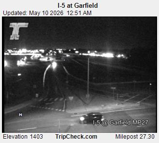
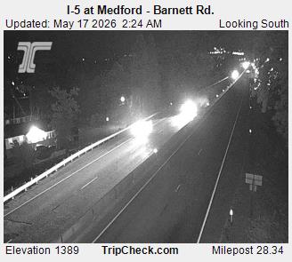
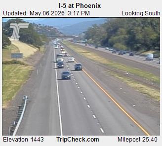
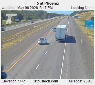
Towns near Barneburg Hill
- Medford3.7 km away
- Phoenix4.1 km away
- Talent8.8 km away
- Central Point9.9 km away
- Ashland16 km away
- Eagle Point18 km away