Mountains in Poland
Błatnia
917 m3,009 ft
Mountain · Silesian Beskids · Poland
Die Błatnia ist ein Berg in Polen. Er liegt auf der Grenze der Gemeindegebiete von Brenna und Jaworze. Mit einer Höhe von 885 m ist er der höchste Berg im Klimczok-Kamm der Schlesischen Beskiden. Der Berg ist ein beliebtes Touristenziel mit vielen Ausblicken auf die benachbarten Gebirge und das Tiefland.
From German Wikipedia, CC BY-SA · Read the article
At the summit · forecast for 1:00 PM
8 °CClear · wind 9 km/h from the NE
 See it in 3D
Weather at the summit of Błatnia, 917 m
- 1:00 PM8 °CNE 9 km/h–
- 4:00 PM5 °CNE 9 km/h–
- 7:00 PM2 °CE 11 km/h–
- 10:00 PM-0 °CSE 9 km/h–
- 1:00 AM-1 °CS 9 km/h–
- 4:00 AM-1 °CS 10 km/h–
- 7:00 AM-1 °CS 8 km/h–
- 10:00 AM8 °CNE 4 km/h–
| Day | Sky | High / low | Rain | Wind up to |
|---|---|---|---|---|
| Wed, Oct 28 | Clear | 10 °C / -1 °C | – | 11 km/h |
| Thu, Oct 29 | Partly cloudy | 7 °C / 0 °C | – | 12 km/h |
| Fri, Oct 30 | Mostly clear | 6 °C / 3 °C | 0.5 mm | 10 km/h |
| Sat, Oct 31 | Rain | 4 °C / 2 °C | 6.7 mm | 12 km/h |
| Sun, Nov 1 | Light rain | 2 °C / 1 °C | 3.6 mm | 11 km/h |
| Mon, Nov 2 | Cloudy | 2 °C / -0 °C | 3.2 mm | 9 km/h |
| Tue, Nov 3 | Sleet | 2 °C / 0 °C | 11.7 mm | 18 km/h |
Forecast by MET Norway (CC BY 4.0), updated 12:19 PM GMT+1. Times are local.
Facts
- What it is
- Mountain
- Height above sea level
- 917 m (3,009 ft)
- Range
- Silesian Beskids
- Country
- Poland
- Coordinates
- 49.749°N 18.944°E
- Source
- Wikidata, CC0
Peaks near Błatnia
- Skrzyczne1,257 m · 9.5 km awayOn the map
- Czantoria Wielka995 m · 13 km awayOn the map
- Barania Góra1,220 m · 16 km awayOn the map
- Stożek Wielki978 m · 18 km awayOn the map
- Żar761 m · 21 km awayOn the map
- Girová840 m · 26 km awayOn the map
- Kozubová982 m · 28 km awayOn the map
- Pilsko1,557 m · 37 km awayOn the map
- Wielka Racza1,236 m · 37 km awayOn the map
- Lysá hora1,324 m · 42 km awayOn the map
Highest in the Silesian Beskids
- Skrzyczne1,257 mOn the map
- Glinne1,034 mOn the map
- Muronka1,021 mOn the map
- Czantoria Wielka995 mOn the map
- Kotarz974 mOn the map
- Błatnia917 mOn the map
- Grabowa907 mOn the map
- Ochodzita895 mOn the map
- Równica885 mOn the map
Highest mountains in Poland
- Świnica2,302 mOn the map
- Kresanica2,122 mOn the map
- Babia Góra1,725 mOn the map
- Sněžka1,603 mOn the map
- Pilsko1,557 mOn the map
- Wielki Szyszak1,510 mOn the map
- Smogornia1,490 mOn the map
- Mały Szyszak1,440 mOn the map
- Králický Sněžník1,423 mOn the map
- Błatnia917 mOn the map
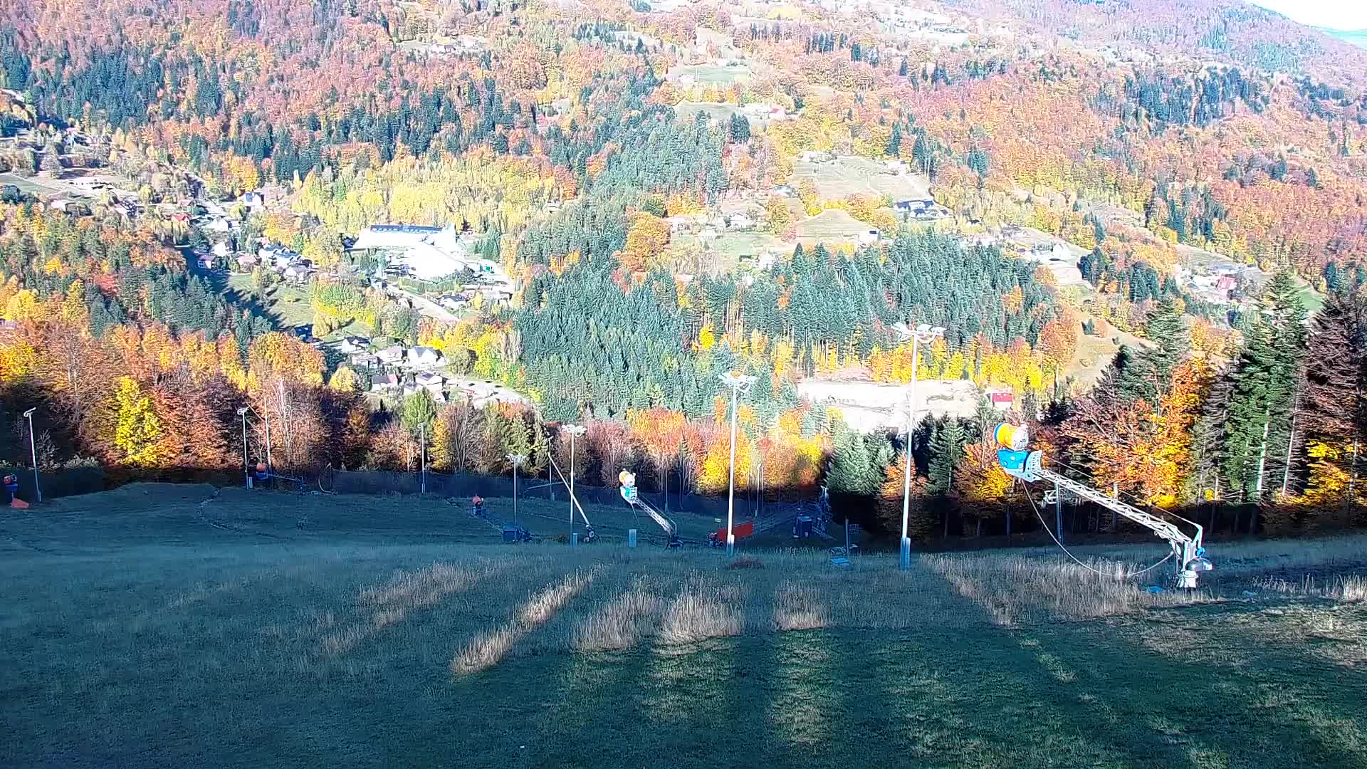
Webcams near Błatnia


History around Błatnia
Towns near Błatnia
- Ustroń11 km away
- Bielsko-Biala11 km away
- Czechowice-Dziedzice19 km away
- Żywiec19 km away
- Třinec21 km away
- Cieszyn22 km away