Mountains in Austria
Blaue Köpfe
3,058 m10,033 ft
Mountain · Glockner Group · Austria
Die Blauen Köpfe sind ein 3061 m ü. A. hoher Berggipfel der Glocknergruppe in Osttirol. Sie wurden erstmals 1857 von Josef Anton Specht, Albert Wachtler mit Christian Ranggetiner im Zuge einer Überschreitung der Langen Wand bis zur Adlersruhe begangen.
From German Wikipedia, CC BY-SA · Read the article
At the summit · forecast for 2:00 AM
-7 °CMostly clear · wind 5 km/h from the N
 See it in 3D
Weather at the summit of Blaue Köpfe, 3,058 m
- 2:00 AM-7 °CN 5 km/h–
- 5:00 AM-4 °CNW 5 km/h–
- 8:00 AM-2 °CN 4 km/h–
- 11:00 AM-1 °CNW 4 km/h–
- 2:00 PM-1 °CNW 4 km/h–
- 5:00 PM-4 °CN 3 km/h–
- 8:00 PM-3 °CN 4 km/h–
- 11:00 PM-3 °CN 5 km/h–
| Day | Sky | High / low | Rain | Wind up to |
|---|---|---|---|---|
| Today | Mostly clear | -1 °C / -7 °C | – | 5 km/h |
| Wed, Oct 28 | Snow | -3 °C / -7 °C | 5.3 mm | 9 km/h |
| Thu, Oct 29 | Clear | -5 °C / -13 °C | – | 9 km/h |
| Fri, Oct 30 | Clear | -4 °C / -12 °C | – | 2 km/h |
| Sat, Oct 31 | Clear | -1 °C / -10 °C | – | 1 km/h |
| Sun, Nov 1 | Clear | -1 °C / -8 °C | – | 2 km/h |
| Mon, Nov 2 | Clear | -5 °C / -13 °C | – | 6 km/h |
Forecast by MET Norway (CC BY 4.0), updated 12:19 AM GMT+1. Times are local.
Facts
- What it is
- Mountain
- Height above sea level
- 3,058 m (10,033 ft)
- Range
- Glockner Group
- Country
- Austria
- Coordinates
- 47.059°N 12.699°E
- Source
- Wikidata, CC0
Peaks near Blaue Köpfe
- Grossglockner3,798 m · 1.7 km awayOn the map
- Glocknerwand3,721 m · 2.5 km awayOn the map
- Johannisberg3,453 m · 5.9 km awayOn the map
- Großer Muntanitz3,232 m · 8.5 km awayOn the map
- Großes Wiesbachhorn3,564 m · 12 km awayOn the map
- Hoher Tenn3,368 m · 14 km awayOn the map
- Kitzsteinhorn3,203 m · 14 km awayOn the map
- Petzeck3,283 m · 15 km awayOn the map
- Hocharn3,254 m · 18 km awayOn the map
- Rainerhorn3,559 m · 26 km awayOn the map
Highest in the Glockner Group
- Grossglockner3,798 mOn the map
- Großes Wiesbachhorn3,564 mOn the map
- Hoher Tenn3,368 mOn the map
- Fuscherkarkopf3,331 mOn the map
- Schwerteck3,247 mOn the map
- Hocheiser3,206 mOn the map
- Kitzsteinhorn3,203 mOn the map
- Blaue Köpfe3,058 mOn the map
Highest mountains in Austria
- Grossglockner3,798 mOn the map
- Wildspitze3,768 mOn the map
- Weißkugel3,738 mOn the map
- Großvenediger3,657 mOn the map
- Hintere Schwärze3,624 mOn the map
- Großes Wiesbachhorn3,564 mOn the map
- Ramolkogel3,549 mOn the map
- Schalfkogel3,537 mOn the map
- Watzespitze3,532 mOn the map
- Fineilspitze3,514 mOn the map
Webcams near Blaue Köpfe
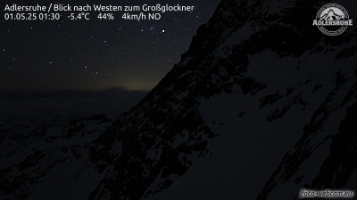
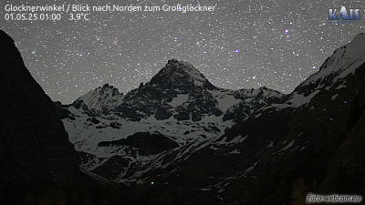
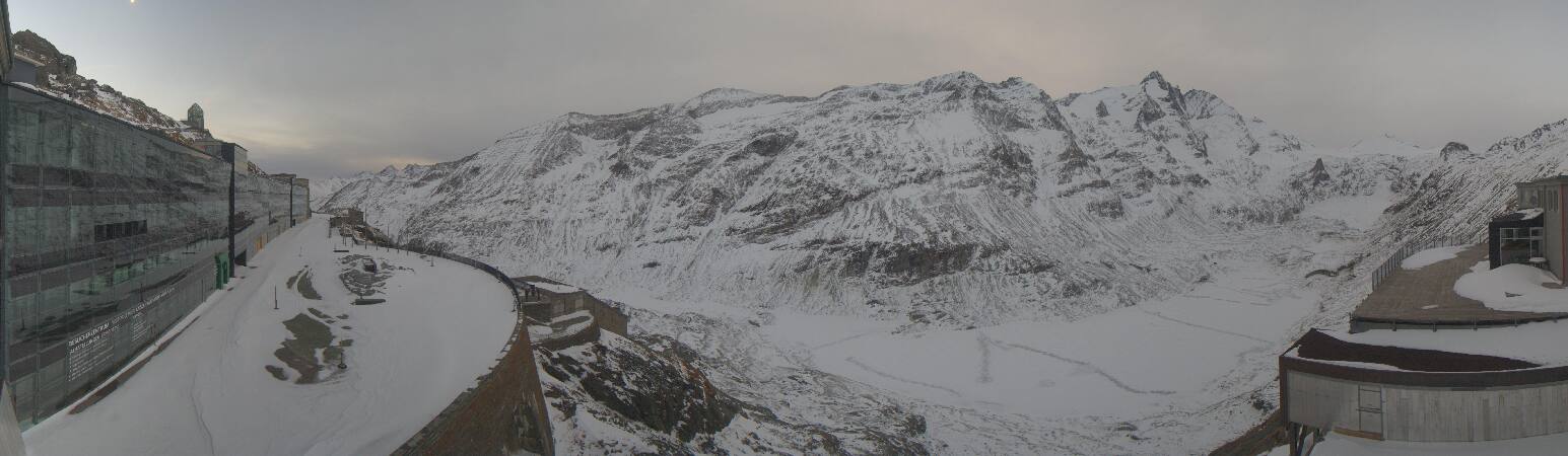
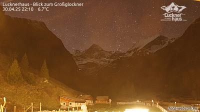
History around Blaue Köpfe
- Kaprun disaster2000
Towns near Blaue Köpfe
- Saalfelden am Steinernen Meer42 km away
- Bad Reichenhall76 km away